404 E Broad St Rutland, IL 61358
Estimated Value: $51,000 - $76,000
--
Bed
--
Bath
1,056
Sq Ft
$59/Sq Ft
Est. Value
About This Home
This home is located at 404 E Broad St, Rutland, IL 61358 and is currently estimated at $62,558, approximately $59 per square foot. 404 E Broad St is a home located in LaSalle County with nearby schools including Fieldcrest Elementary School - South, Fieldcrest Elementary School - West, and Fieldcrest High School.
Ownership History
Date
Name
Owned For
Owner Type
Purchase Details
Closed on
Aug 9, 2020
Sold by
Malone Austin and Malone Karen
Bought by
Lowery Kenneth D and Lowery Jody
Current Estimated Value
Purchase Details
Closed on
Oct 29, 2015
Sold by
Rowland Wanda L
Bought by
Malone Austin and Malone Karen
Purchase Details
Closed on
Oct 14, 2015
Sold by
Rowland Wanda L
Bought by
Malone Austin and Malone Karen
Purchase Details
Closed on
Jun 17, 2008
Sold by
Rowland Don E and Rowland Wanda L
Bought by
Rowland Don E and Rowland Wanda L
Create a Home Valuation Report for This Property
The Home Valuation Report is an in-depth analysis detailing your home's value as well as a comparison with similar homes in the area
Home Values in the Area
Average Home Value in this Area
Purchase History
| Date | Buyer | Sale Price | Title Company |
|---|---|---|---|
| Lowery Kenneth D | $12,000 | None Available | |
| Malone Austin | -- | -- | |
| Malone Austin | $10,000 | -- | |
| Rowland Don E | -- | None Available |
Source: Public Records
Tax History Compared to Growth
Tax History
| Year | Tax Paid | Tax Assessment Tax Assessment Total Assessment is a certain percentage of the fair market value that is determined by local assessors to be the total taxable value of land and additions on the property. | Land | Improvement |
|---|---|---|---|---|
| 2024 | $841 | $15,927 | $900 | $15,027 |
| 2023 | $736 | $14,069 | $795 | $13,274 |
| 2022 | $651 | $12,993 | $734 | $12,259 |
| 2021 | $632 | $12,833 | $725 | $12,108 |
| 2020 | $618 | $12,641 | $714 | $11,927 |
| 2019 | $608 | $12,641 | $714 | $11,927 |
| 2018 | $1,093 | $12,174 | $688 | $11,486 |
| 2017 | $530 | $11,688 | $661 | $11,027 |
| 2016 | $542 | $11,428 | $646 | $10,782 |
| 2015 | $313 | $16,841 | $614 | $16,227 |
| 2012 | -- | $16,475 | $601 | $15,874 |
Source: Public Records
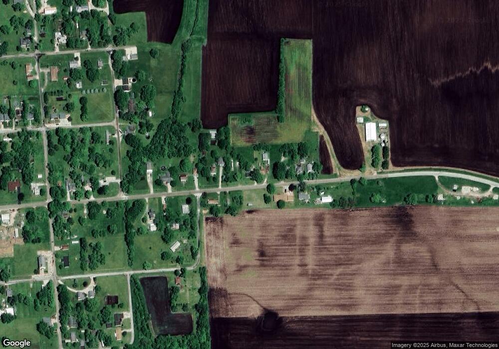
Map
Nearby Homes
- 203 E Chestnut St
- 107 N Front St
- 947 N 2nd Rd
- 4 Prairie View
- 0000 E 6th Rd
- 307 S Hickory St
- 722 E Bennington St
- 0 S Maple St
- 201 S Maple St
- 218 N Walnut St
- 303 N Walnut St
- 302 N Walnut St
- 0 S Oak St
- 319 S Main St
- 2 Circle Dr
- 000 County Road 2700 E
- 223 N Linden St
- 408 N Olive St
- 313 W Topeka St
- 418 W Santa fe Ave
- 406 E Broad St
- 405 E Broad St
- 101 Rowland St
- 410 E Broad St
- 400 E Broad St
- 411 E Broad St
- 412 E Broad St
- 308 E Broad St
- 309 E Broad St
- 306 E Broad St
- 307 E Broad St
- 305 E Broad St
- 110 Rowland St
- 303 E Broad St
- 111 N School St
- 201 N School St
- 208 E Broad St
- 209 E Chestnut St
- 207 E Broad St
- 505 E Broad St