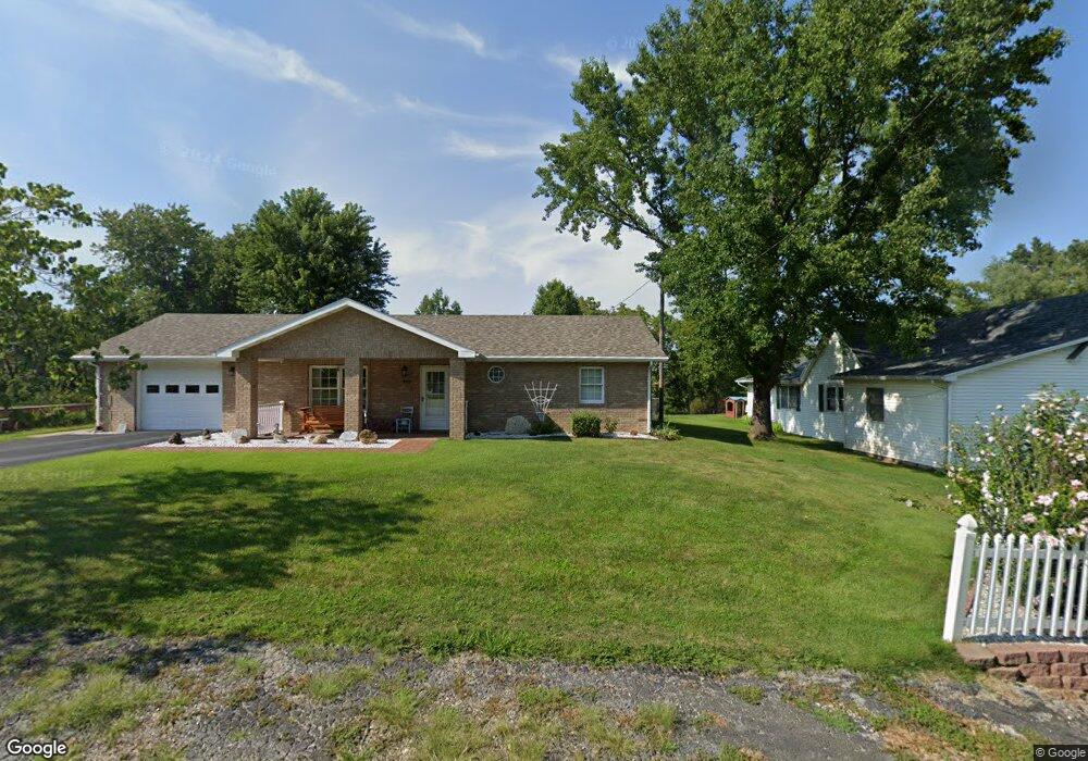
404 Jasper St Frankford, MO 63441
Estimated Value: $86,000 - $184,263
2
Beds
4
Baths
1,161
Sq Ft
$100/Sq Ft
Est. Value
About This Home
This home is located at 404 Jasper St, Frankford, MO 63441 and is currently estimated at $116,066, approximately $99 per square foot. 404 Jasper St is a home with nearby schools including Bowling Green High School.
Ownership History
Date
Name
Owned For
Owner Type
Purchase Details
Closed on
Jul 9, 2025
Sold by
Snell Charles Wayne and Snell Marcia Jean
Bought by
Mcmillen Bradley Wayne
Current Estimated Value
Home Financials for this Owner
Home Financials are based on the most recent Mortgage that was taken out on this home.
Original Mortgage
$120,000
Outstanding Balance
$118,360
Interest Rate
6.89%
Mortgage Type
Credit Line Revolving
Estimated Equity
-$2,294
Purchase Details
Closed on
Sep 20, 2017
Sold by
Benn Gary Wayne
Bought by
Snell Charles Wayne and Snell Linda Josephine
Create a Home Valuation Report for This Property
The Home Valuation Report is an in-depth analysis detailing your home's value as well as a comparison with similar homes in the area
Purchase History
| Date | Buyer | Sale Price | Title Company |
|---|---|---|---|
| Mcmillen Bradley Wayne | -- | None Listed On Document | |
| Mcmillen Bradley Wayne | -- | None Listed On Document | |
| Snell Charles Wayne | -- | None Available |
Source: Public Records
Mortgage History
| Date | Status | Borrower | Loan Amount |
|---|---|---|---|
| Open | Mcmillen Bradley Wayne | $120,000 | |
| Closed | Mcmillen Bradley Wayne | $120,000 |
Source: Public Records
Tax History
| Year | Tax Paid | Tax Assessment Tax Assessment Total Assessment is a certain percentage of the fair market value that is determined by local assessors to be the total taxable value of land and additions on the property. | Land | Improvement |
|---|---|---|---|---|
| 2025 | $1,045 | $16,290 | $1,160 | $15,130 |
| 2024 | $854 | $16,290 | $1,160 | $15,130 |
| 2023 | $854 | $16,290 | $1,160 | $15,130 |
| 2022 | $798 | $15,340 | $1,030 | $14,310 |
| 2021 | $793 | $15,340 | $1,030 | $14,310 |
| 2020 | $797 | $15,340 | $1,030 | $14,310 |
| 2019 | $795 | $15,340 | $1,030 | $14,310 |
| 2018 | $715 | $15,340 | $1,030 | $14,310 |
| 2017 | $659 | $14,220 | $1,030 | $13,190 |
| 2016 | $643 | $14,220 | $1,030 | $13,190 |
| 2015 | -- | $14,220 | $1,030 | $13,190 |
| 2011 | -- | $14,220 | $1,030 | $13,190 |
Source: Public Records
Map
Nearby Homes
- 122 Main St
- 121 S Low St
- 123 Bluff St
- 121 Park Ave
- 00 Missouri B
- 00 Pike 58
- 0 Pike 107
- 11302 Pike 107
- 0 Pike 49 (12+ - Acres)
- 0 Hwy 61 West Outer Rd Unit MIS25075454
- 305 E 2nd St
- 0 Hwy 79 Unit MAR25020996
- 14144 Highway E
- 0000
- 56900 Patriot Ln
- 79 State Hwy
- 4015 Pike 9140
- 1175 Pike 41
- 2601 Pike 25
- 16.5 Ac m/l Highway M
Your Personal Tour Guide
Ask me questions while you tour the home.