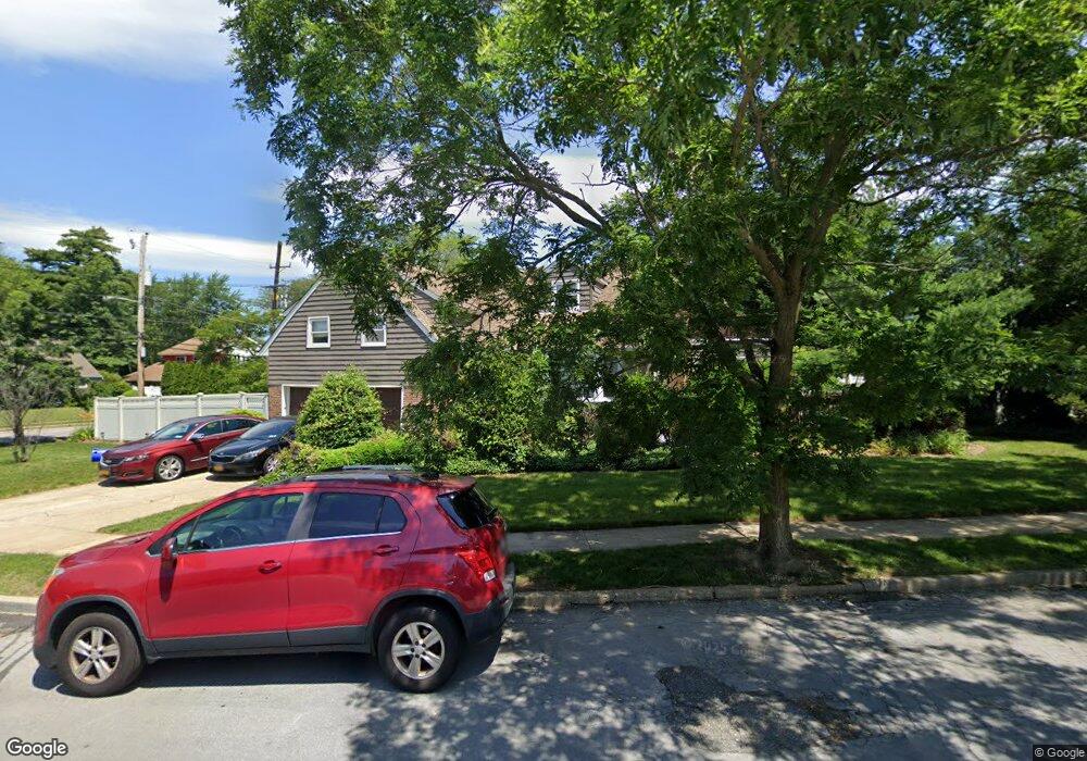
404 Maryland Ave Freeport, NY 11520
Estimated Value: $623,869 - $661,000
--
Bed
3
Baths
1,879
Sq Ft
$342/Sq Ft
Est. Value
About This Home
This home is located at 404 Maryland Ave, Freeport, NY 11520 and is currently estimated at $642,435, approximately $341 per square foot. 404 Maryland Ave is a home located in Nassau County with nearby schools including Baldwin Senior High School and Roosevelt Children's Academy.
Ownership History
Date
Name
Owned For
Owner Type
Purchase Details
Closed on
May 5, 2025
Sold by
Williams Jeffrey and Williams Kuwata
Bought by
Williams Kuwata
Current Estimated Value
Home Financials for this Owner
Home Financials are based on the most recent Mortgage that was taken out on this home.
Original Mortgage
$130,000
Outstanding Balance
$129,537
Interest Rate
6.62%
Mortgage Type
New Conventional
Estimated Equity
$512,898
Purchase Details
Closed on
Jan 16, 2003
Sold by
Rubens James
Bought by
Williams Jeffrey
Create a Home Valuation Report for This Property
The Home Valuation Report is an in-depth analysis detailing your home's value as well as a comparison with similar homes in the area
Home Values in the Area
Average Home Value in this Area
Purchase History
| Date | Buyer | Sale Price | Title Company |
|---|---|---|---|
| Williams Kuwata | $75,471 | Freedom Abstract | |
| Williams Jeffrey | $380,000 | -- | |
| Williams Jeffrey | $380,000 | -- |
Source: Public Records
Mortgage History
| Date | Status | Borrower | Loan Amount |
|---|---|---|---|
| Open | Williams Kuwata | $130,000 |
Source: Public Records
Tax History Compared to Growth
Tax History
| Year | Tax Paid | Tax Assessment Tax Assessment Total Assessment is a certain percentage of the fair market value that is determined by local assessors to be the total taxable value of land and additions on the property. | Land | Improvement |
|---|---|---|---|---|
| 2025 | $11,287 | $496 | $153 | $343 |
| 2024 | $261 | $496 | $153 | $343 |
| 2023 | $272 | $496 | $153 | $343 |
| 2022 | $272 | $496 | $153 | $343 |
| 2021 | $248 | $482 | $149 | $333 |
| 2020 | $298 | $695 | $359 | $336 |
| 2019 | $203 | $835 | $431 | $404 |
| 2018 | $297 | $835 | $0 | $0 |
| 2017 | $0 | $835 | $431 | $404 |
| 2016 | $231 | $835 | $431 | $404 |
| 2015 | $162 | $835 | $431 | $404 |
| 2014 | $162 | $835 | $431 | $404 |
| 2013 | $176 | $835 | $431 | $404 |
Source: Public Records
Map
Nearby Homes
- 396 Maryland Ave
- 319 Maryland Ave
- 1014 Kings Pkwy
- 156 Brookside Ave
- 1515 Paul St
- 3 Maple Dr
- 915 Wallace Ave
- 174 Delaware Ave
- 187 Moore Ave
- 1459 Prince St
- 1009 Centennial Ave
- 1476 Kingston Ave
- 1 Willowbrook Ln
- 242 W Centennial Ave
- 152 Evans Ave
- 154 California Ave
- 1426 Forest Ave
- 7 Mayfair Rd
- 1020 Henhawk Rd
- 1535 Mattison St
- 502 N Brookside Ave
- 399 Maryland Ave
- 391 Maryland Ave
- 504 N Brookside Ave
- 432 Maryland Ave
- 500 N Brookside Ave
- 385 Maryland Ave
- 497 N Brookside Ave
- 304 Prince Ave
- 511 N Brookside Ave
- 506 N Brookside Ave
- 505 N Brookside Ave
- 493 N Brookside Ave
- 294 Prince Ave
- 381 Maryland Ave
- 312 Prince Ave
- 523 N Brookside Ave
- 510 N Brookside Ave
- 369 Maryland Ave
- 286 Prince Ave