404 N 2020 W Hurricane, UT 84737
Estimated Value: $596,000 - $810,000
4
Beds
4
Baths
2,683
Sq Ft
$267/Sq Ft
Est. Value
About This Home
This home is located at 404 N 2020 W, Hurricane, UT 84737 and is currently estimated at $716,952, approximately $267 per square foot. 404 N 2020 W is a home located in Washington County with nearby schools including Hurricane Elementary School, Hurricane High School, and Hurricane Middle School.
Ownership History
Date
Name
Owned For
Owner Type
Purchase Details
Closed on
Sep 3, 2020
Sold by
Walker Todd A and Walker Shauna S
Bought by
Barrand Mark
Current Estimated Value
Home Financials for this Owner
Home Financials are based on the most recent Mortgage that was taken out on this home.
Original Mortgage
$432,000
Outstanding Balance
$383,371
Interest Rate
2.9%
Mortgage Type
New Conventional
Estimated Equity
$333,581
Purchase Details
Closed on
May 17, 2019
Sold by
Walker Todd Adams and Walker Shauna Shumway
Bought by
Zion Abode Llc
Purchase Details
Closed on
Jul 26, 2018
Sold by
Zion Village Resort Llc
Bought by
Walker Todd A and Walker Shauna S
Home Financials for this Owner
Home Financials are based on the most recent Mortgage that was taken out on this home.
Original Mortgage
$351,776
Interest Rate
4.6%
Mortgage Type
New Conventional
Create a Home Valuation Report for This Property
The Home Valuation Report is an in-depth analysis detailing your home's value as well as a comparison with similar homes in the area
Home Values in the Area
Average Home Value in this Area
Purchase History
| Date | Buyer | Sale Price | Title Company |
|---|---|---|---|
| Barrand Mark | -- | Vanguard Title Insurance Age | |
| Zion Abode Llc | -- | None Available | |
| Walker Todd A | -- | Vanguard Title Ins Agency Ll |
Source: Public Records
Mortgage History
| Date | Status | Borrower | Loan Amount |
|---|---|---|---|
| Open | Barrand Mark | $432,000 | |
| Previous Owner | Walker Todd A | $351,776 |
Source: Public Records
Tax History Compared to Growth
Tax History
| Year | Tax Paid | Tax Assessment Tax Assessment Total Assessment is a certain percentage of the fair market value that is determined by local assessors to be the total taxable value of land and additions on the property. | Land | Improvement |
|---|---|---|---|---|
| 2021 | $5,007 | $511,900 | $90,000 | $421,900 |
| 2020 | $4,832 | $461,700 | $90,000 | $371,700 |
| 2019 | $5,104 | $473,100 | $90,000 | $383,100 |
| 2018 | $1,038 | $90,000 | $0 | $0 |
| 2017 | $0 | $0 | $0 | $0 |
Source: Public Records
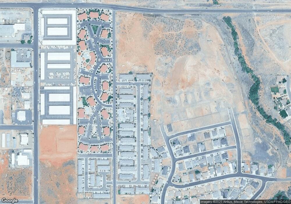
Map
Nearby Homes
- 355 N 2020 W
- 328 N 2020 W
- 357 N Firerock Way Unit 100
- 357 N Firerock Way
- 320 N 2020 W
- Slickrock (Slab) Plan at Fire Rock
- Sydney (Walkout) Plan at Fire Rock
- Providence (Slab) Plan at Fire Rock
- Sydney (Slab) Plan at Fire Rock
- Oasis (Slab) Plan at Fire Rock
- Oakley (Walkout) Plan at Fire Rock
- Oakley (Slab) Plan at Fire Rock
- Harmony (Walkout) Plan at Fire Rock
- Providence (Walkout) Plan at Fire Rock
- 362 Firerock Way
- 315 N Firerock Way
- 271 N 2020 W
- 299 Firerock Way
- 275 N 2020 W
- 266 N 2020 W Unit 74
- 404 N 2020 W Unit 13
- 269 S 2020 W Unit 49
- 321 N 2020 W Unit 38
- 426 N 2020 W
- State Rt 9 4 77 Acres
- 391 N 2020 W
- 391 N 2020 W Unit 17
- 372 N 2020 W
- 372 N 2020 W Unit 89
- 411 N Nicole Way
- 2065 W 440 N Unit 25
- 411 N 2020 W
- 2065 N 100 W Unit 25
- 399 N 2020 W
- 362 N 2020 W
- 362 N 2020 W Unit 88
- 362 N 2020 W Unit 80
- 2101 W 440 N
- 2101 N 100 W
- 2101 W 440