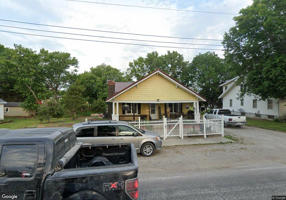
404 N Locust St Jamesport, MO 64648
Estimated Value: $66,000 - $176,000
2
Beds
1
Bath
1,606
Sq Ft
$74/Sq Ft
Est. Value
About This Home
This home is located at 404 N Locust St, Jamesport, MO 64648 and is currently estimated at $119,488, approximately $74 per square foot. 404 N Locust St is a home located in Daviess County with nearby schools including Tri-County Elementary School, Tri-County High School, and Pleasant Hill.
Ownership History
Date
Name
Owned For
Owner Type
Purchase Details
Closed on
Jul 8, 2022
Sold by
Hewitt Barbara G
Bought by
Kaufman Edwin C and Kaufman Ella Marie
Current Estimated Value
Purchase Details
Closed on
Dec 10, 2020
Sold by
Peery and Joyce
Bought by
Hewitt Barbara G
Home Financials for this Owner
Home Financials are based on the most recent Mortgage that was taken out on this home.
Original Mortgage
$55,000
Interest Rate
2.9%
Mortgage Type
New Conventional
Purchase Details
Closed on
Nov 26, 2013
Sold by
Chatfield Kenneth J and Chatfield Marla Kay
Bought by
Peery Stanley and Peery Joyce
Purchase Details
Closed on
Jul 16, 2007
Sold by
Harris Delvin L and Harris Ilah M
Bought by
Chatfield Marla Kay and Chatfield Kenneth J
Create a Home Valuation Report for This Property
The Home Valuation Report is an in-depth analysis detailing your home's value as well as a comparison with similar homes in the area
Home Values in the Area
Average Home Value in this Area
Purchase History
| Date | Buyer | Sale Price | Title Company |
|---|---|---|---|
| Kaufman Edwin C | -- | None Listed On Document | |
| Hewitt Barbara G | -- | Grand River Title | |
| Peery Stanley | -- | -- | |
| Chatfield Marla Kay | -- | -- |
Source: Public Records
Mortgage History
| Date | Status | Borrower | Loan Amount |
|---|---|---|---|
| Previous Owner | Hewitt Barbara G | $55,000 |
Source: Public Records
Tax History Compared to Growth
Tax History
| Year | Tax Paid | Tax Assessment Tax Assessment Total Assessment is a certain percentage of the fair market value that is determined by local assessors to be the total taxable value of land and additions on the property. | Land | Improvement |
|---|---|---|---|---|
| 2024 | $612 | $8,018 | $477 | $7,541 |
| 2023 | $520 | $6,905 | $477 | $6,428 |
| 2022 | $519 | $6,905 | $477 | $6,428 |
| 2021 | $499 | $6,905 | $477 | $6,428 |
| 2020 | $499 | $6,707 | $477 | $6,230 |
| 2019 | $487 | $6,707 | $477 | $6,230 |
| 2018 | $482 | $6,707 | $477 | $6,230 |
| 2017 | $461 | $6,707 | $477 | $6,230 |
| 2016 | -- | $6,707 | $477 | $6,230 |
| 2011 | -- | $6,327 | $0 | $0 |
Source: Public Records
Map
Nearby Homes
- 106 E Main St
- 204 W Charles St
- 110 Kentucky
- 704 S Broadway N A
- 801 W Edmond St
- 0000 July Ave
- 24001 Nickel Ave
- TBD State Road V
- 3144 Highway A
- TBD State Highway V
- 24984 P Hwy
- 0 Quartz and Elm St Unit HMS2584347
- 0 250th St
- 22681 Missouri 13
- 250th St
- 0 SW 52nd Ave
- 0 SW 52nd Ave Unit Lot WP004 24524850
- 18680 State Road Uu
- 0 SW 30th Ave
- 8518 LIV 503
- 406 N Locust St
- 402 N Locust St
- 403 N Locust St
- 405 N Locust St
- 407 N Locust St
- 409 N Grant St
- 502 S Grant St
- 308 N Locust St
- 500 N Locust St
- 309 N Locust St
- 307 N Grant St
- 409 N Locust St
- 307 N Locust St
- 305 N Locust St
- 501 N Grant St
- 300 N Locust St
- 304 N Grant St
- 502 N Grant St
- 301 N Locust St
- 506 N Locust St