Estimated Value: $258,000 - $302,000
3
Beds
2
Baths
1,774
Sq Ft
$159/Sq Ft
Est. Value
About This Home
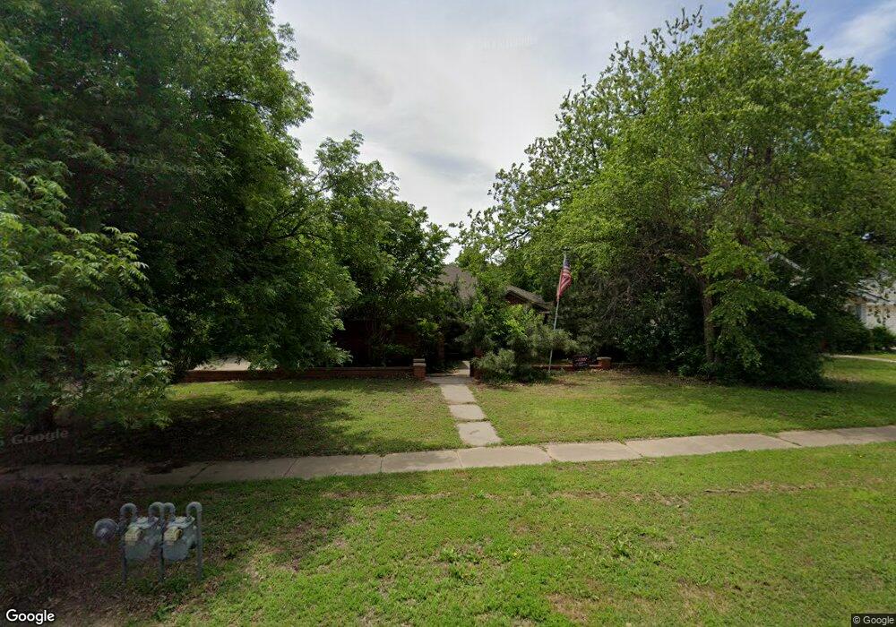
This home is located at 404 Poplar Ave, Yukon, OK 73099 and is currently estimated at $281,245, approximately $158 per square foot. 404 Poplar Ave is a home located in Canadian County with nearby schools including Central Elementary School, Independence Elementary School, and Yukon Middle School.
Ownership History
Date
Name
Owned For
Owner Type
Purchase Details
Closed on
Sep 30, 2015
Sold by
Solenberg John E
Bought by
Baker Christopher Michael
Current Estimated Value
Home Financials for this Owner
Home Financials are based on the most recent Mortgage that was taken out on this home.
Original Mortgage
$209,900
Outstanding Balance
$163,839
Interest Rate
3.97%
Estimated Equity
$117,406
Purchase Details
Closed on
Jun 23, 2008
Sold by
Stone Richard Morton and Stone Barbara L
Bought by
Solenberg John E
Home Financials for this Owner
Home Financials are based on the most recent Mortgage that was taken out on this home.
Original Mortgage
$179,638
Interest Rate
5.99%
Purchase Details
Closed on
Oct 17, 1994
Sold by
Stone Dick M and Barbara M*
Purchase Details
Closed on
Sep 22, 1983
Sold by
H & M Development Inc
Create a Home Valuation Report for This Property
The Home Valuation Report is an in-depth analysis detailing your home's value as well as a comparison with similar homes in the area
Home Values in the Area
Average Home Value in this Area
Purchase History
| Date | Buyer | Sale Price | Title Company |
|---|---|---|---|
| Baker Christopher Michael | $210,000 | First American Title | |
| Solenberg John E | $174,000 | Agt | |
| -- | -- | -- | |
| -- | -- | -- |
Source: Public Records
Mortgage History
| Date | Status | Borrower | Loan Amount |
|---|---|---|---|
| Open | Baker Christopher Michael | $209,900 | |
| Previous Owner | Solenberg John E | $179,638 |
Source: Public Records
Tax History
| Year | Tax Paid | Tax Assessment Tax Assessment Total Assessment is a certain percentage of the fair market value that is determined by local assessors to be the total taxable value of land and additions on the property. | Land | Improvement |
|---|---|---|---|---|
| 2025 | $2,330 | $23,313 | $4,391 | $18,922 |
| 2024 | $2,272 | $22,634 | $4,263 | $18,371 |
| 2023 | $2,272 | $21,975 | $4,019 | $17,956 |
| 2022 | $2,213 | $21,335 | $4,019 | $17,316 |
| 2021 | $2,220 | $21,335 | $4,019 | $17,316 |
| 2020 | $2,216 | $21,550 | $4,019 | $17,531 |
| 2019 | $2,208 | $21,411 | $4,019 | $17,392 |
| 2018 | $2,147 | $20,788 | $4,019 | $16,769 |
| 2017 | $2,136 | $20,687 | $4,019 | $16,668 |
| 2016 | $2,103 | $20,366 | $4,019 | $16,347 |
| 2015 | $2,091 | $19,436 | $4,019 | $15,417 |
| 2014 | $2,091 | $19,973 | $4,019 | $15,954 |
Source: Public Records
Map
Nearby Homes
- 10516 NW 33rd Place
- 509 Turtle Creek Dr
- 401 Walnut Ave
- 402 Yukon Ave
- 702 Kouba Dr
- 601 S 8th St
- 428 S 8th St
- 703 S 3rd St
- 621 Kingston Dr
- 616 Kingston Dr
- 103 Pine Ave
- 101 Pine Ave
- 621 Cherry Ave
- 11036 NW 20th St
- 11017 NW 20th St
- 11032 NW 20th Terrace
- 510 W Bass Ave
- 12101 Birch Ave
- 12105 Birch Ave
- 12205 Birch Ave
Your Personal Tour Guide
Ask me questions while you tour the home.