404 Radio Tower Rd Locust Grove, AR 72550
Estimated Value: $144,429 - $342,000
--
Bed
2
Baths
1,732
Sq Ft
$138/Sq Ft
Est. Value
About This Home
This home is located at 404 Radio Tower Rd, Locust Grove, AR 72550 and is currently estimated at $239,143, approximately $138 per square foot. 404 Radio Tower Rd is a home located in Cleburne County with nearby schools including Concord Elementary School and Concord High School.
Ownership History
Date
Name
Owned For
Owner Type
Purchase Details
Closed on
Mar 9, 2021
Sold by
Stone Bank
Bought by
Alsamari Adnan and Carswell Sarah C
Current Estimated Value
Home Financials for this Owner
Home Financials are based on the most recent Mortgage that was taken out on this home.
Original Mortgage
$206,000
Outstanding Balance
$176,615
Interest Rate
2.7%
Mortgage Type
Future Advance Clause Open End Mortgage
Estimated Equity
$62,528
Purchase Details
Closed on
Nov 14, 2019
Sold by
Commissioner Of State Lands
Bought by
Lankford Henry C and Lankford Carol L
Purchase Details
Closed on
May 28, 2010
Bought by
State Of Ar and %Smithville Farm Corp
Purchase Details
Closed on
Jun 27, 2001
Bought by
Casady Charlotte
Purchase Details
Closed on
Apr 8, 1994
Bought by
Kerlin David L and Kerlin Regina K
Create a Home Valuation Report for This Property
The Home Valuation Report is an in-depth analysis detailing your home's value as well as a comparison with similar homes in the area
Home Values in the Area
Average Home Value in this Area
Purchase History
| Date | Buyer | Sale Price | Title Company |
|---|---|---|---|
| Alsamari Adnan | $243,000 | None Listed On Document | |
| Lankford Henry C | $1,299 | None Available | |
| State Of Ar | $67,000 | -- | |
| Casady Charlotte | $20,000 | -- | |
| Kerlin David L | $15,000 | -- |
Source: Public Records
Mortgage History
| Date | Status | Borrower | Loan Amount |
|---|---|---|---|
| Open | Alsamari Adnan | $206,000 |
Source: Public Records
Tax History Compared to Growth
Tax History
| Year | Tax Paid | Tax Assessment Tax Assessment Total Assessment is a certain percentage of the fair market value that is determined by local assessors to be the total taxable value of land and additions on the property. | Land | Improvement |
|---|---|---|---|---|
| 2025 | $188 | $24,589 | $1,203 | $23,386 |
| 2024 | $251 | $17,185 | $1,195 | $15,990 |
| 2023 | $292 | $17,185 | $1,195 | $15,990 |
| 2022 | $342 | $17,185 | $1,195 | $15,990 |
| 2021 | $696 | $16,697 | $786 | $15,911 |
| 2020 | $321 | $16,697 | $786 | $15,911 |
| 2019 | $321 | $16,697 | $786 | $15,911 |
| 2018 | $346 | $16,697 | $786 | $15,911 |
| 2017 | $345 | $16,697 | $786 | $15,911 |
| 2016 | $694 | $16,652 | $741 | $15,911 |
| 2015 | $694 | $16,652 | $741 | $15,911 |
| 2014 | $694 | $16,652 | $741 | $15,911 |
Source: Public Records
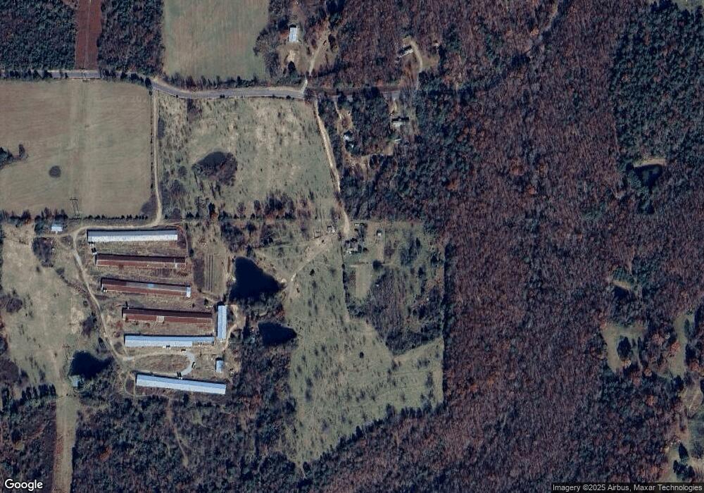
Map
Nearby Homes
- 00 Cooper Rd
- 0 Deer Valley Rd
- 0 Country Oaks Rd Unit 25047213
- 3011 and 2981 Jamestown Loop
- 989 N Bayou Rd
- 0 Morrison Rd Unit 25000640
- 0 Morrison Rd Unit 22320525
- 550 Pine Grove Rd
- 116 Jeffery Cutoff
- 0 Heber Springs Rd
- 2540 Jamestown Lp
- 2540 Jamestown Loop
- 155 Lower Yorktown Dr
- 155 Lower Yorktown Rd
- 480 Galens Dr
- 480 Galen's Dr
- Lots 27/28 Lower Yorktown Dr
- Lots 27 & 28 Lower Yorktown Dr
- 64 Lock 2 Rd
- 1867 Locust Grove Rd
- 459 Radio Tower Rd
- 399 Radio Tower Rd
- 000 Radio Tower Rd
- 0 Radio Tower Rd
- 234 Cartwright Rd
- 160 Radio Tower Rd
- 0 Cartwright Rd Unit 20002274
- 0 Cartwright Rd Unit 18-52
- 0 Cartwright Rd Unit 19-15
- 0 Cartwright Rd
- 5 Cartwright Rd
- 49 Radio Tower Rd
- 12322 Heber Springs Rd
- 12356 Heber Springs Rd
- 12350 Heber Springs Rd
- 699 Radio Tower Rd
- 59 Radio Tower Rd
- 744 Radio Tower Rd
- 130 Radio Tower Rd
- 15 Double F Rd