Estimated Value: $127,000 - $208,000
3
Beds
1
Bath
1,400
Sq Ft
$120/Sq Ft
Est. Value
About This Home
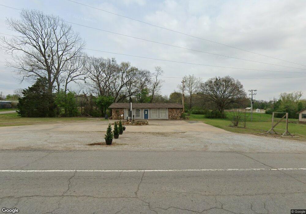
This home is located at 404 S Thornton St, Vian, OK 74962 and is currently estimated at $167,500, approximately $119 per square foot. 404 S Thornton St is a home with nearby schools including Vian Elementary School, Vian Middle School, and Vian High School.
Ownership History
Date
Name
Owned For
Owner Type
Purchase Details
Closed on
Sep 5, 2023
Sold by
Mccreight Barbara Lou and Mccreight Tommy
Bought by
Benson Craig A and Benson Susan B
Current Estimated Value
Purchase Details
Closed on
Apr 6, 1994
Sold by
Holder Leon and Holder Margarine
Bought by
Holder Gordon and Holder Barbara
Create a Home Valuation Report for This Property
The Home Valuation Report is an in-depth analysis detailing your home's value as well as a comparison with similar homes in the area
Home Values in the Area
Average Home Value in this Area
Purchase History
| Date | Buyer | Sale Price | Title Company |
|---|---|---|---|
| Benson Craig A | -- | None Listed On Document | |
| Holder Gordon | -- | -- | |
| Holder Gordon | -- | None Available |
Source: Public Records
Tax History Compared to Growth
Tax History
| Year | Tax Paid | Tax Assessment Tax Assessment Total Assessment is a certain percentage of the fair market value that is determined by local assessors to be the total taxable value of land and additions on the property. | Land | Improvement |
|---|---|---|---|---|
| 2025 | $499 | $5,128 | $2,296 | $2,832 |
| 2024 | $499 | $5,370 | $2,296 | $3,074 |
| 2023 | $517 | $3,474 | $659 | $2,815 |
| 2022 | $321 | $3,309 | $601 | $2,708 |
| 2021 | $302 | $3,309 | $601 | $2,708 |
| 2020 | $299 | $3,001 | $492 | $2,509 |
| 2019 | $286 | $2,859 | $442 | $2,417 |
| 2018 | $245 | $2,722 | $421 | $2,301 |
| 2017 | $236 | $2,593 | $401 | $2,192 |
| 2016 | $225 | $2,470 | $382 | $2,088 |
| 2015 | $216 | $2,352 | $364 | $1,988 |
| 2014 | $208 | $2,240 | $346 | $1,894 |
Source: Public Records
Map
Nearby Homes
- 300 Blackstone St
- 304 Blackstone St
- 000 Schley St
- 108 S Thornton St
- 613 S Rodgers St
- 503 Bonham St
- 109 W Lee St
- 505 Avalon Dr
- 510 Beverly Ave
- 448159 E 979 Rd
- 601 E Schley St
- 802 Schley St
- 457848 E 1013 Rd
- TBD E 1055 Rd
- 607 E Schley St
- 54 N Rodgers St
- Lot 13 Jamatt Dr
- Lot 23 Blake Cir
- TBD Tract 32 E 958 Rd
- Lot 16 Jamatt Dr
- 101 Mayfield St
- 307 N Thornton St
- 107 S Mayfield St
- 0 Hunter St Unit 1817996
- 0 Hunter St Unit 1906405
- 0 Hunter St Unit 1930884
- 31 Sanders St
- 822 Rr 2
- 822 Rr 2
- 610 S Thornton St
- 610 Thornton St
- 203 W Hunter
- 0 S Thornton St Unit 1726116
- 0 S Thornton St Unit 1742365
- 0 S Thornton St Unit 1811495
- 207 E Sanders
- 2-3 Rr 2
- 2-3 Rr 2
- 105823 Sanders St
- 105825 Sanders St