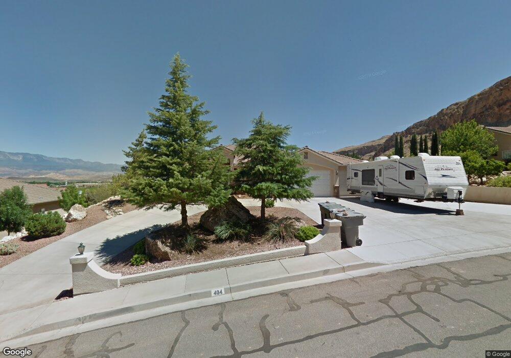
404 W 2050 S Hurricane, UT 84737
Estimated Value: $582,000 - $615,000
3
Beds
2
Baths
2,018
Sq Ft
$297/Sq Ft
Est. Value
About This Home
This home is located at 404 W 2050 S, Hurricane, UT 84737 and is currently estimated at $600,345, approximately $297 per square foot. 404 W 2050 S is a home located in Washington County with nearby schools including Hurricane Intermediate School, Three Falls School, and Hurricane High School.
Ownership History
Date
Name
Owned For
Owner Type
Purchase Details
Closed on
Aug 27, 2020
Sold by
Davis Ronald M and Davis Charlene
Bought by
Davis Ronald M and Davis Charlene K
Current Estimated Value
Purchase Details
Closed on
Sep 27, 2019
Sold by
Steadman Dorothy A
Bought by
Davis Ronald M and Davis Charlene
Purchase Details
Closed on
May 30, 2019
Sold by
Hadley Wayne F and Hadley Mavis F
Bought by
Steadman Roland M and Steadman Dorothy A
Purchase Details
Closed on
May 29, 2013
Sold by
Hadley Wayne and Hadley Mavis
Bought by
Hadley Wayne F and Hadley Mavis F
Home Financials for this Owner
Home Financials are based on the most recent Mortgage that was taken out on this home.
Original Mortgage
$181,600
Interest Rate
3.38%
Mortgage Type
New Conventional
Purchase Details
Closed on
Feb 6, 2008
Sold by
Larsen Bobetta D
Bought by
Larsen Bobetta
Create a Home Valuation Report for This Property
The Home Valuation Report is an in-depth analysis detailing your home's value as well as a comparison with similar homes in the area
Home Values in the Area
Average Home Value in this Area
Purchase History
| Date | Buyer | Sale Price | Title Company |
|---|---|---|---|
| Davis Ronald M | -- | None Available | |
| Davis Ronald M | -- | Title One | |
| Steadman Roland M | -- | First Amer St George Main | |
| Hadley Wayne F | -- | First American Title Company | |
| Hadley Wayne | -- | Southern Utah Title | |
| Larsen Bobetta | -- | None Available |
Source: Public Records
Mortgage History
| Date | Status | Borrower | Loan Amount |
|---|---|---|---|
| Previous Owner | Hadley Wayne | $181,600 |
Source: Public Records
Tax History Compared to Growth
Tax History
| Year | Tax Paid | Tax Assessment Tax Assessment Total Assessment is a certain percentage of the fair market value that is determined by local assessors to be the total taxable value of land and additions on the property. | Land | Improvement |
|---|---|---|---|---|
| 2025 | $2,337 | $329,560 | $107,250 | $222,310 |
| 2023 | $2,345 | $314,600 | $77,000 | $237,600 |
| 2022 | $2,221 | $279,290 | $66,000 | $213,290 |
| 2021 | $2,054 | $381,700 | $80,000 | $301,700 |
| 2020 | $2,012 | $349,500 | $70,000 | $279,500 |
| 2019 | $1,837 | $309,500 | $70,000 | $239,500 |
| 2018 | $1,647 | $137,280 | $0 | $0 |
| 2017 | $1,536 | $128,040 | $0 | $0 |
| 2016 | $1,568 | $126,665 | $0 | $0 |
| 2015 | $1,517 | $117,975 | $0 | $0 |
| 2014 | $1,427 | $115,500 | $0 | $0 |
Source: Public Records
Map
Nearby Homes
- 2023 S 540 W
- 2023 Angel Heights Dr
- 2023 S Angell Heights Dr
- 2023 Angell Heights Dr
- 390 W 2050 S
- 393 W 1970 S
- 479 W 2050 S
- 1988 Angell Heights
- 1988 Angell Heights
- 550 W 2050 S
- 353 W 2050 S
- 337 W 1970 S Unit 1854
- 334 W 2050 S
- 398 W 1970 S
- 2010 S Angell Heights Dr
- 1988 S Angell Heights Dr
- 2010 Angel Heights Dr
- 2010 Angell Heights
- 551 W 2050 S
- 480 W 2080 S