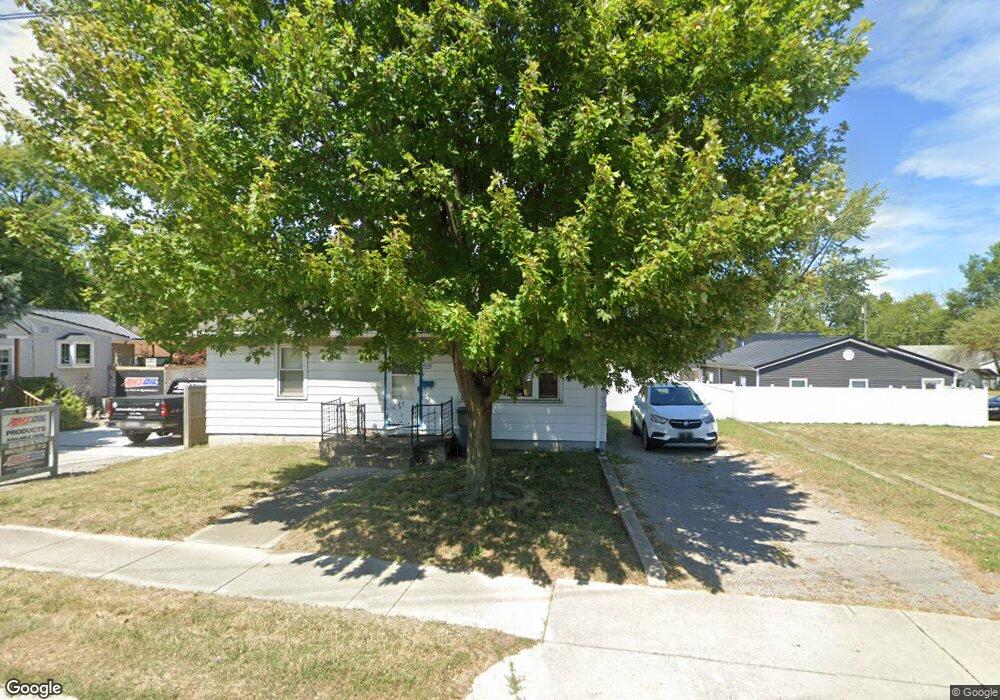
404 W Robb Ave Lima, OH 45801
Northside Lima NeighborhoodEstimated Value: $80,910 - $144,000
2
Beds
1
Bath
884
Sq Ft
$114/Sq Ft
Est. Value
About This Home
This home is located at 404 W Robb Ave, Lima, OH 45801 and is currently estimated at $100,728, approximately $113 per square foot. 404 W Robb Ave is a home located in Allen County with nearby schools including Independence Elementary School, Lima North Middle School, and Lima West Middle School.
Ownership History
Date
Name
Owned For
Owner Type
Purchase Details
Closed on
Oct 2, 2020
Sold by
Scheer Catherine D
Bought by
Croft Joseph and Herr Nicole
Current Estimated Value
Purchase Details
Closed on
Sep 28, 1990
Bought by
Scheer Catherine D
Create a Home Valuation Report for This Property
The Home Valuation Report is an in-depth analysis detailing your home's value as well as a comparison with similar homes in the area
Home Values in the Area
Average Home Value in this Area
Purchase History
| Date | Buyer | Sale Price | Title Company |
|---|---|---|---|
| Croft Joseph | $2,000 | None Available | |
| Croft Joseph | -- | Antalis Gregory M | |
| Scheer Catherine D | $32,500 | -- |
Source: Public Records
Tax History
| Year | Tax Paid | Tax Assessment Tax Assessment Total Assessment is a certain percentage of the fair market value that is determined by local assessors to be the total taxable value of land and additions on the property. | Land | Improvement |
|---|---|---|---|---|
| 2024 | $507 | $22,470 | $2,870 | $19,600 |
| 2023 | $370 | $16,520 | $2,100 | $14,420 |
| 2022 | $380 | $16,520 | $2,100 | $14,420 |
| 2021 | $400 | $16,520 | $2,100 | $14,420 |
| 2020 | $409 | $15,890 | $2,870 | $13,020 |
| 2019 | $409 | $15,890 | $2,870 | $13,020 |
| 2018 | $1,166 | $15,890 | $2,870 | $13,020 |
| 2017 | $876 | $15,890 | $2,870 | $13,020 |
| 2016 | $834 | $15,890 | $2,870 | $13,020 |
| 2015 | $848 | $15,890 | $2,870 | $13,020 |
| 2014 | $848 | $16,070 | $2,770 | $13,300 |
| 2013 | $826 | $16,070 | $2,770 | $13,300 |
Source: Public Records
Map
Nearby Homes
- 1212 Virginia Ave
- 1889 N Metcalf St
- 608 W O'Connor Ave
- 1317 Virginia Ave
- 576 W Ashton Ave
- 645 W O'Connor Ave
- 207 W Lane Ave
- 557 W Ashton Ave
- 1021 N McDonel St
- 760 W O'Connor Ave
- 406 Ewing Ave
- 316 Ewing Ave
- 1435 N Central Ave
- 919 N Main St
- 1705 Karen St
- 934 N Metcalf St
- 735 N Elizabeth St
- 745 Ewing Ave
- 435 Marian Ave
- 416 Hazel Ave
- 1201 N McDonel St
- 420 W Robb Ave
- 460 W Robb Ave
- 403 W Kildare Ave
- 401 W Kildare Ave
- 340 W Robb Ave
- 478 W Robb Ave
- 431 W Kildare Ave
- 399 W Kildare Ave
- 312 W Robb Ave
- 397 W Kildare Ave
- 467 W Kildare Ave
- 480 W Robb Ave
- 310 W Robb Ave
- 481 W Kildare Ave
- 329 W Kildare Ave
- 412 W Kildare Ave
- 1301 N McDonel St
- 414 W Kildare Ave
Your Personal Tour Guide
Ask me questions while you tour the home.