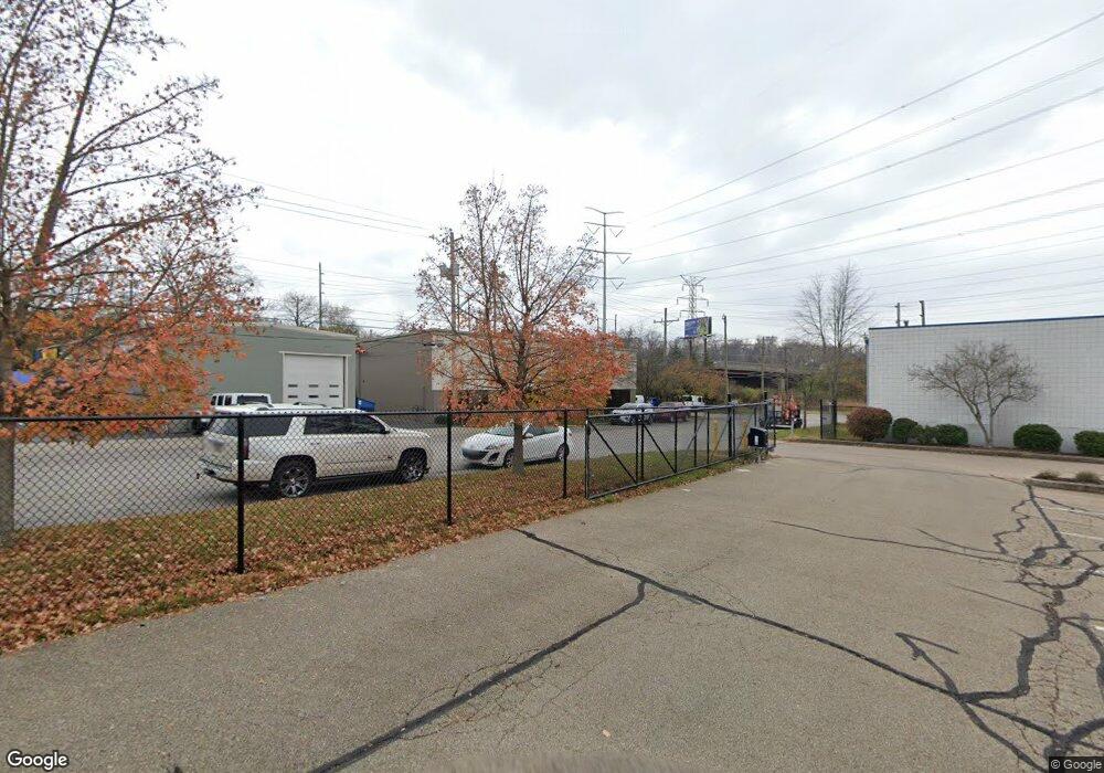
4040 Erie Ct Cincinnati, OH 45227
Madisonville Neighborhood
6
Beds
2
Baths
1,904
Sq Ft
4,225
Sq Ft Lot
About This Home
This home is located at 4040 Erie Ct, Cincinnati, OH 45227. 4040 Erie Ct is a home located in Hamilton County with nearby schools including Kilgour Elementary School, Shroder High School, and Clark Montessori High School.
Ownership History
Date
Name
Owned For
Owner Type
Purchase Details
Closed on
Oct 30, 2023
Sold by
Ohio Municipal Corporation
Bought by
Airecon Properties Llc
Purchase Details
Closed on
Aug 21, 1998
Sold by
Brown Rhonda D and Brown Ronald S
Bought by
City Of Cincinnati
Purchase Details
Closed on
Feb 6, 1996
Sold by
Link Nicholas and Miller David
Bought by
Brown Rhonda D and Brown Ronald S
Home Financials for this Owner
Home Financials are based on the most recent Mortgage that was taken out on this home.
Original Mortgage
$24,000
Interest Rate
7.11%
Create a Home Valuation Report for This Property
The Home Valuation Report is an in-depth analysis detailing your home's value as well as a comparison with similar homes in the area
Home Values in the Area
Average Home Value in this Area
Purchase History
| Date | Buyer | Sale Price | Title Company |
|---|---|---|---|
| Airecon Properties Llc | $1,750 | None Listed On Document | |
| City Of Cincinnati | -- | -- | |
| Brown Rhonda D | -- | -- |
Source: Public Records
Mortgage History
| Date | Status | Borrower | Loan Amount |
|---|---|---|---|
| Previous Owner | Brown Rhonda D | $24,000 |
Source: Public Records
Tax History Compared to Growth
Tax History
| Year | Tax Paid | Tax Assessment Tax Assessment Total Assessment is a certain percentage of the fair market value that is determined by local assessors to be the total taxable value of land and additions on the property. | Land | Improvement |
|---|---|---|---|---|
| 2023 | $0 | $812 | $812 | $0 |
| 2022 | $0 | $665 | $665 | $0 |
| 2021 | $0 | $665 | $665 | $0 |
| 2020 | $0 | $665 | $665 | $0 |
| 2019 | $9 | $665 | $665 | $0 |
| 2018 | $9 | $665 | $665 | $0 |
| 2017 | $8 | $665 | $665 | $0 |
| 2016 | $8 | $5,404 | $5,404 | $0 |
| 2015 | $8 | $5,404 | $5,404 | $0 |
| 2014 | $8 | $5,404 | $5,404 | $0 |
| 2013 | $8 | $5,404 | $5,404 | $0 |
Source: Public Records
Map
Nearby Homes
- 4479 Butterfield Place
- 4480 Butterfield Place
- 4335 Conant St
- 4496 Butterfield Place
- 4408 Erie Ave
- 5532 Dunning Place
- 5810 Arnsby Place
- 5811 Bramble Ave
- 5819 Bramble Ave
- 3655 Brotherton Rd
- 4400 Whetsel Ave
- 3643 Brotherton Rd
- 5919 Bramble Ave
- 3988 S Whetzel Ave
- 3636 Brotherton Rd
- 3986 S Whetzel Ave
- 6001 Bramble Ave
- 4112 Paxton Woods Dr
- 4929 Charlemar Dr
- 3713 Erie Ave
- 4031 Red Bank Rd
- 4025 Red Bank Rd
- 4209 Erie Ave
- 4209 Erie Ave
- 4129 La Crosse Ave
- 4021 Red Bank Rd
- 4137 La Crosse Ave
- 5505 Arnsby Place
- 3750 Broadview Dr
- 4007 La Crosse Ave
- 4239 Erie Ave
- 4107 La Crosse Ave
- 5513 Arnsby Place
- 4103 La Crosse Ave
- 4021 La Crosse Ave
- 4015 La Crosse Ave
- 4000 Red Bank Rd
- 5508 Arnsby Place
- 5508 Arnsby Place Unit 1
- 5517 Arnsby Place
