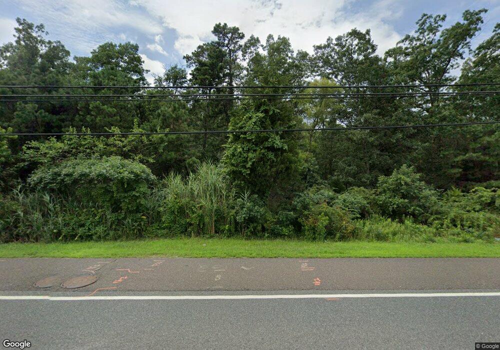
4044 Black Horse Pike Mays Landing, NJ 08330
--
Bed
--
Bath
--
Sq Ft
6.3
Acres
About This Home
This home is located at 4044 Black Horse Pike, Mays Landing, NJ 08330. 4044 Black Horse Pike is a home located in Atlantic County with nearby schools including George L. Hess Educational Complex, Joseph Shaner School, and William Davies Middle School.
Ownership History
Date
Name
Owned For
Owner Type
Purchase Details
Closed on
Feb 24, 2020
Sold by
1317 Associates Llc
Bought by
Department Of Transportation
Purchase Details
Closed on
Jan 1, 2005
Sold by
Guterman Cheryl
Bought by
1317 Associates Llc
Purchase Details
Closed on
Apr 1, 2003
Sold by
Alexander Acres
Bought by
Guterman Michael and Guterman Cheryl
Home Financials for this Owner
Home Financials are based on the most recent Mortgage that was taken out on this home.
Original Mortgage
$475,000
Interest Rate
5.88%
Mortgage Type
Seller Take Back
Create a Home Valuation Report for This Property
The Home Valuation Report is an in-depth analysis detailing your home's value as well as a comparison with similar homes in the area
Home Values in the Area
Average Home Value in this Area
Purchase History
| Date | Buyer | Sale Price | Title Company |
|---|---|---|---|
| Department Of Transportation | $5,800 | None Available | |
| 1317 Associates Llc | -- | -- | |
| Guterman Michael | $900,000 | -- |
Source: Public Records
Mortgage History
| Date | Status | Borrower | Loan Amount |
|---|---|---|---|
| Previous Owner | Guterman Michael | $475,000 |
Source: Public Records
Tax History Compared to Growth
Tax History
| Year | Tax Paid | Tax Assessment Tax Assessment Total Assessment is a certain percentage of the fair market value that is determined by local assessors to be the total taxable value of land and additions on the property. | Land | Improvement |
|---|---|---|---|---|
| 2025 | $18,452 | $537,800 | $537,800 | -- |
| 2024 | $18,452 | $537,800 | $537,800 | $0 |
| 2023 | $17,349 | $537,800 | $537,800 | $0 |
| 2022 | $17,349 | $537,800 | $537,800 | $0 |
| 2021 | $17,312 | $537,800 | $537,800 | $0 |
| 2020 | $17,312 | $537,800 | $537,800 | $0 |
| 2019 | $17,355 | $537,800 | $537,800 | $0 |
| 2018 | $16,747 | $537,800 | $537,800 | $0 |
| 2017 | $16,484 | $537,800 | $537,800 | $0 |
| 2016 | $16,021 | $537,800 | $537,800 | $0 |
| 2015 | $15,478 | $537,800 | $537,800 | $0 |
| 2014 | $17,443 | $664,000 | $664,000 | $0 |
Source: Public Records
Map
Nearby Homes
- 124 Amherst Dr
- 4127 Black Horse Pike
- 7 Golf Dr
- 94 Baltusrol Dr
- 78 Oakmont Dr
- 20 Monet Dr
- 66 Monet Dr
- 26 Baltusrol Dr
- 712 Scarborough Dr
- 21 Brandywine Ct
- 182 Pebble Beach Dr
- 24 Ravenwood Dr
- 172 Turnberry Ct
- 197 Pebble Beach Dr
- 205 Gravel Bend Rd
- 156 Muirfield Ct
- 165 Turnberry Ct
- 154 Muirfield Ct
- 103 Bernard Ave
- 105 Leo Ave
- 4084 Black Horse Pike
- 23 Club House Ln
- 21 Club House Ln
- 19 Club House Ln
- 17 Club House Ln
- 15 Club House Ln
- 13 Club House Ln
- 11 Club House Ln
- 9 Club House Ln
- 28 Club House Ln
- 26 Club House Ln
- 3990 E Black Horse Pike
- 3990 Black Horse Pike
- 7 Club House Ln
- 24 Club House Ln
- 5 Club House Ln
- 22 Club House Ln
- 20 Club House Ln
- 3 Club House Ln
- 18 Club House Ln