40465 Parsons Rd Lagrange, OH 44050
Estimated Value: $520,000 - $651,313
4
Beds
4
Baths
3,282
Sq Ft
$187/Sq Ft
Est. Value
About This Home
This home is located at 40465 Parsons Rd, Lagrange, OH 44050 and is currently estimated at $612,578, approximately $186 per square foot. 40465 Parsons Rd is a home located in Lorain County with nearby schools including Keystone Elementary School, Keystone Middle School, and Keystone High School.
Ownership History
Date
Name
Owned For
Owner Type
Purchase Details
Closed on
Aug 28, 2007
Sold by
Friedrich John A and Friedrich Marilyn L
Bought by
Huber Caroline M and Markoski Richard F
Current Estimated Value
Home Financials for this Owner
Home Financials are based on the most recent Mortgage that was taken out on this home.
Original Mortgage
$143,000
Outstanding Balance
$91,553
Interest Rate
6.79%
Mortgage Type
Purchase Money Mortgage
Estimated Equity
$521,025
Purchase Details
Closed on
Feb 24, 2005
Sold by
Friedrich John A and Friedrich Marilyn A
Bought by
Friedrich John A and Friedrich Marilyn L
Purchase Details
Closed on
Aug 13, 2002
Sold by
Hooker John E and Hooker Victoria F
Bought by
Friedrich John A
Home Financials for this Owner
Home Financials are based on the most recent Mortgage that was taken out on this home.
Original Mortgage
$115,000
Interest Rate
6.64%
Create a Home Valuation Report for This Property
The Home Valuation Report is an in-depth analysis detailing your home's value as well as a comparison with similar homes in the area
Home Values in the Area
Average Home Value in this Area
Purchase History
| Date | Buyer | Sale Price | Title Company |
|---|---|---|---|
| Huber Caroline M | $332,000 | Chicago Title Insurance Co | |
| Friedrich John A | -- | -- | |
| Friedrich John A | $285,000 | Lorain County Title Co Inc |
Source: Public Records
Mortgage History
| Date | Status | Borrower | Loan Amount |
|---|---|---|---|
| Open | Huber Caroline M | $143,000 | |
| Closed | Friedrich John A | $115,000 |
Source: Public Records
Tax History
| Year | Tax Paid | Tax Assessment Tax Assessment Total Assessment is a certain percentage of the fair market value that is determined by local assessors to be the total taxable value of land and additions on the property. | Land | Improvement |
|---|---|---|---|---|
| 2024 | $7,495 | $193,022 | $41,776 | $151,246 |
| 2023 | $6,923 | $150,528 | $46,904 | $103,625 |
| 2022 | $6,893 | $150,528 | $46,904 | $103,625 |
| 2021 | $6,895 | $150,528 | $46,904 | $103,625 |
| 2020 | $5,995 | $118,620 | $36,960 | $81,660 |
| 2019 | $5,959 | $118,620 | $36,960 | $81,660 |
| 2018 | $5,922 | $118,620 | $36,960 | $81,660 |
| 2017 | $6,029 | $115,620 | $30,030 | $85,590 |
| 2016 | $5,987 | $115,620 | $30,030 | $85,590 |
| 2015 | $5,978 | $115,620 | $30,030 | $85,590 |
| 2014 | $4,912 | $109,080 | $28,330 | $80,750 |
| 2013 | $4,760 | $109,080 | $28,330 | $80,750 |
Source: Public Records
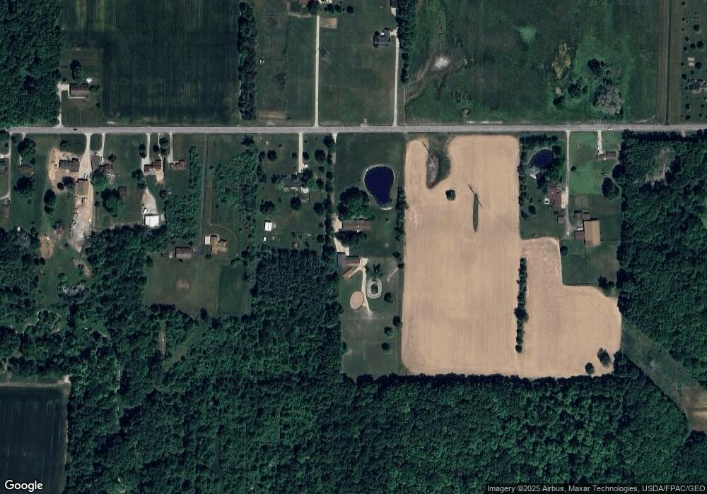
Map
Nearby Homes
- 40175 Banks Rd
- 40163 Banks Rd
- 808 Buckingham Dr
- 800 Buckingham Dr
- 801 Willich Ct
- 340 Granger Dr
- 13301 Indian Hollow Rd
- 548 William St
- 41341 Ravines Edge Way
- 516 Appomattox Ct
- 1033 Parsons Rd Unit 11
- 1207 Fox Run
- 1167 Fox Run
- 317 Church St
- 551 N Main St
- 0 Dill Ct Unit 5072837
- 697 Main St
- 305 W Main St
- 1017 Glendalough Ave
- 779 Huron St
- 40499 Parsons Rd
- 40551 Parsons Rd
- 40619 Parsons Rd
- 40637 Parsons Rd
- 40450 Parsons Rd
- 40309 Parsons Rd
- 40671 Parsons Rd
- 40500 Parsons Rd
- 40269 Parsons Rd
- 40699 Parsons Rd
- 40699 Parsons Rd
- 40700 Parsons Rd
- 40741 Parsons Rd
- 40183 Parsons Rd
- 40767 Parsons Rd
- 40184 Parsons Rd
- 328 Church St
- 40801 Parsons Rd
- 40829 Parsons Rd
- 40198 Parsons Rd
Your Personal Tour Guide
Ask me questions while you tour the home.