Estimated Value: $573,595 - $863,000
--
Bed
--
Bath
1,624
Sq Ft
$421/Sq Ft
Est. Value
About This Home
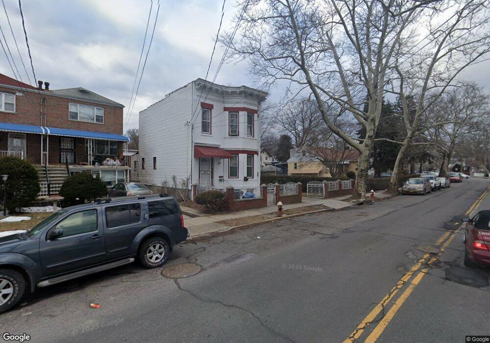
This home is located at 4047 Dyre Ave, Bronx, NY 10466 and is currently estimated at $683,399, approximately $420 per square foot. 4047 Dyre Ave is a home located in Bronx County with nearby schools including Cornerstone Academy For Social Action, Baychester Middle School, and One World Middle School At Edenwald.
Ownership History
Date
Name
Owned For
Owner Type
Purchase Details
Closed on
Aug 21, 2001
Sold by
Persaud David C and Persaud Parbatee L
Bought by
Sharma Sabita
Current Estimated Value
Purchase Details
Closed on
Feb 27, 2000
Sold by
Persaud David C and Persaud Parbatee L
Bought by
Persaud David C and Persuad Parbatee L
Purchase Details
Closed on
May 18, 1998
Sold by
Garcia Hector and Garcia Lillian E
Bought by
Persaud David C and Persaud Parbatee L
Home Financials for this Owner
Home Financials are based on the most recent Mortgage that was taken out on this home.
Original Mortgage
$150,000
Interest Rate
6.87%
Create a Home Valuation Report for This Property
The Home Valuation Report is an in-depth analysis detailing your home's value as well as a comparison with similar homes in the area
Home Values in the Area
Average Home Value in this Area
Purchase History
| Date | Buyer | Sale Price | Title Company |
|---|---|---|---|
| Sharma Sabita | -- | -- | |
| Sharma Sabita | -- | -- | |
| Persaud David C | -- | Commonwealth Land Title Ins | |
| Persaud David C | -- | Commonwealth Land Title Ins | |
| Persaud David C | $195,000 | Commonwealth Land Title Ins | |
| Persaud David C | $195,000 | Commonwealth Land Title Ins |
Source: Public Records
Mortgage History
| Date | Status | Borrower | Loan Amount |
|---|---|---|---|
| Previous Owner | Persaud David C | $150,000 |
Source: Public Records
Tax History Compared to Growth
Tax History
| Year | Tax Paid | Tax Assessment Tax Assessment Total Assessment is a certain percentage of the fair market value that is determined by local assessors to be the total taxable value of land and additions on the property. | Land | Improvement |
|---|---|---|---|---|
| 2025 | $4,387 | $23,153 | $4,464 | $18,689 |
| 2024 | $4,387 | $21,842 | $4,292 | $17,550 |
| 2023 | $4,185 | $20,606 | $4,685 | $15,921 |
| 2022 | $3,881 | $33,180 | $7,380 | $25,800 |
| 2021 | $4,091 | $26,940 | $7,380 | $19,560 |
| 2020 | $4,084 | $28,800 | $7,380 | $21,420 |
| 2019 | $3,808 | $28,980 | $7,380 | $21,600 |
| 2018 | $3,500 | $17,172 | $5,529 | $11,643 |
| 2017 | $3,302 | $16,200 | $7,380 | $8,820 |
| 2016 | $3,814 | $19,080 | $7,380 | $11,700 |
| 2015 | $2,487 | $19,906 | $8,189 | $11,717 |
| 2014 | $2,487 | $18,780 | $8,220 | $10,560 |
Source: Public Records
Map
Nearby Homes
- 4003 Secor Ave
- 42 Wildwood Ave
- 4044 Pratt Ave
- 3946 Secor Ave
- 4040 Pratt Ave
- 3992 Rombouts Ave
- 724 S 4th Ave
- 15 Saint Pauls Place
- 3964 Duryea Ave
- 3968 Duryea Ave
- 3919 Pratt Ave
- 3924 Duryea Ave
- 3963 Duryea Ave
- 2181 Strang Ave
- 2123 Garrett Place
- 629 S 7th Ave
- 625 S 5th Ave
- 32 Duryea Ave
- 605 S 6th Ave
- 3735 Rombouts Ave