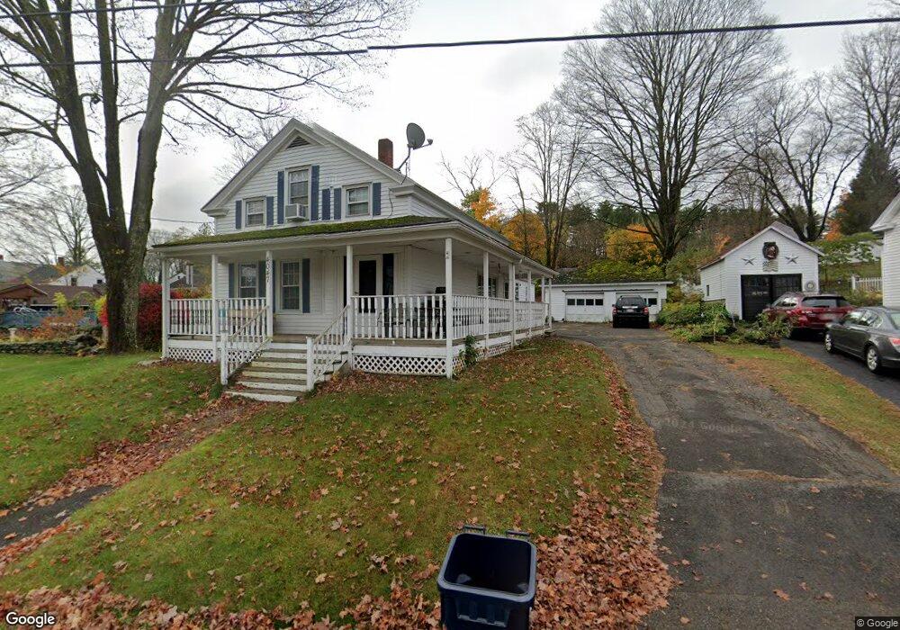
4047 Main St Thorndike, MA 01079
Estimated Value: $273,000 - $323,000
4
Beds
1
Bath
1,309
Sq Ft
$226/Sq Ft
Est. Value
About This Home
This home is located at 4047 Main St, Thorndike, MA 01079 and is currently estimated at $296,066, approximately $226 per square foot. 4047 Main St is a home with nearby schools including Old Mill Pond Elementary School, Palmer High School, and Converse Middle School.
Ownership History
Date
Name
Owned For
Owner Type
Purchase Details
Closed on
Oct 23, 2009
Sold by
Rosati Joseph L and Rosati Melanie C
Bought by
Wentworth Richard A and Wentworth Kayla R
Current Estimated Value
Home Financials for this Owner
Home Financials are based on the most recent Mortgage that was taken out on this home.
Original Mortgage
$178,300
Outstanding Balance
$116,014
Interest Rate
5.09%
Mortgage Type
Purchase Money Mortgage
Estimated Equity
$180,052
Create a Home Valuation Report for This Property
The Home Valuation Report is an in-depth analysis detailing your home's value as well as a comparison with similar homes in the area
Home Values in the Area
Average Home Value in this Area
Purchase History
| Date | Buyer | Sale Price | Title Company |
|---|---|---|---|
| Wentworth Richard A | $178,000 | -- | |
| Wentworth Richard A | $178,000 | -- |
Source: Public Records
Mortgage History
| Date | Status | Borrower | Loan Amount |
|---|---|---|---|
| Open | Wentworth Richard A | $178,300 | |
| Closed | Wentworth Richard A | $178,300 | |
| Previous Owner | Wentworth Richard A | $90,000 | |
| Previous Owner | Wentworth Richard A | $88,450 |
Source: Public Records
Tax History
| Year | Tax Paid | Tax Assessment Tax Assessment Total Assessment is a certain percentage of the fair market value that is determined by local assessors to be the total taxable value of land and additions on the property. | Land | Improvement |
|---|---|---|---|---|
| 2025 | $4,524 | $247,500 | $52,500 | $195,000 |
| 2024 | $4,238 | $223,400 | $47,700 | $175,700 |
| 2023 | $4,164 | $207,600 | $47,700 | $159,900 |
| 2022 | $4,165 | $187,200 | $41,900 | $145,300 |
| 2021 | $4,001 | $169,400 | $46,400 | $123,000 |
| 2020 | $3,866 | $162,700 | $46,400 | $116,300 |
| 2019 | $3,869 | $162,700 | $46,400 | $116,300 |
| 2018 | $3,727 | $158,000 | $45,000 | $113,000 |
| 2017 | $3,636 | $158,000 | $45,000 | $113,000 |
| 2016 | $3,425 | $153,600 | $43,800 | $109,800 |
| 2015 | $3,322 | $153,600 | $43,800 | $109,800 |
Source: Public Records
Map
Nearby Homes
- 4188 Main St
- 70 Summer St
- 4452 High St
- Lot 14 Center St
- 204 Bourne St
- 8 Summit Dr
- 248 Ware St
- 2173 Main St
- 101 Ware St
- 0 Old Warren Rd
- 2151 Main St
- 22 Pine View
- 61 Fuller Rd
- 2166-2168 Main St
- 405 Shearer St
- Lot 87-12 State St
- 2022-2024 Prospect St
- Lot 34 Old Warren Rd
- 105 Railroad St
- Lots 39-42 Lawrence
Your Personal Tour Guide
Ask me questions while you tour the home.