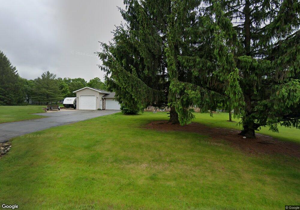
4049 Springfield Ln Slinger, WI 53086
Estimated Value: $592,000 - $663,003
Studio
--
Bath
--
Sq Ft
50,965
Sq Ft
About This Home
This home is located at 4049 Springfield Ln, Slinger, WI 53086 and is currently estimated at $630,251. 4049 Springfield Ln is a home located in Washington County with nearby schools including Slinger High School and St Peter Elementary School.
Ownership History
Date
Name
Owned For
Owner Type
Purchase Details
Closed on
May 5, 2009
Sold by
Guaranty Bank
Bought by
Schaus Matthew R
Current Estimated Value
Home Financials for this Owner
Home Financials are based on the most recent Mortgage that was taken out on this home.
Original Mortgage
$184,500
Outstanding Balance
$114,355
Interest Rate
4.9%
Mortgage Type
New Conventional
Estimated Equity
$515,896
Purchase Details
Closed on
Feb 26, 2009
Sold by
Milczarek Gelane T and Milczarek Michael D
Bought by
Guaranty Bank
Create a Home Valuation Report for This Property
The Home Valuation Report is an in-depth analysis detailing your home's value as well as a comparison with similar homes in the area
Home Values in the Area
Average Home Value in this Area
Purchase History
| Date | Buyer | Sale Price | Title Company |
|---|---|---|---|
| Schaus Matthew R | $205,000 | Capital Title And Closing Se | |
| Guaranty Bank | $181,530 | None Available |
Source: Public Records
Mortgage History
| Date | Status | Borrower | Loan Amount |
|---|---|---|---|
| Open | Schaus Matthew R | $184,500 |
Source: Public Records
Tax History
| Year | Tax Paid | Tax Assessment Tax Assessment Total Assessment is a certain percentage of the fair market value that is determined by local assessors to be the total taxable value of land and additions on the property. | Land | Improvement |
|---|---|---|---|---|
| 2025 | $3,701 | $466,600 | $102,800 | $363,800 |
| 2024 | $3,632 | $466,600 | $102,800 | $363,800 |
| 2023 | $3,296 | $466,600 | $102,800 | $363,800 |
| 2022 | $2,939 | $300,000 | $82,000 | $218,000 |
| 2021 | $2,929 | $300,000 | $82,000 | $218,000 |
| 2020 | $2,981 | $300,000 | $82,000 | $218,000 |
| 2019 | $2,732 | $282,500 | $82,000 | $200,500 |
| 2018 | $2,718 | $260,200 | $79,500 | $180,700 |
| 2017 | $2,807 | $260,200 | $79,500 | $180,700 |
| 2016 | $2,791 | $260,200 | $79,500 | $180,700 |
| 2015 | -- | $266,000 | $79,500 | $186,500 |
| 2014 | -- | $264,100 | $79,500 | $184,600 |
| 2013 | $3,072 | $266,100 | $79,500 | $186,600 |
Source: Public Records
Map
Nearby Homes
- 3555 Hillside Rd
- 2456 Boulder Dr
- 2470 Boulder Dr
- Lt62 Boulder Dr
- Lt84 Boulder Dr
- Lt60 Boulder Dr
- Lt86 Boulder Dr
- Lt58 Boulder Dr
- Lt92 Boulder Dr
- Lt77 Boulder Dr
- Lt90 Boulder Dr
- Lt88 Boulder Dr
- Lt74 Boulder Dr
- 2474 Boulder Dr
- 2491 Boulder Dr
- 2497 Boulder Dr
- 469 Limestone Ln
- 456 Sandstone St
- 2484 Boulder Dr
- Lt127 Sandstone St
- 4052 Springfield Ln
- 4065 Springfield Ln
- 4066 Springfield Ln
- 4036 Springfield Ln
- 3608 Cumberland Trail
- 3601 Cumberland Trail
- 4023 Springfield Ln
- 4080 Lexington Rd
- 4018 Springfield Ln
- 4084 Springfield Ln
- 3596 Cumberland Trail
- 4083 Lexington Rd
- 4090 Springfield Ln
- 3583 Cumberland Trail
- 4094 Lexington Rd
- 4083 Springfield Ln
- 4089 Springfield Ln
- 3670 Hillside Rd Unit A4
- 4025 Mason Ct
- 4008 Bunker Hill Rd
Your Personal Tour Guide
Ask me questions while you tour the home.