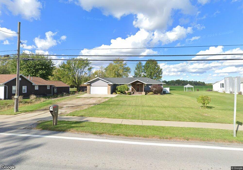
40494 State Route 303 Lagrange, OH 44050
Estimated Value: $255,000 - $312,000
2
Beds
2
Baths
1,530
Sq Ft
$181/Sq Ft
Est. Value
About This Home
This home is located at 40494 State Route 303, Lagrange, OH 44050 and is currently estimated at $276,451, approximately $180 per square foot. 40494 State Route 303 is a home located in Lorain County with nearby schools including Keystone Elementary School, Keystone Middle School, and Keystone High School.
Ownership History
Date
Name
Owned For
Owner Type
Purchase Details
Closed on
Oct 29, 2014
Sold by
Lowman Ronald W
Bought by
Lowman Debby A
Current Estimated Value
Purchase Details
Closed on
Dec 30, 2009
Sold by
Estate Of Glenda Lowman
Bought by
Lowman Ronald W
Purchase Details
Closed on
Jan 23, 1996
Sold by
C & S Land Dev
Bought by
Stiner & Sons Const Inc
Create a Home Valuation Report for This Property
The Home Valuation Report is an in-depth analysis detailing your home's value as well as a comparison with similar homes in the area
Home Values in the Area
Average Home Value in this Area
Purchase History
| Date | Buyer | Sale Price | Title Company |
|---|---|---|---|
| Lowman Debby A | -- | None Available | |
| Lowman Ronald W | -- | None Available | |
| Stiner & Sons Const Inc | $69,800 | -- |
Source: Public Records
Tax History Compared to Growth
Tax History
| Year | Tax Paid | Tax Assessment Tax Assessment Total Assessment is a certain percentage of the fair market value that is determined by local assessors to be the total taxable value of land and additions on the property. | Land | Improvement |
|---|---|---|---|---|
| 2024 | $3,317 | $79,181 | $10,899 | $68,282 |
| 2023 | $2,907 | $57,974 | $10,658 | $47,317 |
| 2022 | $2,886 | $57,974 | $10,658 | $47,317 |
| 2021 | $2,886 | $57,974 | $10,658 | $47,317 |
| 2020 | $2,649 | $47,440 | $8,720 | $38,720 |
| 2019 | $2,633 | $47,440 | $8,720 | $38,720 |
| 2018 | $2,438 | $47,440 | $8,720 | $38,720 |
| 2017 | $2,304 | $39,760 | $8,720 | $31,040 |
| 2016 | $2,288 | $39,760 | $8,720 | $31,040 |
| 2015 | $2,284 | $39,760 | $8,720 | $31,040 |
| 2014 | $1,116 | $31,410 | $8,720 | $22,690 |
| 2013 | $1,081 | $31,410 | $8,720 | $22,690 |
Source: Public Records
Map
Nearby Homes
- 0 Dill Ct Unit 5072837
- 194 Railroad St
- 110 Railroad St
- 516 Appomattox Ct
- 607 Rundle St
- 548 William St
- 433 N Center St
- 630 Rundle St
- 128 Harvest Ct
- 800 Buckingham Dr
- 808 Buckingham Dr
- 171 Keywood Blvd
- 822 Robinson Dr
- 40725 Biggs Rd
- 829 Robinson Dr
- 831 Robinson Dr
- 756 N Center St
- 19045 Whitehead Rd
- 41635 Parsons Rd
- 511 Arabian Ct