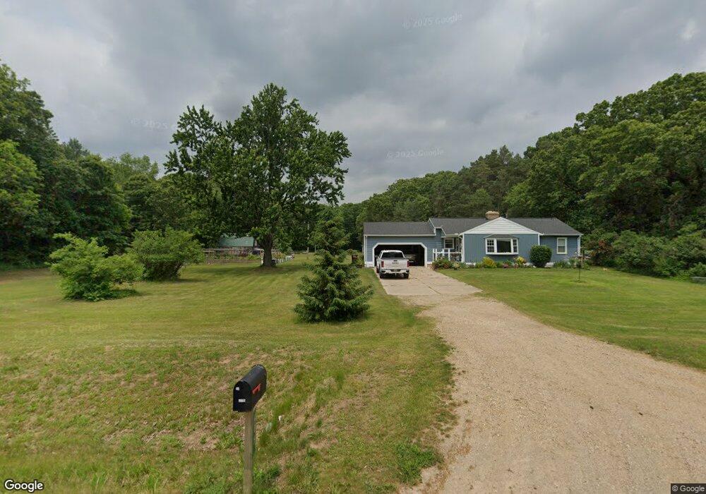
405 131st Ave Wayland, MI 49348
Estimated Value: $349,404 - $553,000
3
Beds
1
Bath
1
Sq Ft
$422,468/Sq Ft
Est. Value
About This Home
This home is located at 405 131st Ave, Wayland, MI 49348 and is currently estimated at $422,468, approximately $422,468 per square foot. 405 131st Ave is a home located in Allegan County with nearby schools including Wayland High School.
Create a Home Valuation Report for This Property
The Home Valuation Report is an in-depth analysis detailing your home's value as well as a comparison with similar homes in the area
Home Values in the Area
Average Home Value in this Area
Tax History Compared to Growth
Tax History
| Year | Tax Paid | Tax Assessment Tax Assessment Total Assessment is a certain percentage of the fair market value that is determined by local assessors to be the total taxable value of land and additions on the property. | Land | Improvement |
|---|---|---|---|---|
| 2025 | $2,743 | $169,300 | $53,500 | $115,800 |
| 2024 | $2,397 | $174,600 | $57,000 | $117,600 |
| 2023 | $2,461 | $134,800 | $52,000 | $82,800 |
| 2022 | $2,397 | $112,400 | $33,600 | $78,800 |
| 2021 | $2,265 | $106,600 | $33,600 | $73,000 |
| 2020 | $2,228 | $110,000 | $30,600 | $79,400 |
| 2019 | $2,144 | $93,600 | $30,600 | $63,000 |
| 2018 | $2,100 | $86,200 | $32,800 | $53,400 |
| 2017 | $0 | $86,800 | $32,800 | $54,000 |
| 2016 | $0 | $75,600 | $31,600 | $44,000 |
| 2015 | -- | $75,600 | $31,600 | $44,000 |
| 2014 | -- | $71,900 | $31,100 | $40,800 |
| 2013 | -- | $70,100 | $31,100 | $39,000 |
Source: Public Records
Map
Nearby Homes
- 516 131st Ave
- 590 129th Ave
- 3214 7th St
- 2841 Odawa Trail
- 2724 Pasture Ln
- 3296 Stonehill Ct
- 3282 Stonehill Ct
- 12720 S Grey Ct
- 843 Wild Flower Ct
- 835 Wild Flower Ct
- 12857 Michael Dr Unit 49
- 35 Cannonball Ln
- 1164 E Bernie Ct
- 330 Lotz Ct
- 12169 Pine Meadows Dr
- 1736 Parker Dr
- 1391 Shadowridge Dr
- 12031 Sandstone Dr
- 12712 Sunrise Ct
- 401 Anderson Dr