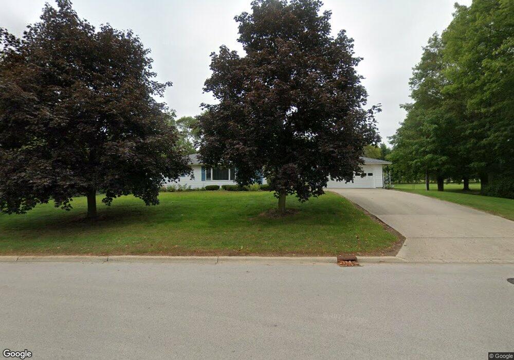
405 Apache Dr Fremont, MI 49412
Estimated Value: $261,000 - $337,000
Studio
2
Baths
--
Sq Ft
1
Acres
About This Home
This home is located at 405 Apache Dr, Fremont, MI 49412 and is currently estimated at $293,846. 405 Apache Dr is a home located in Newaygo County with nearby schools including Daisy Brook Elementary School, Pathfinder Elementary School, and Quest High School.
Ownership History
Date
Name
Owned For
Owner Type
Purchase Details
Closed on
Apr 17, 2009
Sold by
Glaser Janet L and Robert T
Bought by
Glaser Janet L and Glaser Robert T
Current Estimated Value
Home Financials for this Owner
Home Financials are based on the most recent Mortgage that was taken out on this home.
Original Mortgage
$99,950
Outstanding Balance
$63,557
Interest Rate
5.05%
Mortgage Type
Unknown
Estimated Equity
$230,289
Purchase Details
Closed on
Jun 12, 2007
Sold by
Nieboer Trusts Alfred and Nieboer Harriet
Bought by
Glaser Robert T
Create a Home Valuation Report for This Property
The Home Valuation Report is an in-depth analysis detailing your home's value as well as a comparison with similar homes in the area
Home Values in the Area
Average Home Value in this Area
Purchase History
| Date | Buyer | Sale Price | Title Company |
|---|---|---|---|
| Glaser Janet L | -- | None Available | |
| Glaser Janet | -- | None Available | |
| Glaser Robert T | $125,000 | -- |
Source: Public Records
Mortgage History
| Date | Status | Borrower | Loan Amount |
|---|---|---|---|
| Open | Glaser Janet | $99,950 |
Source: Public Records
Tax History
| Year | Tax Paid | Tax Assessment Tax Assessment Total Assessment is a certain percentage of the fair market value that is determined by local assessors to be the total taxable value of land and additions on the property. | Land | Improvement |
|---|---|---|---|---|
| 2025 | $2,681 | $137,900 | $0 | $0 |
| 2024 | $26 | $132,400 | $0 | $0 |
| 2023 | $2,487 | $114,400 | $0 | $0 |
| 2022 | $3,120 | $102,400 | $0 | $0 |
| 2021 | $3,015 | $90,500 | $0 | $0 |
| 2020 | $2,977 | $78,900 | $0 | $0 |
| 2019 | $2,852 | $71,700 | $0 | $0 |
| 2018 | $2,785 | $70,100 | $0 | $0 |
| 2017 | $2,754 | $67,100 | $0 | $0 |
| 2016 | $2,406 | $58,000 | $0 | $0 |
| 2015 | -- | $58,400 | $0 | $0 |
| 2014 | -- | $53,700 | $0 | $0 |
Source: Public Records
Map
Nearby Homes
- 630 S Stewart Ave
- 531 Seminole Dr
- 305 E Pine St
- 109 E Pine St
- 601 E Oak St
- 116 E Sheridan St
- 215 S Division Ave
- 5229 Lilac Ln
- 316 E Cherry St
- 518 S Sullivan Ave
- Integrity 2061 V8.1a Plan at Hillcrest
- Integrity 2000 Plan at Hillcrest
- integrity 2280 Plan at Hillcrest
- Integrity 1605 Plan at Hillcrest
- Integrity 1610 Plan at Hillcrest
- Integrity 2085 Plan at Hillcrest
- Integrity 1910 Plan at Hillcrest
- Integrity 2060 Plan at Hillcrest
- Integrity 1750 Plan at Hillcrest
- integrity 1830 Plan at Hillcrest
Your Personal Tour Guide
Ask me questions while you tour the home.