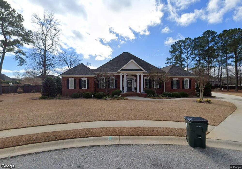
405 Avondale Cir Warner Robins, GA 31088
Estimated Value: $654,000 - $782,000
5
Beds
5
Baths
4,810
Sq Ft
$147/Sq Ft
Est. Value
About This Home
This home is located at 405 Avondale Cir, Warner Robins, GA 31088 and is currently estimated at $705,042, approximately $146 per square foot. 405 Avondale Cir is a home located in Houston County with nearby schools including Lake Joy Primary School, Lake Joy Elementary School, and Mossy Creek Middle School.
Ownership History
Date
Name
Owned For
Owner Type
Purchase Details
Closed on
Mar 6, 2020
Sold by
Chaloult Christopher J and Chaloult Lori M
Bought by
Stramblad Kyle Everett and Stramblad Kasey L
Current Estimated Value
Home Financials for this Owner
Home Financials are based on the most recent Mortgage that was taken out on this home.
Original Mortgage
$334,620
Outstanding Balance
$296,913
Interest Rate
3.6%
Mortgage Type
VA
Estimated Equity
$408,129
Create a Home Valuation Report for This Property
The Home Valuation Report is an in-depth analysis detailing your home's value as well as a comparison with similar homes in the area
Home Values in the Area
Average Home Value in this Area
Purchase History
| Date | Buyer | Sale Price | Title Company |
|---|---|---|---|
| Stramblad Kyle Everett | $510,000 | None Available |
Source: Public Records
Mortgage History
| Date | Status | Borrower | Loan Amount |
|---|---|---|---|
| Open | Stramblad Kyle Everett | $334,620 |
Source: Public Records
Tax History Compared to Growth
Tax History
| Year | Tax Paid | Tax Assessment Tax Assessment Total Assessment is a certain percentage of the fair market value that is determined by local assessors to be the total taxable value of land and additions on the property. | Land | Improvement |
|---|---|---|---|---|
| 2024 | $7,646 | $233,640 | $24,000 | $209,640 |
| 2023 | $7,154 | $216,960 | $24,000 | $192,960 |
| 2022 | $4,843 | $210,640 | $24,000 | $186,640 |
| 2021 | $4,463 | $193,040 | $24,000 | $169,040 |
| 2020 | $4,438 | $193,040 | $24,000 | $169,040 |
| 2019 | $4,285 | $186,440 | $25,000 | $161,440 |
| 2018 | $4,192 | $182,440 | $25,000 | $157,440 |
| 2017 | $4,196 | $182,440 | $25,000 | $157,440 |
| 2016 | $4,202 | $182,440 | $25,000 | $157,440 |
| 2015 | -- | $172,880 | $24,000 | $148,880 |
| 2014 | -- | $172,880 | $24,000 | $148,880 |
| 2013 | -- | $172,880 | $24,000 | $148,880 |
Source: Public Records
Map
Nearby Homes
- 203 Vinings Place Dr
- 407 Avondale Cir
- 403 Avondale Cir Unit 50
- 403 Avondale Cir
- 201 Vinings Place Dr
- 303 Vinings Place Dr
- 0 Dry Brook Ct Unit 7477384
- 0 Dry Brook Ct Unit 8253908
- 406 Avondale Cir
- 404 Avondale Cir
- 401 Avondale Cir
- 305 Vinings Place Dr
- 101 Dry Brook Ct
- 402 Avondale Cir
- 202 Vinings Place Dr
- 302 Vinings Place Dr
- 200 Vinings Place Dr
- 200 Avondale Cir
- 116 Vinings Place Dr
- 400 Avondale Cir