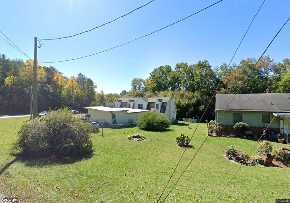
405 Coe Ave High Point, NC 27263
Greater High Point NeighborhoodEstimated Value: $179,000 - $274,000
3
Beds
3
Baths
1,806
Sq Ft
$132/Sq Ft
Est. Value
About This Home
This home is located at 405 Coe Ave, High Point, NC 27263 and is currently estimated at $238,293, approximately $131 per square foot. 405 Coe Ave is a home located in Guilford County with nearby schools including Allen Jay Elementary School, Southern Guilford Middle, and Southern Guilford High School.
Ownership History
Date
Name
Owned For
Owner Type
Purchase Details
Closed on
Jul 13, 2018
Sold by
Meredith Ronald E and Meredith Patricia Y
Bought by
Teal David
Current Estimated Value
Home Financials for this Owner
Home Financials are based on the most recent Mortgage that was taken out on this home.
Original Mortgage
$94,090
Outstanding Balance
$81,543
Interest Rate
4.5%
Mortgage Type
New Conventional
Estimated Equity
$156,750
Purchase Details
Closed on
Jul 26, 2006
Sold by
Citifinancial Mortgage Inc
Bought by
Meredith Ronald and Meredith Patricia
Home Financials for this Owner
Home Financials are based on the most recent Mortgage that was taken out on this home.
Original Mortgage
$105,000
Interest Rate
6.6%
Mortgage Type
Purchase Money Mortgage
Create a Home Valuation Report for This Property
The Home Valuation Report is an in-depth analysis detailing your home's value as well as a comparison with similar homes in the area
Home Values in the Area
Average Home Value in this Area
Purchase History
| Date | Buyer | Sale Price | Title Company |
|---|---|---|---|
| Teal David | $97,000 | None Available | |
| Meredith Ronald | $80,000 | None Available |
Source: Public Records
Mortgage History
| Date | Status | Borrower | Loan Amount |
|---|---|---|---|
| Open | Teal David | $94,090 | |
| Previous Owner | Meredith Ronald | $105,000 |
Source: Public Records
Tax History Compared to Growth
Tax History
| Year | Tax Paid | Tax Assessment Tax Assessment Total Assessment is a certain percentage of the fair market value that is determined by local assessors to be the total taxable value of land and additions on the property. | Land | Improvement |
|---|---|---|---|---|
| 2025 | $1,156 | $131,800 | $24,700 | $107,100 |
| 2024 | $1,156 | $131,800 | $24,700 | $107,100 |
| 2023 | $1,156 | $131,800 | $24,700 | $107,100 |
| 2022 | $1,156 | $131,800 | $24,700 | $107,100 |
| 2021 | $1,143 | $130,300 | $24,700 | $105,600 |
| 2020 | $1,143 | $130,300 | $24,700 | $105,600 |
| 2019 | $1,143 | $130,300 | $0 | $0 |
| 2018 | $1,137 | $130,300 | $0 | $0 |
| 2017 | $1,108 | $130,300 | $0 | $0 |
| 2016 | $1,103 | $126,000 | $0 | $0 |
| 2015 | $1,109 | $126,000 | $0 | $0 |
| 2014 | $1,121 | $126,000 | $0 | $0 |
Source: Public Records
Map
Nearby Homes
- 1846 Sechrest Cir
- 1815 Sechrest Cir
- 3617 Southpark Dr
- 630 Liberty Rd
- 526 Liberty Rd
- 603 Chesapeake Ln
- 510 Aldridge Rd
- 103 Oakmont Cir
- 424 Aldridge Rd
- 2616 Ingram Rd
- 1120 E Springfield Rd
- 1640 Kersey Valley Rd
- 204 Aldridge Ln
- 2712 Janice Dr
- 914 Nance Ave
- 706 E Fairfield Rd
- 10844 N Main St
- 104 Autumn Hill Ct
- 600 E Fairfield Rd
- 811 Nance Ave
- 407 Coe Ave
- 404 Coe Ave
- 408 Coe Ave
- 412 Coe Ave
- 0 Private Dr Unit 801642
- 310 Brookdale Dr
- 814 Liberty Rd
- 114 Greenhaven Dr
- 303 Brookdale Dr
- 203 Lakeview Ave
- 110 Greenhaven Dr
- 124 Greenhaven Dr
- 301 Brookdale Dr
- 817 Liberty Rd
- 213 Lakeview Ave
- 914 Liberty Rd
- 3328 Longview Dr
- 108 Greenhaven Dr
- 901 Liberty Rd
- 809 Liberty Rd