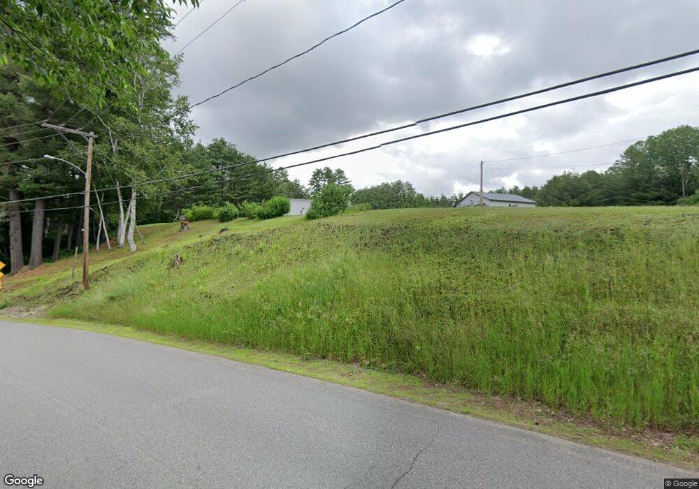
405 E Andover Rd East Andover, ME 04226
Estimated Value: $168,698 - $277,000
Studio
--
Bath
924
Sq Ft
$253/Sq Ft
Est. Value
About This Home
This home is located at 405 E Andover Rd, East Andover, ME 04226 and is currently estimated at $233,566, approximately $252 per square foot. 405 E Andover Rd is a home with nearby schools including Telstar Middle School and Telstar High School.
Create a Home Valuation Report for This Property
The Home Valuation Report is an in-depth analysis detailing your home's value as well as a comparison with similar homes in the area
Tax History
| Year | Tax Paid | Tax Assessment Tax Assessment Total Assessment is a certain percentage of the fair market value that is determined by local assessors to be the total taxable value of land and additions on the property. | Land | Improvement |
|---|---|---|---|---|
| 2025 | $1,921 | $88,543 | $40,115 | $48,428 |
| 2024 | $1,616 | $88,543 | $40,115 | $48,428 |
| 2023 | $1,372 | $88,543 | $40,115 | $48,428 |
| 2022 | $1,319 | $88,543 | $40,115 | $48,428 |
| 2021 | $1,240 | $88,543 | $40,115 | $48,428 |
| 2020 | $1,195 | $88,544 | $40,116 | $48,428 |
| 2019 | $1,328 | $88,544 | $40,116 | $48,428 |
| 2018 | $1,390 | $88,544 | $40,116 | $48,428 |
| 2017 | $1,716 | $75,280 | $22,500 | $52,780 |
| 2016 | $1,856 | $75,280 | $22,500 | $52,780 |
| 2015 | $1,475 | $75,280 | $22,500 | $52,780 |
| 2014 | $1,174 | $75,280 | $22,500 | $52,780 |
| 2013 | $1,092 | $75,280 | $22,500 | $52,780 |
Source: Public Records
Map
Nearby Homes
- 289 S Main St
- 91 Airport Rd
- 10 S Arm Rd
- 24 Dual Cove Point Rd
- Lot 27-001 Coburn Brook Rd
- 108 Coburn Brook Rd
- Lot 22 Roxbury Notch Rd
- Map 402 Lot 7 Rd
- Map 402 Lot 9
- Map 402 Lot 3
- Map 404 Lot 13
- Map 402 Lot 10
- Map 401 Lot 8 Rd
- Lot 39 Sawyer Notch Rd
- Lot 045 Sawyer Notch Rd
- Off Garland Pond Rd
- Off Garland Pond Rd
- 28 Glover Rd
- 9 Glover Rd
- 258 Isthmus Rd
- 381 E Andover Rd
- 00 Farmers Hill Rd
- 6/43A Farmer's Hill
- Lot 16 Farmers Hill Rd
- 371 E Andover Rd
- 371 E Andover Rd
- 27 Farmers Hill Rd
- 30 Farmers Hill Rd
- 431 E Andover Rd
- 223 E Andover Rd
- 241 E Andover Rd
- 415 E Andover Rd
- 87 E Andover Rd
- lot 11 E Andover Rd
- 171 E Andover Rd
- LOT 1 E Andover Rd
- 466 E Andover Rd
- 0 Andover Rd Unit 1221716
- 160 E Andover Rd
- Lot 6 Off East Andover Rd
Your Personal Tour Guide
Ask me questions while you tour the home.