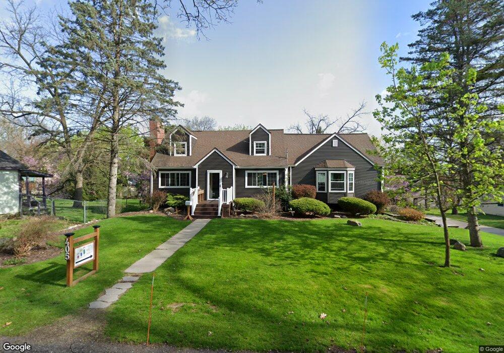
405 E High St Fenton, MI 48430
Estimated Value: $288,000 - $402,000
3
Beds
3
Baths
1,914
Sq Ft
$182/Sq Ft
Est. Value
About This Home
This home is located at 405 E High St, Fenton, MI 48430 and is currently estimated at $348,535, approximately $182 per square foot. 405 E High St is a home located in Genesee County with nearby schools including Fenton Senior High School and St. John the Evangelist Catholic School.
Ownership History
Date
Name
Owned For
Owner Type
Purchase Details
Closed on
May 29, 2001
Sold by
Burcicki Douglas A and Burcicki Jill A
Bought by
Jamison Michael J and Jamison Nicole
Current Estimated Value
Home Financials for this Owner
Home Financials are based on the most recent Mortgage that was taken out on this home.
Original Mortgage
$154,350
Interest Rate
7.14%
Purchase Details
Closed on
Mar 29, 1999
Sold by
Harris Thomas E and Harris Carolyn A
Bought by
Burcicki Douglas A and Burcicki Jill E
Create a Home Valuation Report for This Property
The Home Valuation Report is an in-depth analysis detailing your home's value as well as a comparison with similar homes in the area
Home Values in the Area
Average Home Value in this Area
Purchase History
| Date | Buyer | Sale Price | Title Company |
|---|---|---|---|
| Jamison Michael J | $171,500 | Eit Title | |
| Burcicki Douglas A | $157,900 | Lawyers Title Insurance Corp |
Source: Public Records
Mortgage History
| Date | Status | Borrower | Loan Amount |
|---|---|---|---|
| Previous Owner | Jamison Michael J | $154,350 |
Source: Public Records
Tax History Compared to Growth
Tax History
| Year | Tax Paid | Tax Assessment Tax Assessment Total Assessment is a certain percentage of the fair market value that is determined by local assessors to be the total taxable value of land and additions on the property. | Land | Improvement |
|---|---|---|---|---|
| 2025 | $3,388 | $163,400 | $0 | $0 |
| 2024 | $2,321 | $149,000 | $0 | $0 |
| 2023 | $2,214 | $135,700 | $0 | $0 |
| 2022 | $3,094 | $118,900 | $0 | $0 |
| 2021 | $2,776 | $109,500 | $0 | $0 |
| 2020 | $1,824 | $105,200 | $0 | $0 |
| 2019 | $1,808 | $93,000 | $0 | $0 |
| 2018 | $2,644 | $94,500 | $0 | $0 |
| 2017 | $2,546 | $89,700 | $0 | $0 |
| 2016 | $2,529 | $73,000 | $0 | $0 |
| 2015 | $2,584 | $71,200 | $0 | $0 |
| 2012 | -- | $57,900 | $57,900 | $0 |
Source: Public Records
Map
Nearby Homes
- 300 Union St
- 1039 S East St
- 407 E Elizabeth St
- 700 S Adelaide St
- 300 E Ellen St
- 305 Furlong Ct
- 700 Eagle Dr Unit 1
- 724 Eagle Dr Unit 11
- 404 Main St
- 11577 Farmhill Dr
- 11548 Farmhill Dr
- 961 Loon Ct Unit 49
- 507 Main St
- 0 W Caroline St
- 928 Eagle Dr Unit A119
- 928 Eagle Dr Unit A116
- 928 Eagle Dr Unit A117
- 928 Eagle Dr Unit A115
- 928 Eagle Dr Unit A118
- 928 Eagle Dr Unit A114
- 409 E High St
- 904 Williams St
- 904 Williams St
- 406 Wakeman St
- 709 S East St
- 1004 Williams St
- 703 S East St
- 400 Wakeman St
- 909 Williams St
- 801 S East St
- 903 Williams St Unit Bldg-Unit
- 903 Williams St
- 409 Wakeman St
- 1008 Williams St
- 619 S East St
- 506 Wakeman St
- 710 S East St
- 1001 Williams St
- 809 Williams St
- 809 Williams St