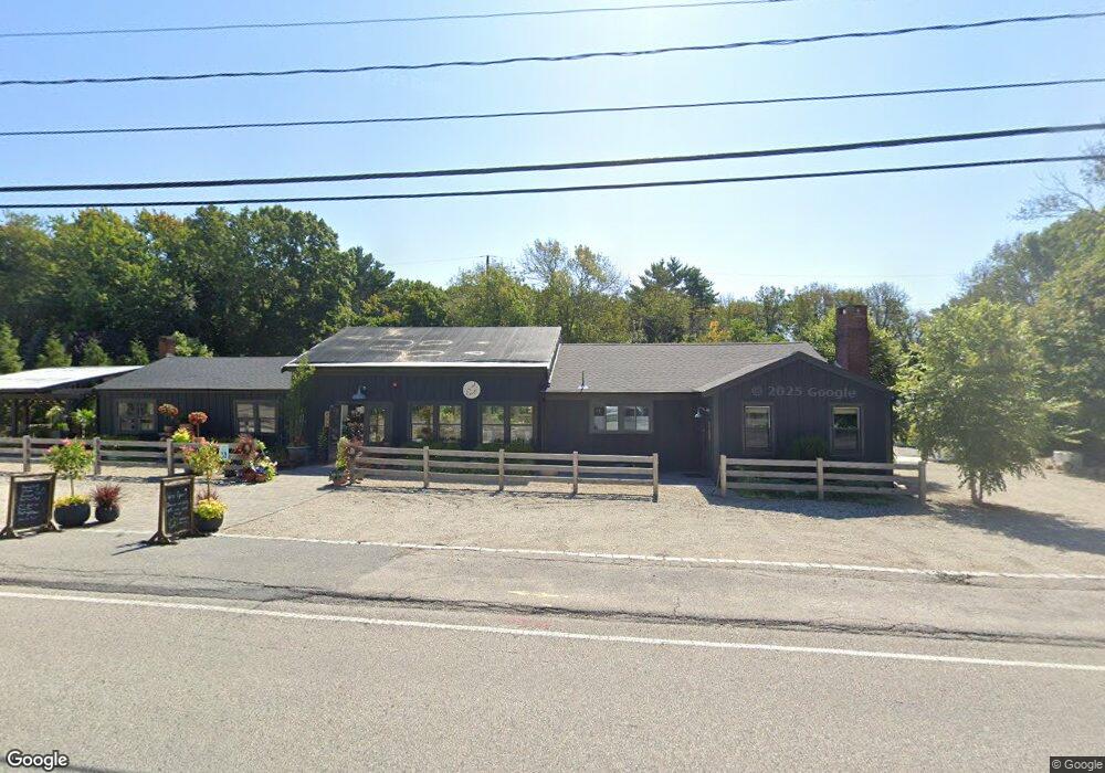
405 First Parish Rd Scituate, MA 02066
Estimated Value: $733,262
Studio
1
Bath
1,016
Sq Ft
$722/Sq Ft
Est. Value
About This Home
This home is located at 405 First Parish Rd, Scituate, MA 02066 and is currently estimated at $733,262, approximately $721 per square foot. 405 First Parish Rd is a home located in Plymouth County with nearby schools including Cushing Elementary School, Lester J. Gates Middle School, and Scituate High School.
Ownership History
Date
Name
Owned For
Owner Type
Purchase Details
Closed on
Jun 6, 2025
Sold by
Cmb Realty Group Llc
Bought by
Goodman Realty Tllc
Current Estimated Value
Home Financials for this Owner
Home Financials are based on the most recent Mortgage that was taken out on this home.
Original Mortgage
$490,000
Outstanding Balance
$487,031
Interest Rate
6.81%
Mortgage Type
Purchase Money Mortgage
Estimated Equity
$246,231
Purchase Details
Closed on
Nov 15, 2022
Sold by
Kehoe Jody
Bought by
Cmb Realty Group Llc
Purchase Details
Closed on
Mar 22, 2010
Sold by
405 1St Parish Road Nt and Greggo
Bought by
Kehoe Jody
Purchase Details
Closed on
Jan 31, 2003
Sold by
Arcese Ft and Arcese
Bought by
405 1St Parish Road Nt and Greggo
Purchase Details
Closed on
Oct 12, 2001
Sold by
Sumner Kevin P
Bought by
Arcese Ft and Arcese
Purchase Details
Closed on
Apr 2, 1997
Sold by
Prouty Wilfred C
Bought by
Sumner Kevin P
Create a Home Valuation Report for This Property
The Home Valuation Report is an in-depth analysis detailing your home's value as well as a comparison with similar homes in the area
Home Values in the Area
Average Home Value in this Area
Purchase History
| Date | Buyer | Sale Price | Title Company |
|---|---|---|---|
| Goodman Realty Tllc | $980,000 | None Available | |
| Goodman Realty Tllc | $980,000 | None Available | |
| Cmb Realty Group Llc | $599,000 | None Available | |
| Cmb Realty Group Llc | $599,000 | None Available | |
| Kehoe Jody | $220,000 | -- | |
| Kehoe Jody | $220,000 | -- | |
| Kehoe Jody | $220,000 | -- | |
| 405 1St Parish Road Nt | $280,000 | -- | |
| 405 1St Parish Road Nt | $280,000 | -- | |
| Arcese Ft | $410,000 | -- | |
| Arcese Ft | $410,000 | -- | |
| Sumner Kevin P | $189,900 | -- | |
| Sumner Kevin P | $189,900 | -- |
Source: Public Records
Mortgage History
| Date | Status | Borrower | Loan Amount |
|---|---|---|---|
| Open | Goodman Realty Tllc | $490,000 | |
| Closed | Goodman Realty Tllc | $490,000 | |
| Previous Owner | Sumner Kevin P | $352,000 | |
| Previous Owner | Sumner Kevin P | $35,300 |
Source: Public Records
Tax History
| Year | Tax Paid | Tax Assessment Tax Assessment Total Assessment is a certain percentage of the fair market value that is determined by local assessors to be the total taxable value of land and additions on the property. | Land | Improvement |
|---|---|---|---|---|
| 2025 | $8,690 | $869,900 | $378,400 | $491,500 |
| 2024 | $8,532 | $823,600 | $344,000 | $479,600 |
| 2023 | $6,608 | $579,200 | $330,100 | $249,100 |
| 2022 | $6,608 | $523,600 | $299,800 | $223,800 |
| 2021 | $6,537 | $490,400 | $285,500 | $204,900 |
| 2020 | $6,371 | $471,900 | $274,500 | $197,400 |
| 2019 | $6,314 | $459,500 | $269,100 | $190,400 |
| 2018 | $5,972 | $428,100 | $257,500 | $170,600 |
| 2017 | $5,874 | $416,900 | $246,300 | $170,600 |
| 2016 | $5,578 | $394,500 | $223,900 | $170,600 |
| 2015 | $5,168 | $394,500 | $223,900 | $170,600 |
Source: Public Records
Map
Nearby Homes
- 327 Country Way
- 34 Cudworth Rd
- 74 Branch St Unit 15
- 20 Grace Way Unit 20
- 6 Grace Way Unit 6
- 27 Grace Way
- 115 Elm St
- 20 Lawson Rd
- 111 Elm St
- 1 Washington Ln
- 20 Lee Ave
- 49 Jackson Rd
- 49 Whittier Dr
- 54 Woodland Rd
- 124 Captain Peirce Rd
- 59 Captain Peirce Rd
- 627 First Parish Rd
- 98 Satuit Trail
- 38 Lauren Ln
- 94 Old Oaken Bucket Rd
- 405 First Parish Rd Unit Business
- 405 First Parish Rd Unit B
- 405 First Parish Rd Unit n/a
- 401 First Parish Rd
- 406 First Parish Rd
- 400 First Parish Rd
- 415 First Parish Rd
- 396 First Parish Rd
- 418 First Parish Rd Unit 418A
- 418 First Parish Rd
- 418A First Parish Rd Unit A
- 418A First Parish Rd
- 421 First Parish Rd
- 6 Cornerstone Ln
- 11 Cornerstone Ln
- 420 First Parish Rd
- 66 Williamsburg Ln
- 10 Cornerstone Ln
- Lot 12 Deer Common
- Lot 2 Deer Common Dr
Your Personal Tour Guide
Ask me questions while you tour the home.