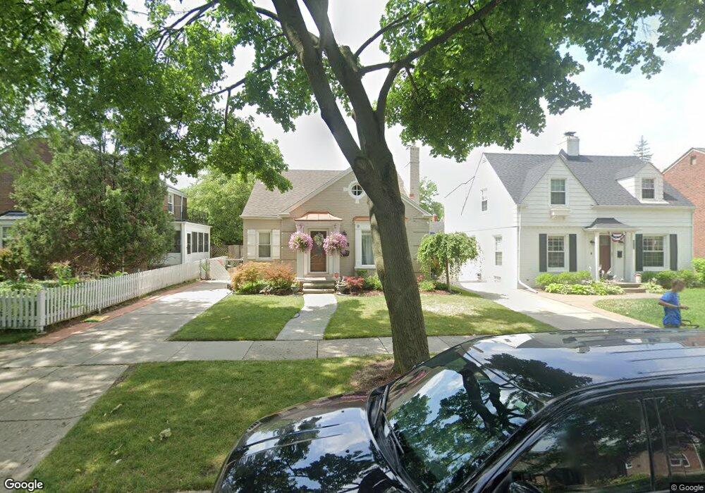
405 Lothrop Rd Grosse Pointe Farms, MI 48236
Estimated Value: $354,535 - $411,000
3
Beds
2
Baths
1,770
Sq Ft
$218/Sq Ft
Est. Value
About This Home
This home is located at 405 Lothrop Rd, Grosse Pointe Farms, MI 48236 and is currently estimated at $386,384, approximately $218 per square foot. 405 Lothrop Rd is a home located in Wayne County with nearby schools including Kerby Elementary School, Brownell Middle School, and Grosse Pointe South High School.
Ownership History
Date
Name
Owned For
Owner Type
Purchase Details
Closed on
Mar 14, 2017
Sold by
Pitman Steven Michael
Bought by
Summers Keyonte
Current Estimated Value
Purchase Details
Closed on
Jan 6, 2010
Sold by
Keating James and Keating Joanne
Bought by
Federal Home Loan Mortgage Corp
Purchase Details
Closed on
Dec 28, 2001
Sold by
Horman Kim Linthorst
Bought by
Keating James
Purchase Details
Closed on
Nov 6, 1995
Sold by
Shapiro Sandra
Bought by
Sandra Shapiro
Create a Home Valuation Report for This Property
The Home Valuation Report is an in-depth analysis detailing your home's value as well as a comparison with similar homes in the area
Home Values in the Area
Average Home Value in this Area
Purchase History
| Date | Buyer | Sale Price | Title Company |
|---|---|---|---|
| Summers Keyonte | $34,900 | First American Title | |
| Federal Home Loan Mortgage Corp | $179,671 | None Available | |
| Keating James | $243,000 | -- | |
| Sandra Shapiro | $146,000 | -- |
Source: Public Records
Tax History Compared to Growth
Tax History
| Year | Tax Paid | Tax Assessment Tax Assessment Total Assessment is a certain percentage of the fair market value that is determined by local assessors to be the total taxable value of land and additions on the property. | Land | Improvement |
|---|---|---|---|---|
| 2025 | $3,359 | $158,700 | $0 | $0 |
| 2024 | $3,359 | $149,700 | $0 | $0 |
| 2023 | $2,288 | $138,500 | $0 | $0 |
| 2022 | $4,273 | $127,100 | $0 | $0 |
| 2021 | $4,037 | $116,200 | $0 | $0 |
| 2019 | $3,969 | $102,100 | $0 | $0 |
| 2018 | $2,031 | $97,100 | $0 | $0 |
| 2017 | $3,525 | $94,500 | $0 | $0 |
| 2016 | $3,695 | $92,700 | $0 | $0 |
| 2015 | $7,319 | $80,700 | $0 | $0 |
| 2013 | $7,090 | $70,900 | $0 | $0 |
| 2012 | $1,886 | $70,900 | $22,000 | $48,900 |
Source: Public Records
Map
Nearby Homes
- 415 Lothrop Rd
- 380 Merriweather Rd
- 441 Manor St
- 343 Mount Vernon Ave
- 317 Mount Vernon Ave
- 314 Mount Vernon Ave
- 975 Fisher Rd
- 302 Mount Vernon Ave
- 351 Moselle Place
- 265 Williams Ave
- 471 Touraine Rd
- 352 Mckinley Ave
- 432 Calvin Ave
- 341 Mcmillan Rd
- 827 Fisher Rd
- 18119 Cornwall St
- 259 Mount Vernon Ave
- 876 Washington Rd
- 4598 Lodewyck St
- 276 Lewiston Rd
- 407 Lothrop Rd
- 227 Chalfonte Ave
- 409 Lothrop Rd
- 404 Mount Vernon Ave
- 406 Mount Vernon Ave
- 225 Chalfonte Ave
- 411 Lothrop Rd
- 404 Lothrop Rd
- 406 Lothrop Rd
- 410 Lothrop Rd
- 414 Mount Vernon Ave
- 417 Lothrop Rd
- 412 Lothrop Rd
- 418 Mt Vernon Ave
- 418 Mt Vernon
- 418 Mount Vernon Ave
- 390 Mount Vernon Ave Unit Bldg-Unit
- 390 Mount Vernon Ave
- 414 Lothrop Rd
- 390 Mt Vernon