405 Mason Branch Ln Queen Anne, MD 21657
Estimated Value: $625,000 - $727,000
--
Bed
4
Baths
3,236
Sq Ft
$205/Sq Ft
Est. Value
About This Home
This home is located at 405 Mason Branch Ln, Queen Anne, MD 21657 and is currently estimated at $662,360, approximately $204 per square foot. 405 Mason Branch Ln is a home located in Queen Anne's County with nearby schools including Centreville Elementary School, Kennard Elementary School, and Centreville Middle School.
Ownership History
Date
Name
Owned For
Owner Type
Purchase Details
Closed on
Mar 11, 2004
Sold by
Washington Rhonda L
Bought by
Washington Rhonda L and Washington Cheryl L Schmelzle
Current Estimated Value
Purchase Details
Closed on
Jun 15, 1998
Sold by
Chanaud Sheila J
Bought by
Chanaud Lawrence L and Chanaud Sheila
Purchase Details
Closed on
Nov 19, 1997
Sold by
Twomey Stephen R and Twomey Sheila J
Bought by
Chanaud Sheila J
Create a Home Valuation Report for This Property
The Home Valuation Report is an in-depth analysis detailing your home's value as well as a comparison with similar homes in the area
Home Values in the Area
Average Home Value in this Area
Purchase History
| Date | Buyer | Sale Price | Title Company |
|---|---|---|---|
| Washington Rhonda L | -- | -- | |
| Washington Rhonda L | $364,000 | -- | |
| Chanaud Lawrence L | -- | -- | |
| Chanaud Sheila J | -- | -- |
Source: Public Records
Mortgage History
| Date | Status | Borrower | Loan Amount |
|---|---|---|---|
| Closed | Chanaud Lawrence L | -- |
Source: Public Records
Tax History Compared to Growth
Tax History
| Year | Tax Paid | Tax Assessment Tax Assessment Total Assessment is a certain percentage of the fair market value that is determined by local assessors to be the total taxable value of land and additions on the property. | Land | Improvement |
|---|---|---|---|---|
| 2025 | $4,844 | $555,400 | $93,500 | $461,900 |
| 2024 | $4,601 | $514,667 | $0 | $0 |
| 2023 | $4,366 | $473,933 | $0 | $0 |
| 2022 | $4,141 | $433,200 | $93,500 | $339,700 |
| 2021 | $4,119 | $423,200 | $0 | $0 |
| 2020 | $2,884 | $413,200 | $0 | $0 |
| 2019 | $2,870 | $403,200 | $93,500 | $309,700 |
| 2018 | $2,841 | $399,900 | $0 | $0 |
| 2017 | $2,812 | $396,600 | $0 | $0 |
| 2016 | -- | $393,300 | $0 | $0 |
| 2015 | $1,862 | $390,467 | $0 | $0 |
| 2014 | $1,862 | $387,633 | $0 | $0 |
Source: Public Records
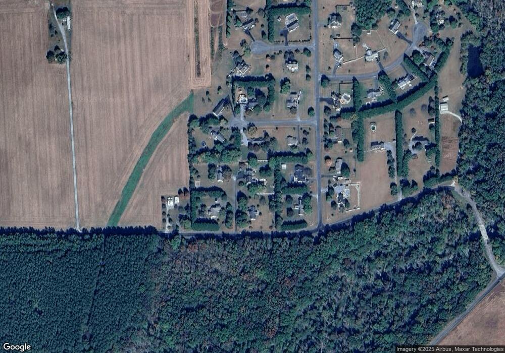
Map
Nearby Homes
- 408 Laurens Way
- 113 Paulowina Rd
- 104 Gadd Dr
- 129 Thicket Ct
- 107 Thicket Ct
- 219 Songbird Ln
- 12615 Eveland Rd
- 13364 River Rd
- 5 Lister Ln
- 130 Walnut St
- 14 N Maple Ave
- 6 N Central Ave
- 8 W Liberty St
- 7 W Belle St
- 1 Sunrise Ave
- 10 Sunrise Ave
- 0 5 281 Acres Schulyer Rd
- 202 Maryland Ave
- 208 Oriole Ave
- 301 Central Ave
- 407 Mason Branch Ln
- 110 Chriss Dr
- 403 Mason Branch Ln
- 101 Laurens Way
- 401 Mason Branch Ln
- 103 Laurens Way
- 112 Chriss Dr
- 108 Chriss Dr
- 104 Chriss Dr
- 321 Mason Branch Rd
- 106 Chriss Dr
- 102 Chriss Dr
- 102 Laurens Way
- 100 Laurens Way
- 104 Laurens Way
- 109 Sams Dr
- 106 Laurens Way
- 103 Sams Dr
- 509 Mason Branch Rd
- 204 Kesley Ct