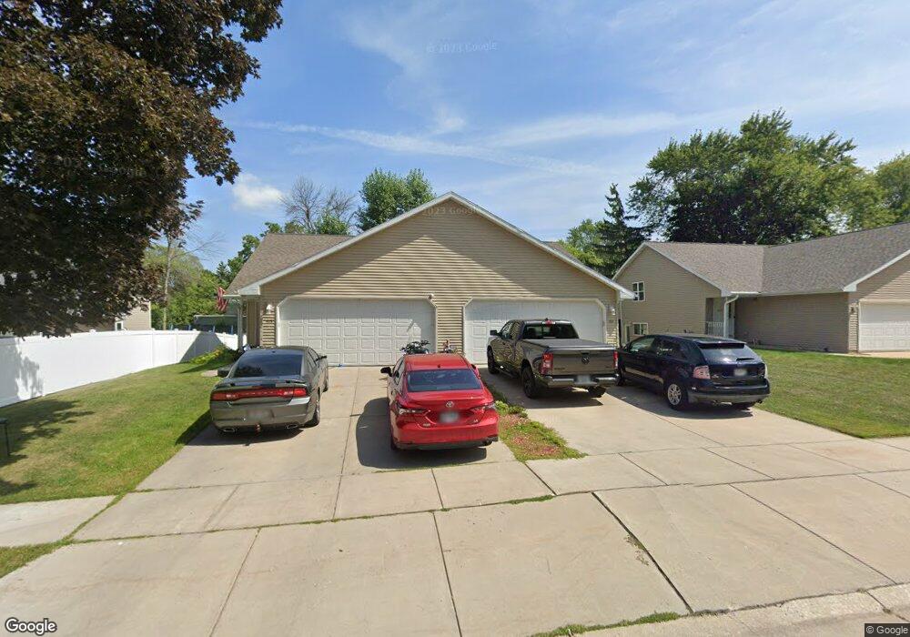
405 N Saint Bernard Dr Unit 407 de Pere, WI 54115
Estimated Value: $332,000 - $463,000
3
Beds
2
Baths
1,292
Sq Ft
$314/Sq Ft
Est. Value
About This Home
This home is located at 405 N Saint Bernard Dr Unit 407, de Pere, WI 54115 and is currently estimated at $405,557, approximately $313 per square foot. 405 N Saint Bernard Dr Unit 407 is a home located in Brown County with nearby schools including Susie C. Altmayer Elementary School, Foxview Intermediate School, and De Pere Middle School.
Ownership History
Date
Name
Owned For
Owner Type
Purchase Details
Closed on
Sep 24, 2012
Sold by
Soderlund Mark E and Fleming Michael P
Bought by
Sushkova Tanya
Current Estimated Value
Home Financials for this Owner
Home Financials are based on the most recent Mortgage that was taken out on this home.
Original Mortgage
$129,500
Outstanding Balance
$56,959
Interest Rate
3.66%
Mortgage Type
New Conventional
Estimated Equity
$348,598
Create a Home Valuation Report for This Property
The Home Valuation Report is an in-depth analysis detailing your home's value as well as a comparison with similar homes in the area
Home Values in the Area
Average Home Value in this Area
Purchase History
| Date | Buyer | Sale Price | Title Company |
|---|---|---|---|
| Sushkova Tanya | $185,000 | Title Revolution Llc |
Source: Public Records
Mortgage History
| Date | Status | Borrower | Loan Amount |
|---|---|---|---|
| Open | Sushkova Tanya | $129,500 |
Source: Public Records
Tax History Compared to Growth
Tax History
| Year | Tax Paid | Tax Assessment Tax Assessment Total Assessment is a certain percentage of the fair market value that is determined by local assessors to be the total taxable value of land and additions on the property. | Land | Improvement |
|---|---|---|---|---|
| 2024 | $3,806 | $247,200 | $37,700 | $209,500 |
| 2023 | $3,135 | $233,400 | $37,700 | $195,700 |
| 2022 | $2,877 | $203,100 | $37,700 | $165,400 |
| 2021 | $2,710 | $224,200 | $31,400 | $192,800 |
| 2020 | $2,764 | $210,100 | $31,400 | $178,700 |
| 2019 | $2,827 | $196,100 | $31,400 | $164,700 |
| 2018 | $3,113 | $189,800 | $31,400 | $158,400 |
| 2017 | $2,974 | $174,000 | $31,400 | $142,600 |
| 2016 | $3,014 | $174,000 | $31,400 | $142,600 |
| 2015 | $4,026 | $185,000 | $33,400 | $151,600 |
| 2014 | -- | $185,000 | $33,400 | $151,600 |
| 2013 | -- | $185,000 | $33,400 | $151,600 |
Source: Public Records
Map
Nearby Homes
- 830 S Superior St Unit 832
- 717 4th St
- 806 4th St
- 1120 Cardinal St
- 634 Grant St
- 416 Lansdowne St
- 410 Battery Ave
- 363 Battery Ave
- 1611 N Honeysuckle Cir
- 305 Battery Ave
- 385 Battery Ave
- 413 Brookline Ave
- 337 Battery Ave
- 400 Battery Ave
- 555 Main Ave Unit 110
- 555 Main Ave Unit 104
- 555 Main Ave Unit 111
- 555 Main Ave Unit 206
- 555 Main Ave Unit 113
- 318 S Webster Ave
- 1217 Fox River Dr
- 411 N Saint Bernard Dr Unit 413
- 1211 Fox River Dr
- 417 N Saint Bernard Dr Unit 419
- 406 N Saint Bernard Dr Unit 408
- 406 N St Bernard
- 417 N St Bernard St
- 417 N St Bernard
- 412 Wilcox Ct
- 414 N Saint Bernard Dr
- 412 N Saint Bernard Dr Unit 414
- 1207 Fox River Dr
- 1218 Fox River Dr
- 416 Wilcox Ct
- 1305 Fox River Dr
- 421 N Saint Bernard Dr Unit 423
- 1210 Fox River Dr
- 416 N Saint Bernard Dr Unit 418
- 1208 Fox River Dr
- 1250 Fox River Dr