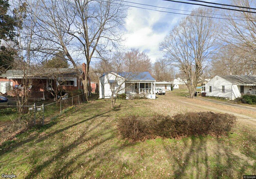
405 Nathan Hunt Dr High Point, NC 27260
Greater High Point NeighborhoodEstimated Value: $118,994 - $132,000
2
Beds
1
Bath
784
Sq Ft
$158/Sq Ft
Est. Value
About This Home
This home is located at 405 Nathan Hunt Dr, High Point, NC 27260 and is currently estimated at $123,999, approximately $158 per square foot. 405 Nathan Hunt Dr is a home located in Guilford County with nearby schools including Fairview Elementary School, Ferndale Middle School, and High Point Central High School.
Ownership History
Date
Name
Owned For
Owner Type
Purchase Details
Closed on
Apr 24, 1998
Sold by
Barnes Eva M and Barnes Eva M
Bought by
Barnes John Michael
Current Estimated Value
Home Financials for this Owner
Home Financials are based on the most recent Mortgage that was taken out on this home.
Original Mortgage
$37,200
Outstanding Balance
$7,062
Interest Rate
7.1%
Mortgage Type
Credit Line Revolving
Estimated Equity
$116,937
Create a Home Valuation Report for This Property
The Home Valuation Report is an in-depth analysis detailing your home's value as well as a comparison with similar homes in the area
Home Values in the Area
Average Home Value in this Area
Purchase History
| Date | Buyer | Sale Price | Title Company |
|---|---|---|---|
| Barnes John Michael | $500 | -- |
Source: Public Records
Mortgage History
| Date | Status | Borrower | Loan Amount |
|---|---|---|---|
| Open | Barnes John Michael | $37,200 |
Source: Public Records
Tax History Compared to Growth
Tax History
| Year | Tax Paid | Tax Assessment Tax Assessment Total Assessment is a certain percentage of the fair market value that is determined by local assessors to be the total taxable value of land and additions on the property. | Land | Improvement |
|---|---|---|---|---|
| 2025 | $666 | $48,300 | $10,000 | $38,300 |
| 2024 | $666 | $48,300 | $10,000 | $38,300 |
| 2023 | $666 | $48,300 | $10,000 | $38,300 |
| 2022 | $651 | $48,300 | $10,000 | $38,300 |
| 2021 | $499 | $36,200 | $10,000 | $26,200 |
| 2020 | $499 | $36,200 | $10,000 | $26,200 |
| 2019 | $499 | $36,200 | $0 | $0 |
| 2018 | $496 | $36,200 | $0 | $0 |
| 2017 | $496 | $36,200 | $0 | $0 |
| 2016 | $642 | $45,800 | $0 | $0 |
| 2015 | $646 | $45,800 | $0 | $0 |
| 2014 | $657 | $45,800 | $0 | $0 |
Source: Public Records
Map
Nearby Homes
- 1117 Jefferson St
- 312 Model Farm Rd
- 223 Jay Place
- 1010 Grace St
- 2109 Lowe Ave
- 1907 Apex Place
- 607 Martha Place
- 640 Wesley Dr
- 1605 Mossbrook Cir
- 1208 Anderson Place
- 912 Grace St
- 304 E Springfield Rd
- 400 E Springfield Rd
- 1222 Carter St
- 915 Park St
- 1215 E Russell Ave
- 4304 Griffins Gate Ln
- 1601 E Green Dr
- 707 Park St
- 1012 Meredith St
- 407 Nathan Hunt Dr
- 403 Nathan Hunt Dr
- 409 Nathan Hunt Dr
- 11111111 Nathan Hunt Dr
- 401 Nathan Hunt Dr
- 408 Player Dr
- 406 Player Dr
- 410 Player Dr
- 404 Player Dr
- 402 Player Dr
- 412 Player Dr
- 415 Nathan Hunt Dr
- 400 Player Dr
- 414 Player Dr
- 339 Nathan Hunt Dr
- 417 Nathan Hunt Dr
- 416 Player Dr
- 330 Player Dr
- 337 Nathan Hunt Dr
- 419 Nathan Hunt Dr