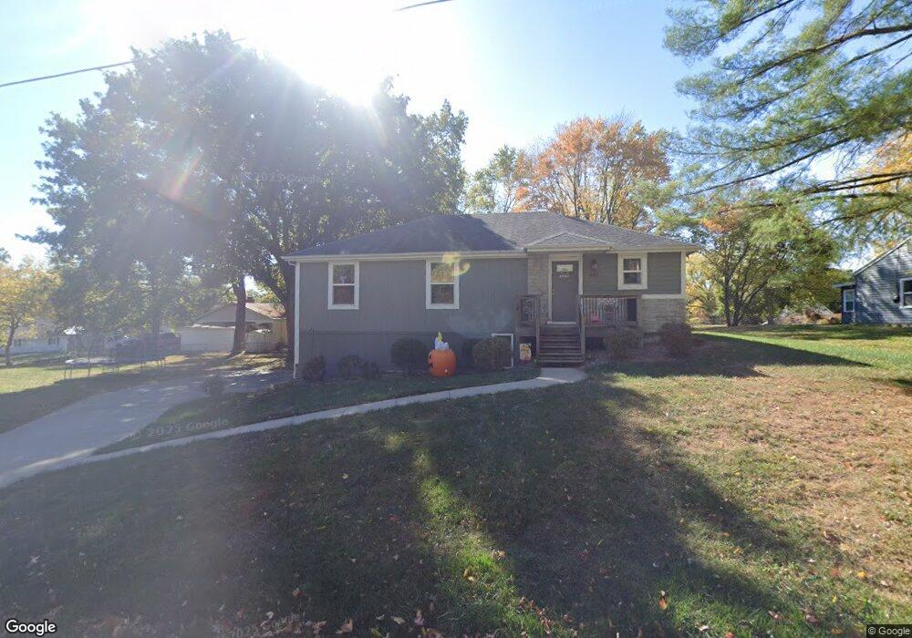
405 Norton Ave Liberty, MO 64068
Estimated Value: $297,756 - $380,000
About This Home
This home is located at 405 Norton Ave, Liberty, MO 64068 and is currently estimated at $328,189, approximately $260 per square foot. 405 Norton Ave is a home located in Clay County with nearby schools including Alexander Doniphan Elementary School, Discovery Middle School, and Liberty High School.
Ownership History
We collect this data history from publicly available records. To have your information removed, we recommend requesting removal directly through your county’s website.
Purchase Details
Purchase Details
Home Financials for this Owner
Home Financials are based on the most recent Mortgage that was taken out on this home.Home Values in the Area
Average Home Value in this Area
Purchase History
We collect this data history from publicly available records. To have your information removed, we recommend requesting removal directly through your county’s website.
| Date | Buyer | Sale Price | Title Company |
|---|---|---|---|
| -- | None Listed On Document | ||
| -- | Thomson Affinity Title Llc |
Mortgage History
We collect this data history from publicly available records. To have your information removed, we recommend requesting removal directly through your county’s website.
| Date | Status | Borrower | Loan Amount |
|---|---|---|---|
| Previous Owner | $136,800 |
Tax History
We collect this data history from publicly available records. To have your information removed, we recommend requesting removal directly through your county’s website.
| Year | Tax Paid | Tax Assessment Tax Assessment Total Assessment is a certain percentage of the fair market value that is determined by local assessors to be the total taxable value of land and additions on the property. | Land | Improvement |
|---|---|---|---|---|
| 2025 | $2,933 | $42,310 | -- | -- |
| 2024 | $2,731 | $36,990 | -- | -- |
| 2023 | $2,771 | $36,990 | $0 | $0 |
| 2022 | $2,599 | $34,300 | $0 | $0 |
| 2021 | $2,609 | $34,295 | $5,624 | $28,671 |
| 2020 | $2,613 | $32,410 | $0 | $0 |
| 2019 | $2,615 | $32,414 | $5,985 | $26,429 |
| 2018 | $2,120 | $25,800 | $0 | $0 |
| 2017 | $2,097 | $25,800 | $3,080 | $22,720 |
| 2016 | $2,097 | $25,800 | $3,080 | $22,720 |
| 2015 | $2,097 | $25,800 | $3,080 | $22,720 |
| 2014 | $2,273 | $27,910 | $3,080 | $24,830 |
Map
- 1830 Parkside Dr
- 1561 Parkside Dr
- 2149 Black Walnut Dr
- 1820 Homestead Dr
- 1824 Homestead Dr
- 1849 Arbor Trail
- 2153 Black Walnut Dr
- 2152 Black Walnut Dr
- 1975 Harvest Rd
- 1836 Green Meadow Dr
- 1813 Homestead Dr
- 1617 Welleslay Ln
- 1500 Amesbury Ave
- 1972 Longview Dr
- 1961 Longview Dr
- 1921 Longview Dr
- 1925 Longview Dr
- 1909 Longview Dr
- 1945 Longview Dr
- 2133 Winding Woods Dr
- 302 Campbell Dr
- 300 Campbell Dr
- 403 Norton Ave
- 404 Norton Ave
- 406 Norton Ave
- 402 Norton Ave
- 401 Norton Ave
- 304 Campbell Dr
- 400 Norton Ave
- 303 Bonnie Ln
- 301 Campbell Dr
- 213 Campbell Dr
- 303 Campbell Dr
- 215 Campbell Dr
- 305 Campbell Dr
- 306 Campbell Dr
- 210 Campbell Dr
- 305 Norton Ave
- 300 Bonnie Ln
- 306 Norton Ave
Ask me questions while you tour the home.