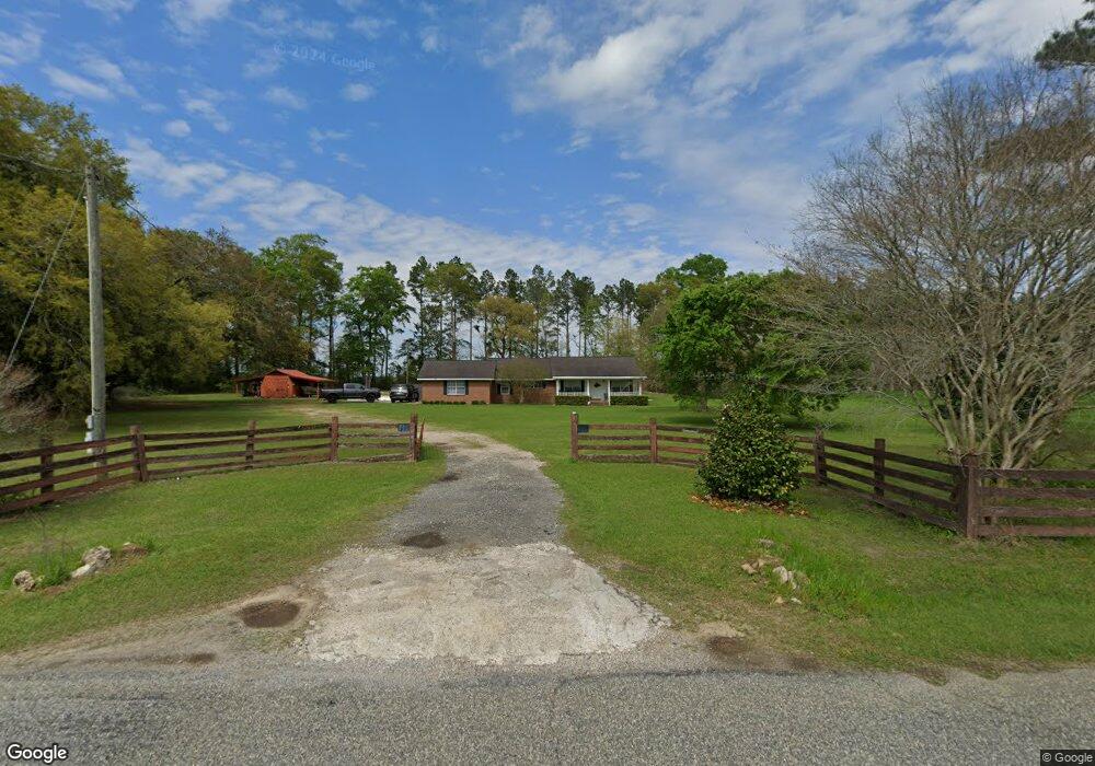
405 Providence Rd Whigham, GA 39897
Estimated Value: $212,000 - $330,000
3
Beds
2
Baths
1,491
Sq Ft
$174/Sq Ft
Est. Value
About This Home
This home is located at 405 Providence Rd, Whigham, GA 39897 and is currently estimated at $259,251, approximately $173 per square foot. 405 Providence Rd is a home.
Ownership History
Date
Name
Owned For
Owner Type
Purchase Details
Closed on
Feb 22, 2019
Sold by
Brooks Barabara M
Bought by
Harrell Cody and Harrell Shelby
Current Estimated Value
Home Financials for this Owner
Home Financials are based on the most recent Mortgage that was taken out on this home.
Original Mortgage
$127,152
Outstanding Balance
$111,838
Interest Rate
4.62%
Mortgage Type
FHA
Estimated Equity
$147,413
Purchase Details
Closed on
May 19, 2015
Sold by
Davis Pat
Bought by
Fowler Randy
Purchase Details
Closed on
Mar 19, 1992
Sold by
Burton Steven C and Burton Donna C
Bought by
Davis Jack and Davis Pat
Create a Home Valuation Report for This Property
The Home Valuation Report is an in-depth analysis detailing your home's value as well as a comparison with similar homes in the area
Purchase History
| Date | Buyer | Sale Price | Title Company |
|---|---|---|---|
| Harrell Cody | $129,500 | -- | |
| Fowler Randy | $16,720 | -- | |
| Davis Jack | $16,000 | -- | |
| Davis Pat | -- | -- |
Source: Public Records
Mortgage History
| Date | Status | Borrower | Loan Amount |
|---|---|---|---|
| Open | Harrell Cody | $127,152 |
Source: Public Records
Tax History
| Year | Tax Paid | Tax Assessment Tax Assessment Total Assessment is a certain percentage of the fair market value that is determined by local assessors to be the total taxable value of land and additions on the property. | Land | Improvement |
|---|---|---|---|---|
| 2024 | $2,195 | $84,438 | $6,242 | $78,196 |
| 2023 | $1,463 | $47,528 | $4,014 | $43,514 |
| 2022 | $1,463 | $47,528 | $4,014 | $43,514 |
| 2021 | $1,468 | $47,528 | $4,014 | $43,514 |
| 2020 | $1,473 | $47,528 | $4,014 | $43,514 |
| 2019 | $1,473 | $47,528 | $4,014 | $43,514 |
| 2018 | $1,383 | $47,528 | $4,014 | $43,514 |
| 2017 | $1,123 | $47,528 | $4,014 | $43,514 |
| 2016 | $941 | $40,839 | $4,014 | $36,826 |
| 2015 | $1,051 | $45,383 | $8,558 | $36,826 |
| 2014 | $1,051 | $45,383 | $8,558 | $36,826 |
| 2013 | -- | $42,673 | $9,781 | $32,892 |
Source: Public Records
Map
Nearby Homes
- 267 Providence Rd
- 274 Barrineau Rd
- 723 Providence Rd
- 206 Lodge Ln
- 384 Cleon Waldrop Rd
- 0 Jowers Rd
- 1718 Old 179 S
- 0 Upper Hawthorne Trail
- Jowers Rd
- 1137 Summerfield
- 00 Lake Douglas
- Lot 27 W Lake Dr
- 00 Tired Creek Rd
- 1520 Upper Hawthorne Trail
- 1382 Lake Front Dr
- 171 Council Ln
- 1808 Upper Hawthorne Trail
- 000 1st Ave SW
- Lot 1 Crine Blvd
- 1293 McQuaig St NW
- 00 Providence Road 5 49 Acres
- 111 Lacy Rd
- 508 Providence Rd
- 298 Providence Rd
- 157 Lacy Rd
- 179 Lacy Rd
- 229 Providence Rd
- 3520 Collins Rd
- 197 Lacy Rd
- 173 Lacy Rd
- 214 Providence Rd
- 210 Providence Rd
- 0 Collins Rd
- 0000 Collins Rd
- 3496 Collins Rd
- 3476 Collins Rd
- 000 Providence Rd
- 210 Durham Ln
- 3750 Collins Rd
- 640 Providence Rd
Your Personal Tour Guide
Ask me questions while you tour the home.