405 Reynolds Rd Branchville, SC 29432
Estimated Value: $31,428 - $157,000
3
Beds
2
Baths
3,049
Sq Ft
$31/Sq Ft
Est. Value
About This Home
This home is located at 405 Reynolds Rd, Branchville, SC 29432 and is currently estimated at $94,214, approximately $30 per square foot. 405 Reynolds Rd is a home located in Orangeburg County with nearby schools including Lockett Elementary, Lockett Elementary School, and Branchville High School.
Ownership History
Date
Name
Owned For
Owner Type
Purchase Details
Closed on
Jun 12, 2014
Sold by
Coleman Victoria B
Bought by
Rynes Ashley S
Current Estimated Value
Purchase Details
Closed on
May 29, 2012
Sold by
Snelgrove Julian M and Snelgrove Nancy M
Bought by
Coleman Victoria B
Purchase Details
Closed on
Aug 17, 2011
Sold by
Federal National Mortgage Association
Bought by
Snelgrove Julian M and Snelgrove Nancy M
Purchase Details
Closed on
Aug 2, 2011
Sold by
Benton David A
Bought by
Federal National Mortgage Association
Create a Home Valuation Report for This Property
The Home Valuation Report is an in-depth analysis detailing your home's value as well as a comparison with similar homes in the area
Home Values in the Area
Average Home Value in this Area
Purchase History
| Date | Buyer | Sale Price | Title Company |
|---|---|---|---|
| Rynes Ashley S | $16,000 | -- | |
| Coleman Victoria B | $13,500 | -- | |
| Snelgrove Julian M | $10,000 | -- | |
| Federal National Mortgage Association | $92,309 | -- |
Source: Public Records
Tax History Compared to Growth
Tax History
| Year | Tax Paid | Tax Assessment Tax Assessment Total Assessment is a certain percentage of the fair market value that is determined by local assessors to be the total taxable value of land and additions on the property. | Land | Improvement |
|---|---|---|---|---|
| 2024 | $325 | $800 | $800 | $0 |
| 2023 | $282 | $684 | $684 | $0 |
| 2022 | $279 | $684 | $684 | $0 |
| 2021 | $277 | $684 | $684 | $0 |
| 2020 | $255 | $456 | $0 | $0 |
| 2019 | $247 | $456 | $0 | $0 |
| 2018 | $259 | $456 | $0 | $0 |
| 2017 | $255 | $456 | $0 | $0 |
| 2016 | $256 | $456 | $0 | $0 |
| 2015 | $242 | $456 | $0 | $0 |
| 2014 | $242 | $456 | $456 | $0 |
| 2013 | -- | $3,984 | $456 | $3,528 |
Source: Public Records
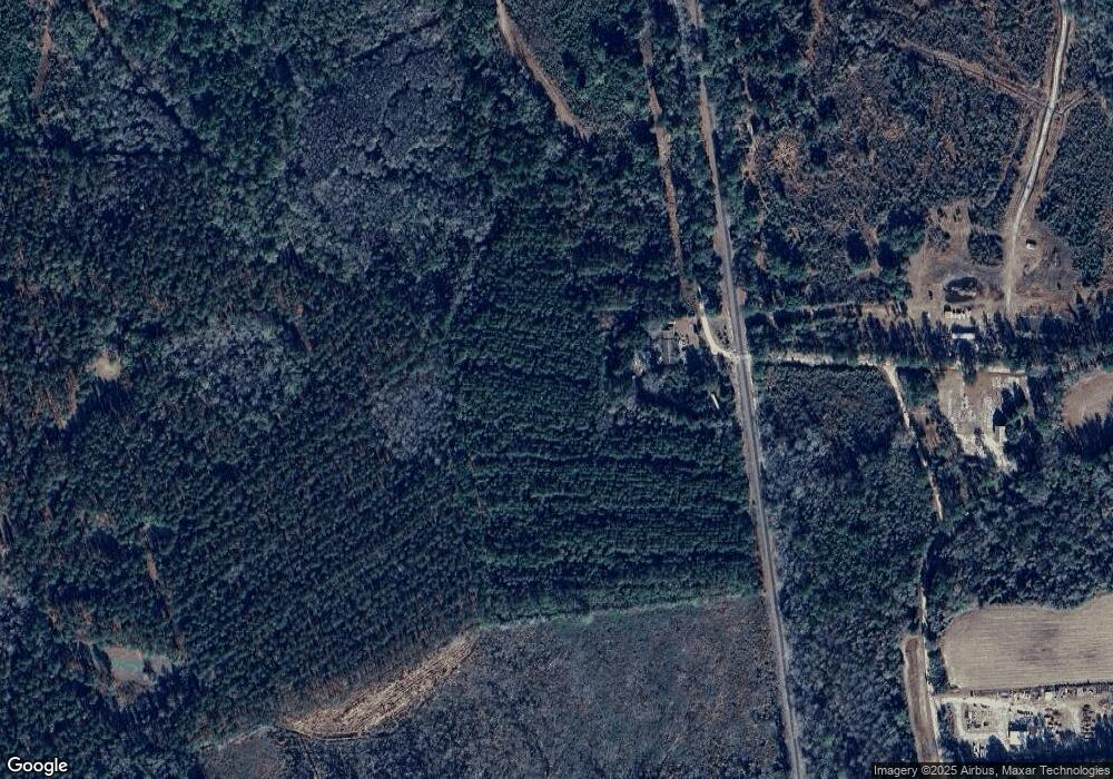
Map
Nearby Homes
- 0 Calhoun St Unit 25018526
- 0 Calhoun St Unit 170350
- 323 Railroad Ave
- 00 Freedom Rd
- 1 Freedom Rd
- TBD Ellis St
- 281 Bridge St
- 360 Bridge St
- 1373 Bridge St
- 5837 Freedom Rd
- 0 Highway 210 Unit 24752850
- 496 O C 4148
- 4756 Edisto River Rd
- 2958 Heritage Hwy
- Rd
- 4534 Cattle Creek Rd
- 1 Parnel Rd
- 646 Briar Creek Rd
- 668 Briar Creek Rd
- 1307 Dusty Rd
- 165 Sardis Church Rd
- 6650 Freedom Rd
- 6816 Freedom Rd
- 6816 Freedom Rd
- 6743 Freedom Rd
- 6810 Freedom Rd
- 6830 Freedom Rd
- 3695 Calhoun St
- 3701 Calhoun St
- 6847 Freedom Rd
- 6841 Freedom Rd
- 219 Sardis Church Rd
- 00 Off Calhoun St
- 330 Sardis Church Rd
- 0 Calhoun St Unit 903934
- 0 Calhoun St Unit 2831583
- 0 Calhoun St Unit 2833261
- 0 Calhoun St Unit 16020390
- 0 Calhoun St Unit 16024776
- 0 Calhoun St Unit 43905