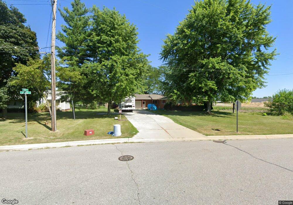
405 S 2nd St Freeland, MI 48623
Freeland NeighborhoodEstimated Value: $187,000 - $216,000
3
Beds
2
Baths
1,542
Sq Ft
$134/Sq Ft
Est. Value
About This Home
This home is located at 405 S 2nd St, Freeland, MI 48623 and is currently estimated at $206,162, approximately $133 per square foot. 405 S 2nd St is a home located in Saginaw County with nearby schools including Freeland Learning Center, Freeland Elementary School, and Freeland Middle/High School.
Ownership History
Date
Name
Owned For
Owner Type
Purchase Details
Closed on
Jan 29, 2010
Sold by
Mcinnis Linda A
Bought by
Rawlings Jason H and Rawlings Tracy A
Current Estimated Value
Home Financials for this Owner
Home Financials are based on the most recent Mortgage that was taken out on this home.
Original Mortgage
$99,000
Outstanding Balance
$65,423
Interest Rate
5%
Mortgage Type
Purchase Money Mortgage
Estimated Equity
$140,739
Purchase Details
Closed on
Oct 10, 2006
Sold by
Strecker Alexander
Bought by
Strecker Trust No 1
Create a Home Valuation Report for This Property
The Home Valuation Report is an in-depth analysis detailing your home's value as well as a comparison with similar homes in the area
Home Values in the Area
Average Home Value in this Area
Purchase History
| Date | Buyer | Sale Price | Title Company |
|---|---|---|---|
| Rawlings Jason H | $110,000 | -- | |
| Strecker Trust No 1 | -- | -- |
Source: Public Records
Mortgage History
| Date | Status | Borrower | Loan Amount |
|---|---|---|---|
| Open | Rawlings Jason H | $99,000 |
Source: Public Records
Tax History
| Year | Tax Paid | Tax Assessment Tax Assessment Total Assessment is a certain percentage of the fair market value that is determined by local assessors to be the total taxable value of land and additions on the property. | Land | Improvement |
|---|---|---|---|---|
| 2025 | $720 | $99,400 | $0 | $0 |
| 2024 | $699 | $90,900 | $0 | $0 |
| 2023 | $666 | $74,400 | $0 | $0 |
| 2022 | $2,114 | $70,200 | $0 | $0 |
| 2021 | $1,940 | $67,700 | $0 | $0 |
| 2020 | $1,877 | $60,400 | $0 | $0 |
| 2019 | $1,817 | $54,200 | $0 | $0 |
| 2018 | $582 | $55,300 | $0 | $0 |
| 2017 | $1,643 | $54,700 | $0 | $0 |
| 2016 | $1,630 | $54,600 | $0 | $0 |
| 2014 | -- | $57,000 | $0 | $41,700 |
| 2013 | -- | $56,400 | $0 | $0 |
Source: Public Records
Map
Nearby Homes
- 286 Church St
- 923 Wheelock St
- 8233 Midland Rd
- 11050 Wilkinson Rd
- 11103 Thornberry Dr
- 8441 Cottonwood Dr
- 11272 Robin Meadows
- 8643 Ashland Place
- 8657 Foxtail Trail
- 8674 Oakhill Dr
- 8884 Copper Ct
- 10360 Laurel Woods Place
- V/L Mielke Rd
- 10606 Tall Pine Ln
- 6728 N River Rd
- #22 Eagle Forest Dr
- #18 Eagle Forest Dr
- #21 Eagle Forest Dr
- 7849 Rockcress Dr
- 9 Sanctuary Way Unit 9
Your Personal Tour Guide
Ask me questions while you tour the home.