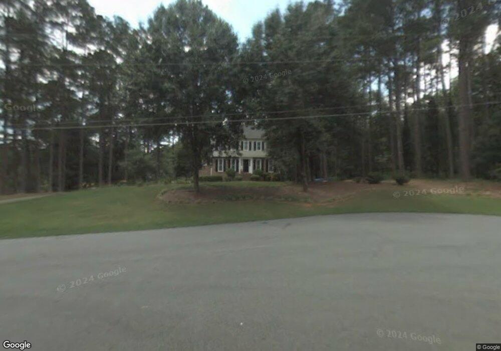
405 Unicoi Ct Woodstock, GA 30188
Union Hill NeighborhoodEstimated Value: $463,465 - $519,000
4
Beds
3
Baths
2,181
Sq Ft
$219/Sq Ft
Est. Value
About This Home
This home is located at 405 Unicoi Ct, Woodstock, GA 30188 and is currently estimated at $478,616, approximately $219 per square foot. 405 Unicoi Ct is a home located in Cherokee County with nearby schools including Mountain Road Elementary School, Rusk Middle School, and Sequoyah High School.
Ownership History
Date
Name
Owned For
Owner Type
Purchase Details
Closed on
Aug 6, 2015
Sold by
Lingerfelt Norwood L
Bought by
Joint Norwood and Joint Carolyn
Current Estimated Value
Purchase Details
Closed on
May 28, 2004
Sold by
Norres Randy N and Norres Joyce
Bought by
Linerfelt Norwood L and Linerfelt Carolyn
Home Financials for this Owner
Home Financials are based on the most recent Mortgage that was taken out on this home.
Original Mortgage
$144,900
Interest Rate
5.98%
Mortgage Type
New Conventional
Create a Home Valuation Report for This Property
The Home Valuation Report is an in-depth analysis detailing your home's value as well as a comparison with similar homes in the area
Home Values in the Area
Average Home Value in this Area
Purchase History
| Date | Buyer | Sale Price | Title Company |
|---|---|---|---|
| Joint Norwood | -- | -- | |
| Linerfelt Norwood L | $199,900 | -- |
Source: Public Records
Mortgage History
| Date | Status | Borrower | Loan Amount |
|---|---|---|---|
| Previous Owner | Linerfelt Norwood L | $144,900 |
Source: Public Records
Tax History Compared to Growth
Tax History
| Year | Tax Paid | Tax Assessment Tax Assessment Total Assessment is a certain percentage of the fair market value that is determined by local assessors to be the total taxable value of land and additions on the property. | Land | Improvement |
|---|---|---|---|---|
| 2025 | $886 | $164,856 | $32,000 | $132,856 |
| 2024 | $857 | $158,776 | $32,000 | $126,776 |
| 2023 | $3,288 | $161,096 | $32,000 | $129,096 |
| 2022 | $3,098 | $129,656 | $26,000 | $103,656 |
| 2021 | $3,011 | $114,776 | $26,000 | $88,776 |
| 2020 | $2,826 | $106,696 | $22,800 | $83,896 |
| 2019 | $2,557 | $95,120 | $21,200 | $73,920 |
| 2018 | $2,414 | $88,400 | $21,200 | $67,200 |
| 2017 | $2,380 | $215,500 | $20,600 | $65,600 |
| 2016 | $2,244 | $198,500 | $20,600 | $58,800 |
| 2015 | $1,976 | $173,800 | $18,000 | $51,520 |
| 2014 | $1,811 | $159,400 | $14,800 | $48,960 |
Source: Public Records
Map
Nearby Homes
- 130 Junaluska Dr
- 877 Arnold Mill Rd
- 104 Lenore Ct
- 533 Mountain Rd
- 0 Tribal Trail Unit 7650851
- 0 Tribal Trail Unit 10609732
- 210 River Laurel Way
- 619 Stoney Creek Rd
- 4706 Waters Rd
- 102 Gardenia Trail
- 107 Crown Ln
- 303 River Laurel Way
- 1058 Arnold Mill Rd
- 778 Arnold Mill Rd
- 234 Aberdeen Way
- 239 Aberdeen Way
- 930 Shepards Ct
- 1799 Mountain Farm Rd
- 232 Waters Lake Dr
- 403 Unicoi Ct
- 406 Unicoi Ct
- 402 Unicoi Ct
- 404 Unicoi Ct
- 109 Junaluska Dr
- 400 Unicoi Ct
- 113 Junaluska Dr
- 112 Junaluska Dr
- 906 Arnold Mill Rd
- 114 Junaluska Dr
- 110 Junaluska Dr
- 1660 Rock Springs Ln
- 115 Junaluska Dr
- 105 Junaluska Dr
- 116 Junaluska Dr
- 108 Junaluska Dr
- 904 Arnold Mill Rd
- 119 Junaluska Dr
- 894 Arnold Mill Rd
- 117 Junaluska Dr