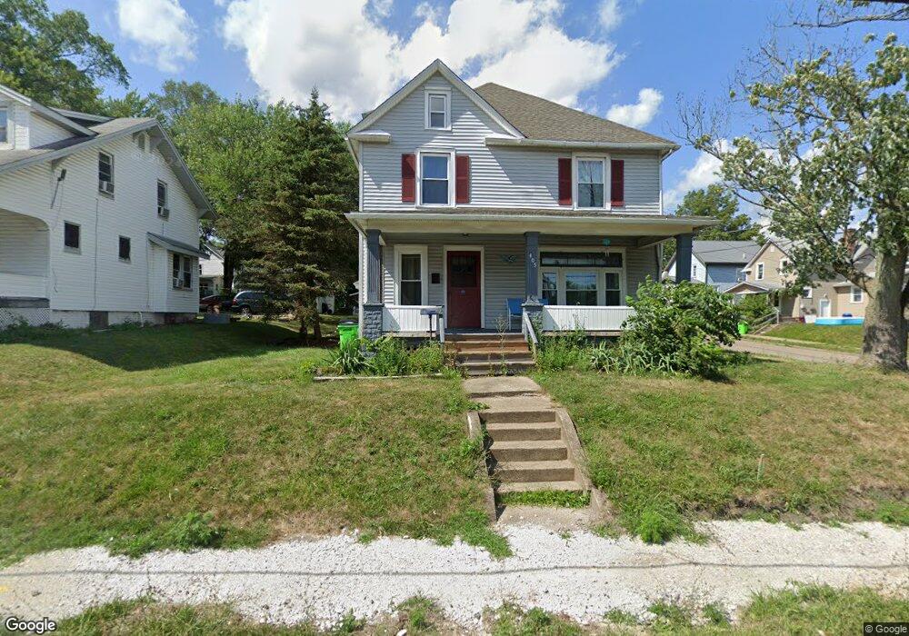
405 W Cambridge St Alliance, OH 44601
Estimated Value: $97,000 - $129,000
4
Beds
1
Bath
1,568
Sq Ft
$71/Sq Ft
Est. Value
About This Home
This home is located at 405 W Cambridge St, Alliance, OH 44601 and is currently estimated at $110,921, approximately $70 per square foot. 405 W Cambridge St is a home located in Stark County with nearby schools including Alliance Early Learning School, Alliance Intermediate School at Northside, and Alliance Middle School.
Ownership History
Date
Name
Owned For
Owner Type
Purchase Details
Closed on
Jan 24, 2018
Bought by
Alliance For Children & Families In
Current Estimated Value
Purchase Details
Closed on
Aug 29, 2017
Sold by
Stark County Land Reutilization Corporti
Bought by
City Of Alliance Land Reutilization Prog
Purchase Details
Closed on
Jul 31, 2017
Sold by
Kerr Marilyn J
Bought by
Stark County Land Reutilization Corporat
Create a Home Valuation Report for This Property
The Home Valuation Report is an in-depth analysis detailing your home's value as well as a comparison with similar homes in the area
Home Values in the Area
Average Home Value in this Area
Purchase History
| Date | Buyer | Sale Price | Title Company |
|---|---|---|---|
| Alliance For Children & Families In | -- | -- | |
| City Of Alliance Land Reutilization Prog | -- | None Available | |
| Stark County Land Reutilization Corporat | -- | None Available |
Source: Public Records
Tax History Compared to Growth
Tax History
| Year | Tax Paid | Tax Assessment Tax Assessment Total Assessment is a certain percentage of the fair market value that is determined by local assessors to be the total taxable value of land and additions on the property. | Land | Improvement |
|---|---|---|---|---|
| 2025 | -- | $23,840 | $6,550 | $17,290 |
| 2024 | -- | $23,840 | $6,550 | $17,290 |
| 2023 | $748 | $18,170 | $6,130 | $12,040 |
| 2022 | $753 | $18,170 | $6,130 | $12,040 |
| 2021 | $810 | $18,170 | $6,130 | $12,040 |
| 2020 | $725 | $16,310 | $5,320 | $10,990 |
| 2019 | $179 | $16,310 | $5,320 | $10,990 |
| 2018 | $0 | $16,310 | $5,320 | $10,990 |
| 2017 | $956 | $13,800 | $4,310 | $9,490 |
| 2016 | $6,892 | $14,850 | $4,310 | $10,540 |
| 2015 | $660 | $14,850 | $4,310 | $10,540 |
| 2014 | $997 | $15,130 | $4,380 | $10,750 |
| 2013 | $1,064 | $15,130 | $4,380 | $10,750 |
Source: Public Records
Map
Nearby Homes
- 645 W Summit St
- 725 W Summit St
- 734 Parkway Blvd
- 565 W Broadway St
- 140 W Summit St
- 345 W Market St
- 132 S Haines Ave
- 896 Parkway Blvd
- 163 W Market St
- 427 S Union Ave
- 329 1/2 W Main St
- 738 Kingsway St
- 807 S Union Ave
- 970 Kingsway St
- 511 W Ely St
- 1038 Fairview Place
- 1321 Parkway Blvd
- 356 E Broadway St
- 432 S Linden Ave
- 452 E Summit St
- 419 W Cambridge St
- 535 S Mckinley Ave
- 355 W Cambridge St
- 402 W Cambridge St
- 530 S Mckinley Ave
- 429 W Cambridge St
- 521 S Mckinley Ave
- 345 W Cambridge St
- 410 W Cambridge St
- 437 W Cambridge St
- 520 S Mckinley Ave
- 418 W Cambridge St
- 335 W Cambridge St
- 352 W Cambridge St
- 430 W Oxford St
- 428 W Cambridge St
- 346 W Cambridge St
- 445 W Cambridge St
- 505 S Mckinley Ave
- 352 W Oxford St