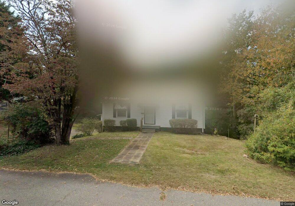
405 Walnut St Walhalla, SC 29691
Estimated Value: $137,000 - $183,000
2
Beds
1
Bath
1,054
Sq Ft
$153/Sq Ft
Est. Value
About This Home
This home is located at 405 Walnut St, Walhalla, SC 29691 and is currently estimated at $160,952, approximately $152 per square foot. 405 Walnut St is a home located in Oconee County with nearby schools including James M. Brown Elementary School, Walhalla Middle School, and Walhalla High School.
Ownership History
Date
Name
Owned For
Owner Type
Purchase Details
Closed on
Jun 21, 2024
Sold by
Shaw Tracy and Cannon Tracy Michelle
Bought by
Luna Emili Christiana and Luna Peggy Sue
Current Estimated Value
Home Financials for this Owner
Home Financials are based on the most recent Mortgage that was taken out on this home.
Original Mortgage
$97,750
Outstanding Balance
$96,433
Interest Rate
7.09%
Mortgage Type
Construction
Estimated Equity
$64,519
Purchase Details
Closed on
May 18, 2023
Sold by
Owens Melvin C
Bought by
Cannon Tracy
Create a Home Valuation Report for This Property
The Home Valuation Report is an in-depth analysis detailing your home's value as well as a comparison with similar homes in the area
Home Values in the Area
Average Home Value in this Area
Purchase History
| Date | Buyer | Sale Price | Title Company |
|---|---|---|---|
| Luna Emili Christiana | $115,000 | None Listed On Document | |
| Cannon Tracy | -- | None Listed On Document | |
| Cannon Tracy | -- | None Listed On Document |
Source: Public Records
Mortgage History
| Date | Status | Borrower | Loan Amount |
|---|---|---|---|
| Open | Luna Emili Christiana | $97,750 |
Source: Public Records
Tax History
| Year | Tax Paid | Tax Assessment Tax Assessment Total Assessment is a certain percentage of the fair market value that is determined by local assessors to be the total taxable value of land and additions on the property. | Land | Improvement |
|---|---|---|---|---|
| 2025 | $870 | $4,513 | $326 | $4,187 |
| 2024 | $554 | $2,903 | $404 | $2,499 |
| 2023 | $543 | $2,903 | $404 | $2,499 |
| 2022 | $543 | $2,903 | $404 | $2,499 |
| 2021 | $99 | $2,777 | $404 | $2,373 |
| 2020 | $85 | $2,777 | $404 | $2,373 |
| 2019 | $85 | $0 | $0 | $0 |
| 2018 | $609 | $0 | $0 | $0 |
| 2017 | $99 | $0 | $0 | $0 |
| 2016 | $99 | $0 | $0 | $0 |
| 2015 | -- | $0 | $0 | $0 |
| 2014 | -- | $2,530 | $517 | $2,014 |
| 2013 | -- | $0 | $0 | $0 |
Source: Public Records
Map
Nearby Homes
- 00 W North Broad St
- 310 N Church St
- 804 W North Broad St
- 606 W South Broad St
- 384 E Woodland Dr
- 107 S Laurel St
- 109 S Laurel St
- 524 S Lovingood Ave
- 223 N Dogwood Dr
- 00 Abbott Ln
- 318 S Pine St
- 606 N Poplar St
- 2015 Highlands Hwy
- 304 S Spring St
- 235 Meadowlark Dr
- 602 S Tugaloo St
- 101 Hazelwood Way
- 320 Jaynes St
- 231 Lakeside Dr
- 00 Keowee St
Your Personal Tour Guide
Ask me questions while you tour the home.