4050 W 1200 N Fillmore, UT 84631
Estimated Value: $173,000 - $602,000
--
Bed
--
Bath
--
Sq Ft
35.96
Acres
About This Home
This home is located at 4050 W 1200 N, Fillmore, UT 84631 and is currently estimated at $387,500. 4050 W 1200 N is a home.
Ownership History
Date
Name
Owned For
Owner Type
Purchase Details
Closed on
Mar 24, 2005
Sold by
Wardle Jason T
Bought by
Wardle Jason T and Wardle Andrea
Current Estimated Value
Purchase Details
Closed on
Mar 23, 2005
Sold by
Allbuild Construction Inc
Bought by
Wardle Jason T
Purchase Details
Closed on
Feb 25, 2005
Sold by
Mueller Janet L and Mueller Janet Lee
Bought by
Innovative Products & Manufacturing Llc
Create a Home Valuation Report for This Property
The Home Valuation Report is an in-depth analysis detailing your home's value as well as a comparison with similar homes in the area
Home Values in the Area
Average Home Value in this Area
Purchase History
| Date | Buyer | Sale Price | Title Company |
|---|---|---|---|
| Wardle Jason T | -- | First American Title Insuran | |
| Wardle Jason T | -- | First American Title Insuran | |
| Allbuild Construction Inc | -- | First American Title Insuran | |
| Innovative Products & Manufacturing Llc | -- | -- |
Source: Public Records
Tax History Compared to Growth
Tax History
| Year | Tax Paid | Tax Assessment Tax Assessment Total Assessment is a certain percentage of the fair market value that is determined by local assessors to be the total taxable value of land and additions on the property. | Land | Improvement |
|---|---|---|---|---|
| 2025 | $3,067 | $408,235 | $86,373 | $321,862 |
| 2024 | $3,067 | $414,302 | $74,056 | $340,246 |
| 2023 | $3,525 | $414,302 | $74,056 | $340,246 |
| 2022 | $2,265 | $216,861 | $33,852 | $183,009 |
| 2021 | $1,859 | $171,878 | $24,936 | $146,942 |
| 2020 | $1,757 | $164,523 | $24,336 | $140,187 |
| 2019 | $1,618 | $152,754 | $24,336 | $128,418 |
| 2018 | $1,587 | $153,759 | $24,336 | $129,423 |
| 2017 | $1,627 | $150,459 | $21,036 | $129,423 |
| 2016 | $1,552 | $150,459 | $21,036 | $129,423 |
| 2015 | $1,473 | $142,855 | $21,036 | $121,819 |
| 2014 | -- | $140,369 | $18,550 | $121,819 |
| 2013 | -- | $140,369 | $18,550 | $121,819 |
Source: Public Records
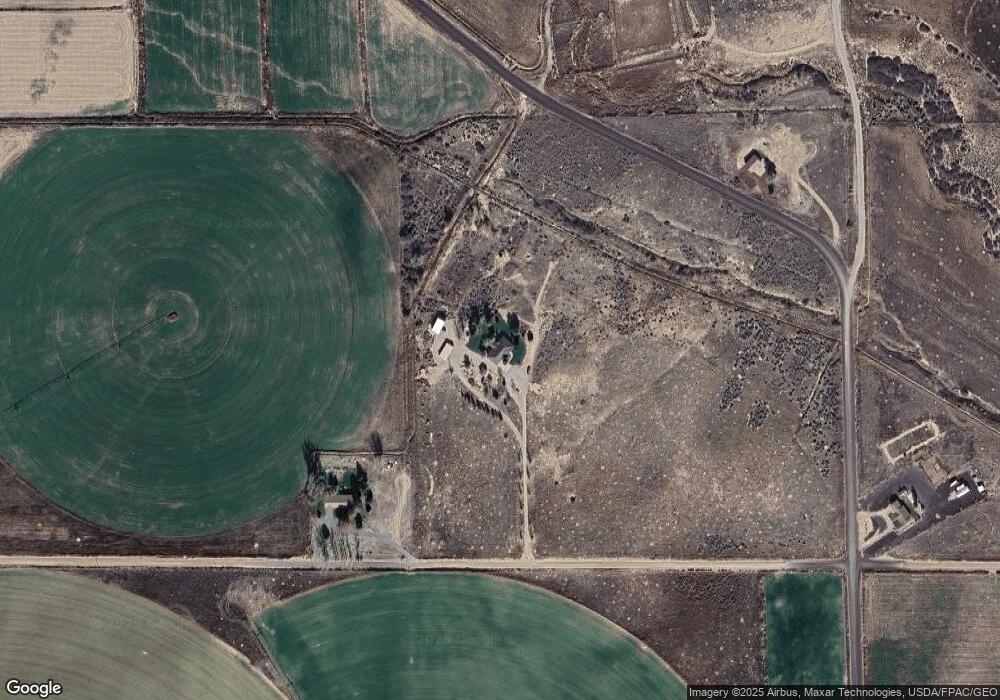
Map
Nearby Homes
- 7500 N 3900 Rd W
- 1360 N 3900 West Rd
- 400 W 2600 North St
- 2000 N West Frontage I-15
- 3700 W 5800 N
- 205 N 100 E
- 410 W 400 N
- 1565 W Sunflower Ln Unit 3
- 1615 W Sunflower Ln
- 1615 W Sunflower Ln Unit 4
- 1565 W Sunflower Ln
- 335 W 400 North St
- 310 S 500 West Rd
- 380 N 200 St W
- 225 W 200 St N
- 2155 N Cedar Mountain Rd
- 2835 N Cedar Mountain Rd
- 1100 S 725 Rd W
- 295 N 100 West St
- 390 N 100 W