4051 Old Uwharrie Rd Asheboro, NC 27205
Estimated Value: $149,801 - $259,000
--
Bed
1
Bath
1,232
Sq Ft
$154/Sq Ft
Est. Value
About This Home
This home is located at 4051 Old Uwharrie Rd, Asheboro, NC 27205 and is currently estimated at $190,200, approximately $154 per square foot. 4051 Old Uwharrie Rd is a home located in Randolph County with nearby schools including Sycamore Elementary School, Farmer Elementary School, and Uwharrie Ridge Six-Twelve.
Ownership History
Date
Name
Owned For
Owner Type
Purchase Details
Closed on
Aug 30, 2021
Sold by
Garner Billy Ray and Garner Sue Ellen
Bought by
Evans Kimberly Dawn
Current Estimated Value
Home Financials for this Owner
Home Financials are based on the most recent Mortgage that was taken out on this home.
Original Mortgage
$91,200
Outstanding Balance
$82,804
Interest Rate
2.8%
Mortgage Type
New Conventional
Estimated Equity
$107,396
Purchase Details
Closed on
Jun 23, 2010
Sold by
Garner James and Garner Betty
Bought by
Crisp Letha G
Create a Home Valuation Report for This Property
The Home Valuation Report is an in-depth analysis detailing your home's value as well as a comparison with similar homes in the area
Home Values in the Area
Average Home Value in this Area
Purchase History
| Date | Buyer | Sale Price | Title Company |
|---|---|---|---|
| Evans Kimberly Dawn | $114,000 | None Available | |
| Crisp Letha G | -- | None Available | |
| Garner Billy Ray | -- | None Available |
Source: Public Records
Mortgage History
| Date | Status | Borrower | Loan Amount |
|---|---|---|---|
| Open | Evans Kimberly Dawn | $91,200 |
Source: Public Records
Tax History Compared to Growth
Tax History
| Year | Tax Paid | Tax Assessment Tax Assessment Total Assessment is a certain percentage of the fair market value that is determined by local assessors to be the total taxable value of land and additions on the property. | Land | Improvement |
|---|---|---|---|---|
| 2025 | $729 | $116,830 | $37,520 | $79,310 |
| 2024 | $729 | $116,830 | $37,520 | $79,310 |
| 2023 | $729 | $116,830 | $37,520 | $79,310 |
| 2022 | $546 | $72,560 | $17,730 | $54,830 |
| 2021 | $526 | $72,560 | $17,730 | $54,830 |
| 2020 | $526 | $72,560 | $17,730 | $54,830 |
| 2019 | $526 | $72,560 | $17,730 | $54,830 |
| 2018 | $495 | $66,610 | $15,260 | $51,350 |
| 2016 | $495 | $66,613 | $15,260 | $51,353 |
| 2015 | $488 | $66,613 | $15,260 | $51,353 |
| 2014 | -- | $66,613 | $15,260 | $51,353 |
Source: Public Records
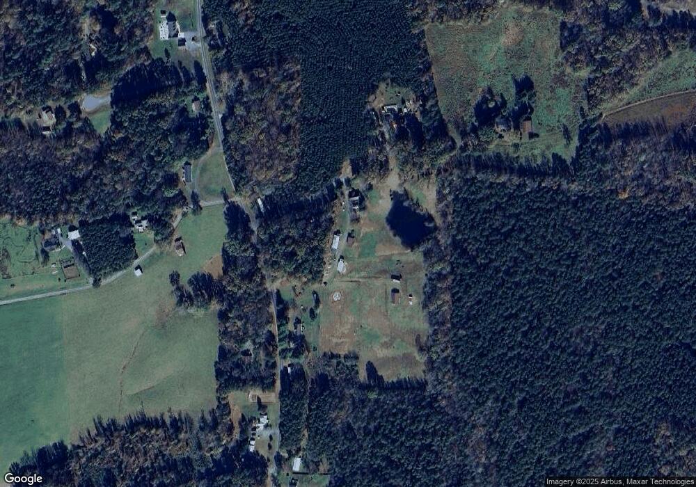
Map
Nearby Homes
- 4422 Nc Highway 49 S
- Lot 24 Maple Hill Ct
- 3526 Tot Hill Farm Rd
- 0000 Hwy 49
- Lot 13 Johns Ridge Dr
- Lot 12 Johns Ridge Dr
- 001 High Meadow Dr
- 0 Tot Hill Farm Rd
- 00 Nc Highway 49 S
- 2613 High Meadow Dr
- 2565 High Meadow Dr
- 0000 Nc Highway 49 S
- 0 Deer Ridge Rd Unit 1190677
- 0 Deer Ridge Rd Unit 1191444
- 2579 Grey Rabbit Run
- 00 High Pine Church Rd
- 0 Fox Ridge Rd Unit 1197775
- Lot 37 Fox Ridge Rd
- 2626 Fox Ridge Rd
- 2634 Fox Ridge Rd
- 4026 Old Uwharrie Rd
- 4955 Lassiter Mill Rd
- 4747 Lassiter Mill Rd
- 4784 Lassiter Mill Rd
- 4756 Lassiter Mill Rd
- 3990 Old Uwharrie Rd
- 4952 Lassiter Mill Rd
- 4717 Lassiter Mill Rd
- 4722 Lassiter Mill Rd
- 4128 Thornburg Farm Trail
- 4990 Lassiter Mill Rd
- 5003 Lassiter Mill Rd
- Tract 3 Moonlight Meadow Rd
- 5013 Lassiter Mill Rd
- 4692 Lassiter Mill Rd
- 4206 Thornburg Farm Trail
- 4059 Moonlight Meadow Rd
- 4660 Lassiter Mill Rd
- 5059 Lassiter Mill Rd
- 4244 Thornburg Farm Trail