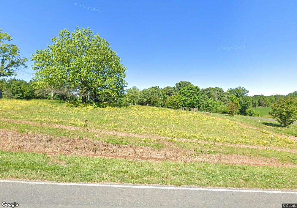
4051 Yow Rd Stanfield, NC 28163
Estimated Value: $285,000 - $370,000
3
Beds
2
Baths
1,144
Sq Ft
$277/Sq Ft
Est. Value
About This Home
This home is located at 4051 Yow Rd, Stanfield, NC 28163 and is currently estimated at $316,927, approximately $277 per square foot. 4051 Yow Rd is a home located in Stanly County with nearby schools including Stanfield Elementary School, West Stanly Middle School, and West Stanly High School.
Ownership History
Date
Name
Owned For
Owner Type
Purchase Details
Closed on
Oct 22, 2009
Sold by
Whitley Troy W
Bought by
Whitley Troy W and Whitley Patricia
Current Estimated Value
Purchase Details
Closed on
Jun 1, 2008
Sold by
Whitley Troy W and Whitley Patricia
Bought by
Whitley Troy W
Home Financials for this Owner
Home Financials are based on the most recent Mortgage that was taken out on this home.
Original Mortgage
$119,262
Interest Rate
6.04%
Mortgage Type
FHA
Create a Home Valuation Report for This Property
The Home Valuation Report is an in-depth analysis detailing your home's value as well as a comparison with similar homes in the area
Home Values in the Area
Average Home Value in this Area
Purchase History
| Date | Buyer | Sale Price | Title Company |
|---|---|---|---|
| Whitley Troy W | -- | None Available | |
| Whitley Troy W | -- | Meymax Title Agency |
Source: Public Records
Mortgage History
| Date | Status | Borrower | Loan Amount |
|---|---|---|---|
| Closed | Whitley Troy W | $119,262 |
Source: Public Records
Tax History Compared to Growth
Tax History
| Year | Tax Paid | Tax Assessment Tax Assessment Total Assessment is a certain percentage of the fair market value that is determined by local assessors to be the total taxable value of land and additions on the property. | Land | Improvement |
|---|---|---|---|---|
| 2025 | $1,152 | $182,861 | $63,150 | $119,711 |
| 2024 | $143 | $130,598 | $38,600 | $91,998 |
| 2023 | $127 | $130,598 | $38,600 | $91,998 |
| 2022 | $1,037 | $130,598 | $38,600 | $91,998 |
| 2021 | $1,022 | $130,598 | $38,600 | $91,998 |
| 2020 | $904 | $106,860 | $29,877 | $76,983 |
| 2019 | $908 | $106,860 | $29,877 | $76,983 |
| 2018 | $124 | $106,860 | $29,877 | $76,983 |
| 2017 | $823 | $106,860 | $29,877 | $76,983 |
| 2016 | $806 | $104,690 | $27,575 | $77,115 |
| 2015 | $868 | $104,690 | $27,575 | $77,115 |
| 2014 | $838 | $104,690 | $27,575 | $77,115 |
Source: Public Records
Map
Nearby Homes
- 6615 Love Mill Rd
- Tract B Rock Hole Rd
- Tract A Rock Hole Rd
- 9326 Old Ferry Rd
- 7218 Alexander Farm Rd
- 2212 Biggers Cemetery Rd
- 8304 Renee Ford Rd
- 3436 Greene Rd
- 3428 Greene Rd
- 7153 Strawberry Ln
- 5612 Love Mill Rd Unit 1
- 1006 Heath Helms Rd
- 2159 Quiet Cove Ln
- 1012 Heath Helms Rd
- 1018 Heath Helms Rd
- 1022 Heath Helms Rd
- 1038 Heath Helms Rd
- 5409 Love Mill Rd
- 1034 Heath Helms Rd
- 331 Polk Ford Rd
