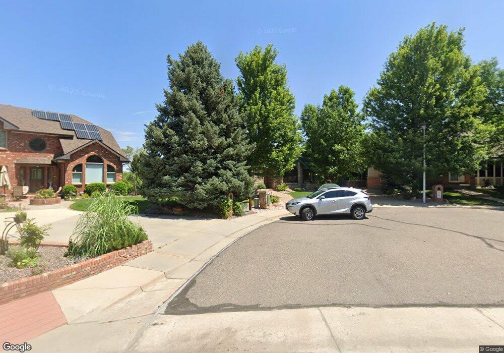
4052 Simms St Wheat Ridge, CO 80033
Applewood Villages NeighborhoodEstimated Value: $1,022,000 - $1,476,000
4
Beds
9
Baths
3,012
Sq Ft
$405/Sq Ft
Est. Value
About This Home
This home is located at 4052 Simms St, Wheat Ridge, CO 80033 and is currently estimated at $1,220,511, approximately $405 per square foot. 4052 Simms St is a home located in Jefferson County with nearby schools including Prospect Valley Elementary School, Everitt Middle School, and Wheat Ridge High School.
Ownership History
Date
Name
Owned For
Owner Type
Purchase Details
Closed on
Jun 17, 2021
Sold by
Henderson Sandra Lee and Estate Of Rodney W Henderson
Bought by
Rodney W Henderson Family Trust
Current Estimated Value
Purchase Details
Closed on
Apr 17, 2008
Sold by
Henderson Sandra L
Bought by
Henderson Sandra L and Henderson Rodney W
Create a Home Valuation Report for This Property
The Home Valuation Report is an in-depth analysis detailing your home's value as well as a comparison with similar homes in the area
Home Values in the Area
Average Home Value in this Area
Purchase History
| Date | Buyer | Sale Price | Title Company |
|---|---|---|---|
| Rodney W Henderson Family Trust | -- | None Available | |
| Henderson Sandra L | -- | None Available |
Source: Public Records
Tax History
| Year | Tax Paid | Tax Assessment Tax Assessment Total Assessment is a certain percentage of the fair market value that is determined by local assessors to be the total taxable value of land and additions on the property. | Land | Improvement |
|---|---|---|---|---|
| 2024 | $7,525 | $85,765 | $40,038 | $45,727 |
| 2023 | $7,525 | $85,765 | $40,038 | $45,727 |
| 2022 | $6,979 | $79,103 | $38,143 | $40,960 |
| 2021 | $7,084 | $81,380 | $39,241 | $42,139 |
| 2020 | $5,177 | $61,663 | $18,469 | $43,194 |
| 2019 | $5,113 | $61,663 | $18,469 | $43,194 |
| 2018 | $5,780 | $66,921 | $22,204 | $44,717 |
| 2017 | $5,261 | $66,921 | $22,204 | $44,717 |
| 2016 | $4,815 | $59,435 | $16,730 | $42,705 |
| 2015 | $4,342 | $59,435 | $16,730 | $42,705 |
| 2014 | $4,342 | $51,754 | $15,433 | $36,321 |
Source: Public Records
Map
Nearby Homes
- 11880 W 38th Place
- 3815 Quail Ct
- 11440 W 38th Ave
- 3771 Quail St Unit 71
- 11772 W 45th Place
- 3310 Routt St
- 4355 Parfet St
- 3251 Robb St
- 12285 W 34th Place
- 4615 Quail St
- 3229 Swadley St
- 3391 Oak St
- 3746 Miller Ct
- 3738 Miller Ct
- 3732 Miller Ct
- 4695 Parfet St
- 10640 W 46th Ave
- 4062 Lee Cir
- 3862 Lee Cir
- 10886 W 31st Place
- 4048 Simms St
- 4056 Simms St
- 4044 Simms St
- 11591 W 39th Place
- 3983 Rolfe Ct
- 4033 Simms St
- 4060 Simms St
- 11551 W 39th Place
- 3993 Rolfe Ct
- 3940 Simms St
- 11590 W 39th Place
- 3930 Simms Ct
- 3929 Simms St
- 11560 W 39th Place
- 11651 W 40th Cir
- 3926 Simms Ct
- 3936 Simms St
- 3925 Simms St
- 11530 W 39th Place
- 3982 Rolfe Ct
Your Personal Tour Guide
Ask me questions while you tour the home.