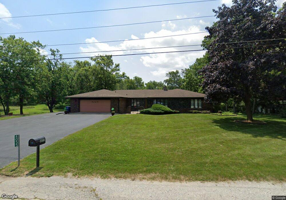
4055 205th St Unit 2 Matteson, IL 60443
Old Matteson NeighborhoodEstimated Value: $344,713 - $377,000
3
Beds
3
Baths
2,695
Sq Ft
$133/Sq Ft
Est. Value
About This Home
This home is located at 4055 205th St Unit 2, Matteson, IL 60443 and is currently estimated at $358,571, approximately $133 per square foot. 4055 205th St Unit 2 is a home located in Cook County with nearby schools including Illinois School, Arcadia Elementary School, and Indiana Elementary School.
Ownership History
Date
Name
Owned For
Owner Type
Purchase Details
Closed on
May 27, 2011
Sold by
First Midwest Bank
Bought by
James Everett M
Current Estimated Value
Home Financials for this Owner
Home Financials are based on the most recent Mortgage that was taken out on this home.
Original Mortgage
$271,245
Outstanding Balance
$195,432
Interest Rate
5.62%
Mortgage Type
FHA
Estimated Equity
$163,139
Purchase Details
Closed on
Apr 25, 1994
Sold by
Greatbanc Trust Company
Bought by
Fremouw Joy J
Create a Home Valuation Report for This Property
The Home Valuation Report is an in-depth analysis detailing your home's value as well as a comparison with similar homes in the area
Home Values in the Area
Average Home Value in this Area
Purchase History
| Date | Buyer | Sale Price | Title Company |
|---|---|---|---|
| James Everett M | $232,500 | Ctic | |
| Fremouw Joy J | -- | -- |
Source: Public Records
Mortgage History
| Date | Status | Borrower | Loan Amount |
|---|---|---|---|
| Open | James Everett M | $271,245 |
Source: Public Records
Tax History Compared to Growth
Tax History
| Year | Tax Paid | Tax Assessment Tax Assessment Total Assessment is a certain percentage of the fair market value that is determined by local assessors to be the total taxable value of land and additions on the property. | Land | Improvement |
|---|---|---|---|---|
| 2024 | $8,043 | $24,412 | $5,614 | $18,798 |
| 2023 | $6,018 | $24,412 | $5,614 | $18,798 |
| 2022 | $6,018 | $15,455 | $4,491 | $10,964 |
| 2021 | $6,085 | $15,454 | $4,491 | $10,963 |
| 2020 | $7,228 | $18,691 | $4,491 | $14,200 |
| 2019 | $8,275 | $21,164 | $3,368 | $17,796 |
| 2018 | $7,930 | $21,164 | $3,368 | $17,796 |
| 2017 | $7,694 | $21,164 | $3,368 | $17,796 |
| 2016 | $6,411 | $17,141 | $2,245 | $14,896 |
| 2015 | $6,302 | $17,141 | $2,245 | $14,896 |
| 2014 | $6,204 | $17,141 | $2,245 | $14,896 |
| 2013 | $5,044 | $15,383 | $2,245 | $13,138 |
Source: Public Records
Map
Nearby Homes
- 20520 Crawford Ave
- 706 Carnation Ln
- 20340 Crawford Ave
- 807 Violet Ln
- 4108 Applewood Ln
- 831 Violet Ln
- 748 Kostner Ave
- 20920 Governors Hwy
- 4228 Applewood Ln
- 820 Exmoor Rd
- 4500 203rd St
- 663 Primrose Ln
- 135 Treehouse Rd
- 4329 Applewood Ln
- 548 Academy Ave
- 4335 Lindenwood Dr
- 20534 Arcadian Dr
- 20001 Arquilla Cir
- 20436 Arcadian Dr
- 19937 Burnside Ct