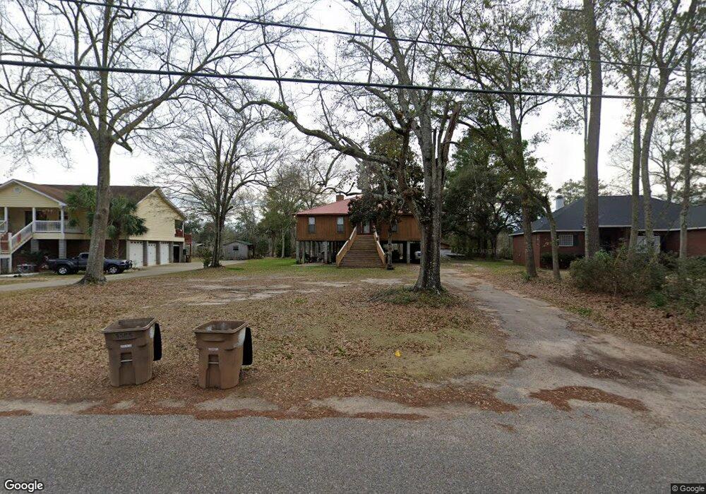
4055 Point Rd Unit 1 Mobile, AL 36619
Cypress Shores NeighborhoodEstimated Value: $259,000 - $391,317
Studio
1
Bath
2,052
Sq Ft
$167/Sq Ft
Est. Value
About This Home
This home is located at 4055 Point Rd Unit 1, Mobile, AL 36619 and is currently estimated at $342,329, approximately $166 per square foot. 4055 Point Rd Unit 1 is a home located in Mobile County with nearby schools including Mary W Burroughs Elementary School, Katherine H Hankins Middle School, and Theodore High School.
Ownership History
Date
Name
Owned For
Owner Type
Purchase Details
Closed on
Jun 12, 2017
Sold by
Demouy Carolyn A and Demouy Carline A
Bought by
Demouy Russell E
Current Estimated Value
Purchase Details
Closed on
Jan 10, 2001
Sold by
Templeton Harvey Allen and Templeton Joyce V
Bought by
Demouy Russell E and Demouy Carline A
Home Financials for this Owner
Home Financials are based on the most recent Mortgage that was taken out on this home.
Original Mortgage
$109,250
Interest Rate
7.65%
Create a Home Valuation Report for This Property
The Home Valuation Report is an in-depth analysis detailing your home's value as well as a comparison with similar homes in the area
Home Values in the Area
Average Home Value in this Area
Purchase History
| Date | Buyer | Sale Price | Title Company |
|---|---|---|---|
| Demouy Russell E | $143,850 | None Available | |
| Demouy Russell E | $115,000 | -- |
Source: Public Records
Mortgage History
| Date | Status | Borrower | Loan Amount |
|---|---|---|---|
| Previous Owner | Demouy Russell E | $109,250 |
Source: Public Records
Tax History
| Year | Tax Paid | Tax Assessment Tax Assessment Total Assessment is a certain percentage of the fair market value that is determined by local assessors to be the total taxable value of land and additions on the property. | Land | Improvement |
|---|---|---|---|---|
| 2025 | $1,960 | $31,730 | $12,250 | $19,480 |
| 2024 | $1,960 | $31,000 | $12,250 | $18,750 |
| 2023 | $1,913 | $28,730 | $9,750 | $18,980 |
| 2022 | $1,712 | $27,990 | $9,750 | $18,240 |
| 2021 | $1,694 | $27,720 | $9,750 | $17,970 |
| 2020 | $1,692 | $27,670 | $9,750 | $17,920 |
| 2019 | $1,681 | $27,520 | $0 | $0 |
| 2018 | $1,678 | $27,480 | $0 | $0 |
| 2017 | $1,761 | $28,780 | $0 | $0 |
| 2016 | $1,482 | $24,400 | $0 | $0 |
| 2013 | $1,495 | $24,440 | $0 | $0 |
Source: Public Records
Map
Nearby Homes
- 4525 Brentwood Dr
- 4087 Canal Cir E
- 3914 Blue Gill Cir
- 4219 Canal Dr
- 3847 Riviere Du Chien Rd
- 0 Audubon Dr Unit 7716268
- 4604 Cypress Park Dr
- 5030 Cole Dr E
- 5001 Audubon Dr
- 3500 Higgins Rd
- 0 Downey Dr Unit 7684534
- 4323 Downey Dr
- 3921 Saint Andrews Dr E
- 3921 St Andrews Dr E
- 0 St Andrews Dr E Unit 7510683
- 4039 Leighton Place Dr
- 4043 Leighton Place Dr
- 4062 Leighton Place Dr
- 4035 Leighton Place Dr
- 3112 Riviere Du Chien Loop W
- 4027 Point Rd
- 4045 Point Rd
- 4087 Point Rd
- 4025 Point Rd
- 4451 Nicholl Dr
- 4088 Point Rd
- 4101 Point Rd
- 4446 Nicholl Dr
- 4445 Nicholl Dr
- 4009 Point Rd
- 4431 Cypress Shores Dr
- 4523 Cypress Shores Dr
- 4440 Nicholl Dr
- 4441 Nicholl Dr
- 4423 Cypress Shores Dr
- 3989 Point Rd
- 4539 Cypress Shores Dr
- 4434 Nicholl Dr
- 4570 Canal Park
- 4399 Cypress Shores Dr
Your Personal Tour Guide
Ask me questions while you tour the home.