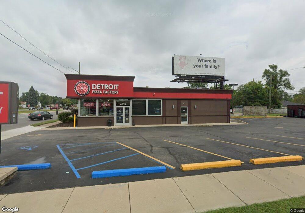
4055 S Telegraph Rd Unit Bldg-Unit Dearborn Heights, MI 48125
Estimated Value: $420,799
--
Bed
--
Bath
1,845
Sq Ft
$228/Sq Ft
Est. Value
About This Home
This home is located at 4055 S Telegraph Rd Unit Bldg-Unit, Dearborn Heights, MI 48125 and is currently estimated at $420,799, approximately $228 per square foot. 4055 S Telegraph Rd Unit Bldg-Unit is a home located in Wayne County with nearby schools including Polk Elementary School, Bedford School, and Pardee School.
Ownership History
Date
Name
Owned For
Owner Type
Purchase Details
Closed on
Sep 14, 2022
Sold by
Shal Holdings Llc
Bought by
Majed Investment Group Llc
Current Estimated Value
Purchase Details
Closed on
Sep 29, 2014
Sold by
Elliott Sandra Ann and Elliott Paul
Bought by
Shal Holdings Llc
Purchase Details
Closed on
Oct 12, 2001
Sold by
Serra Albert F
Bought by
Toarminas Pizza Inc
Create a Home Valuation Report for This Property
The Home Valuation Report is an in-depth analysis detailing your home's value as well as a comparison with similar homes in the area
Home Values in the Area
Average Home Value in this Area
Purchase History
| Date | Buyer | Sale Price | Title Company |
|---|---|---|---|
| Majed Investment Group Llc | $350,000 | -- | |
| Shal Holdings Llc | $250,000 | Title One Inc | |
| Toarminas Pizza Inc | $250,000 | -- |
Source: Public Records
Tax History Compared to Growth
Tax History
| Year | Tax Paid | Tax Assessment Tax Assessment Total Assessment is a certain percentage of the fair market value that is determined by local assessors to be the total taxable value of land and additions on the property. | Land | Improvement |
|---|---|---|---|---|
| 2025 | $6,309 | $142,200 | $0 | $0 |
| 2024 | $6,309 | $136,800 | $0 | $0 |
| 2023 | $6,082 | $132,700 | $0 | $0 |
| 2022 | $8,942 | $131,400 | $0 | $0 |
| 2021 | $8,881 | $125,900 | $0 | $0 |
| 2019 | $8,549 | $117,800 | $0 | $0 |
| 2018 | $5,376 | $114,000 | $0 | $0 |
| 2017 | $5,983 | $111,100 | $0 | $0 |
| 2016 | $8,274 | $114,200 | $0 | $0 |
| 2015 | $11,150 | $111,500 | $0 | $0 |
| 2013 | $11,570 | $117,800 | $0 | $0 |
| 2010 | -- | $126,200 | $0 | $0 |
Source: Public Records
Map
Nearby Homes
- 4193 Cornell St
- 3841 Westpoint St
- 4489 Westpoint St
- 4474 Syracuse St
- 3925 Madison St
- 4506 Syracuse St
- 24337 Ross St
- 24409 Stanford St
- 24313 Carlysle St
- 4449 Academy St
- 24426 Lehigh St
- 4665 Syracuse St
- 3604 Syracuse St
- 4901 Cornell St
- 3756 Grindley Park St
- 24117 Eton Ave
- 24635 Stanford St
- 3425 Westpoint St
- 24339 Eton Ave
- 24800 Dartmouth St
- 4055 S Telegraph Rd
- 3996 Westpoint St
- 4016 Westpoint St
- 3986 Westpoint St
- 3976 Westpoint St
- 4120 Westpoint St
- 3966 Westpoint St
- 3956 Westpoint St
- 4128 Westpoint St
- 24024 Colgate St
- 3946 Westpoint St
- 4136 Westpoint St
- 24029 Andover Dr
- 4005 Westpoint St
- 3995 Westpoint St
- 3985 Westpoint St
- 24040 Colgate St
- 3936 Westpoint St
- 3975 Westpoint St
- 4144 Westpoint St