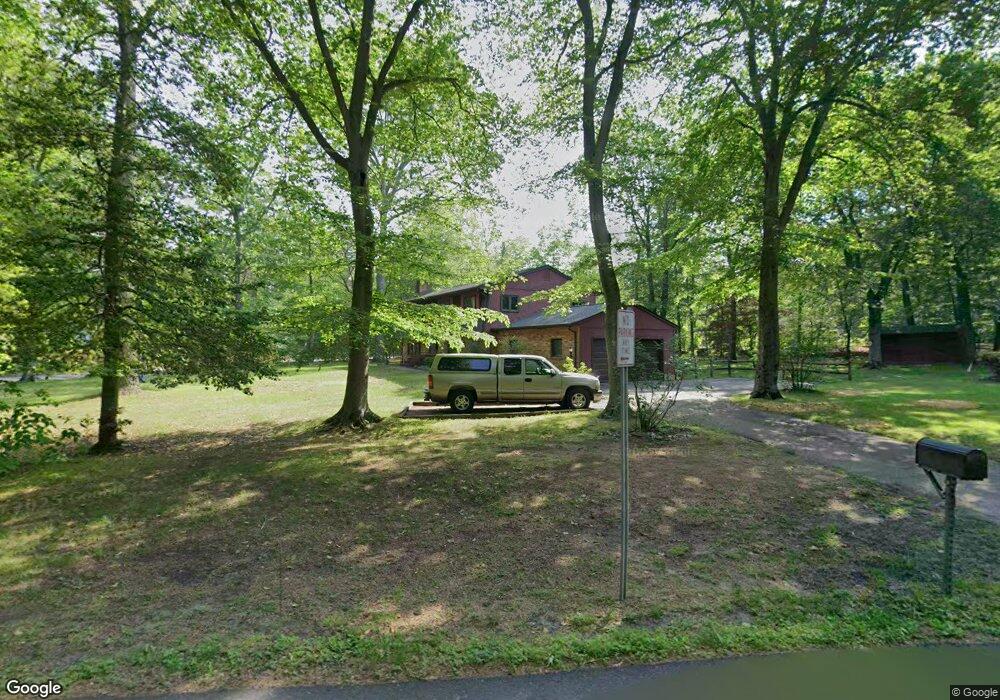
4057 Sands Rd Harwood, MD 20776
Harwood NeighborhoodEstimated Value: $495,000 - $543,000
--
Bed
2
Baths
1,220
Sq Ft
$426/Sq Ft
Est. Value
About This Home
This home is located at 4057 Sands Rd, Harwood, MD 20776 and is currently estimated at $520,071, approximately $426 per square foot. 4057 Sands Rd is a home located in Anne Arundel County with nearby schools including Lothian Elementary School, Southern Middle School, and Southern High School.
Ownership History
Date
Name
Owned For
Owner Type
Purchase Details
Closed on
Jul 12, 1999
Sold by
Plank Stanley P
Bought by
Halasz Josephine A and Corron Chester A
Current Estimated Value
Purchase Details
Closed on
Sep 24, 1987
Sold by
Passerini Edward S
Bought by
Plank Stanley P
Home Financials for this Owner
Home Financials are based on the most recent Mortgage that was taken out on this home.
Original Mortgage
$100,000
Interest Rate
10.99%
Create a Home Valuation Report for This Property
The Home Valuation Report is an in-depth analysis detailing your home's value as well as a comparison with similar homes in the area
Home Values in the Area
Average Home Value in this Area
Purchase History
| Date | Buyer | Sale Price | Title Company |
|---|---|---|---|
| Halasz Josephine A | $215,000 | -- | |
| Plank Stanley P | $144,000 | -- |
Source: Public Records
Mortgage History
| Date | Status | Borrower | Loan Amount |
|---|---|---|---|
| Previous Owner | Plank Stanley P | $100,000 | |
| Closed | Halasz Josephine A | -- |
Source: Public Records
Tax History Compared to Growth
Tax History
| Year | Tax Paid | Tax Assessment Tax Assessment Total Assessment is a certain percentage of the fair market value that is determined by local assessors to be the total taxable value of land and additions on the property. | Land | Improvement |
|---|---|---|---|---|
| 2025 | $3,687 | $413,900 | -- | -- |
| 2024 | $3,687 | $397,500 | $0 | $0 |
| 2023 | $3,577 | $381,100 | $228,700 | $152,400 |
| 2022 | $3,358 | $378,500 | $0 | $0 |
| 2021 | $6,619 | $375,900 | $0 | $0 |
| 2020 | $3,221 | $373,300 | $228,700 | $144,600 |
| 2019 | $3,040 | $347,567 | $0 | $0 |
| 2018 | $3,263 | $321,833 | $0 | $0 |
| 2017 | $2,933 | $296,100 | $0 | $0 |
| 2016 | -- | $293,400 | $0 | $0 |
| 2015 | -- | $290,700 | $0 | $0 |
| 2014 | -- | $288,000 | $0 | $0 |
Source: Public Records
Map
Nearby Homes
- 17905 Queen Anne Rd
- 17436 Claggett Landing Rd
- 812 Richardson Dr
- 1527 Patuxent Manor Rd
- 18106 B Central Ave
- 1544 Manor View Rd
- 3732 Nile Rd
- 1575 Alcova Dr
- 213 King James Rd
- 1500, 1501, 1504 Cogar Rd
- 1008 W Central Ave
- 116 Prospect Dr
- 210 Queen Marie Ct
- 3501 Foxhall Dr
- 873 Benjamin Branch
- 16508 Kilby Ct
- 17308 Queen Anne Bridge Rd
- 1080 Mount Airy Rd
- 1002 Marshalls Dr
- Hampton II Plan at Marshall's Landing