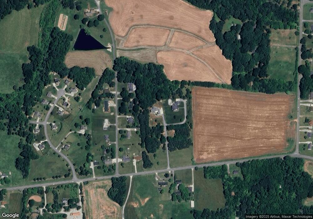
4059 E Nc Highway 150 E Browns Summit, NC 27214
Estimated Value: $536,000 - $688,449
4
Beds
3
Baths
3,780
Sq Ft
$161/Sq Ft
Est. Value
About This Home
This home is located at 4059 E Nc Highway 150 E, Browns Summit, NC 27214 and is currently estimated at $608,612, approximately $161 per square foot. 4059 E Nc Highway 150 E is a home with nearby schools including Northern Elementary School, Northern Guilford Middle School, and Northern Guilford High School.
Ownership History
Date
Name
Owned For
Owner Type
Purchase Details
Closed on
Aug 25, 2017
Sold by
Cornett Thomas A and Cornett Kelly K
Bought by
Pegram Kevin D and Pegram Deanna Lindsey
Current Estimated Value
Purchase Details
Closed on
Jan 24, 2017
Sold by
Avocet Investments Llc
Bought by
Cornett Thomas A and Cornett Kelly K
Home Financials for this Owner
Home Financials are based on the most recent Mortgage that was taken out on this home.
Original Mortgage
$195,000
Outstanding Balance
$161,271
Interest Rate
4.16%
Mortgage Type
Future Advance Clause Open End Mortgage
Estimated Equity
$447,341
Purchase Details
Closed on
Jan 23, 2017
Sold by
Davis Martha Medlin
Bought by
Avocet Investments Llc
Home Financials for this Owner
Home Financials are based on the most recent Mortgage that was taken out on this home.
Original Mortgage
$195,000
Outstanding Balance
$161,271
Interest Rate
4.16%
Mortgage Type
Future Advance Clause Open End Mortgage
Estimated Equity
$447,341
Create a Home Valuation Report for This Property
The Home Valuation Report is an in-depth analysis detailing your home's value as well as a comparison with similar homes in the area
Home Values in the Area
Average Home Value in this Area
Purchase History
| Date | Buyer | Sale Price | Title Company |
|---|---|---|---|
| Pegram Kevin D | -- | Chicago Title Insurance Comp | |
| Cornett Thomas A | $300,000 | None Available | |
| Avocet Investments Llc | $200,000 | Chicago Title Insurance Comp |
Source: Public Records
Mortgage History
| Date | Status | Borrower | Loan Amount |
|---|---|---|---|
| Open | Cornett Thomas A | $195,000 |
Source: Public Records
Tax History Compared to Growth
Tax History
| Year | Tax Paid | Tax Assessment Tax Assessment Total Assessment is a certain percentage of the fair market value that is determined by local assessors to be the total taxable value of land and additions on the property. | Land | Improvement |
|---|---|---|---|---|
| 2025 | $3,942 | $442,700 | $64,400 | $378,300 |
| 2024 | $3,942 | $64,400 | $64,400 | -- |
| 2023 | $561 | $64,400 | $64,400 | $0 |
| 2022 | $561 | $64,400 | $64,400 | $0 |
| 2021 | $480 | $55,200 | $55,200 | $0 |
| 2020 | $480 | $55,200 | $55,200 | $0 |
| 2019 | $480 | $55,200 | $0 | $0 |
| 2018 | $473 | $55,200 | $0 | $0 |
| 2017 | $719 | $83,600 | $0 | $0 |
| 2016 | $616 | $69,600 | $0 | $0 |
| 2015 | $619 | $69,600 | $0 | $0 |
| 2014 | $563 | $62,600 | $0 | $0 |
Source: Public Records
Map
Nearby Homes
- 2904 Spencers Grove Rd
- 2595 Mccullum Ct
- 8302 Dorwood Dr
- 8119 Spearman Rd
- 3000 Beville Forest Dr
- 2590 Mccullum Ct
- 3002 Walbrook Terrace
- 8530 Fairgrove Church Rd
- 8331 Fairgrove Church Rd
- 8305 Fairgrove Church Rd
- 8323/8327 Fairgrove Church Rd
- 8307 Fairgrove Church Rd
- 8301 Fairgrove Church Rd
- 8402 Cripplegate Trace
- Cali Plan at Wellington
- Columbia Plan at Wellington
- Wilmington Plan at Wellington
- Hayden Plan at Wellington
- Penwell Plan at Wellington
- 8435 Newgate Trace
- 8110 Middleland Dr
- 8112 Middleland Dr
- 8108 Middleland Dr
- 4067 Nc Highway 150 E
- 8106 Middleland Dr
- 8109 Middleland Dr
- 8111 Middleland Dr
- 8107 Middleland Dr
- 4055 E Nc Highway 150
- 8105 Middleland Dr
- 4053 E Nc Highway 150
- 4049 E Nc Highway 150
- 8112 Broad Ridge Ct
- 8115 Broad Ridge Ct
- 4047 E Nc Highway 150
- 8108 Broad Ridge Ct
- 8113 Broad Ridge Ct
- 8106 Broad Ridge Ct
- 4060 E Nc Highway 150
- 8100 Broad Ridge Ct
