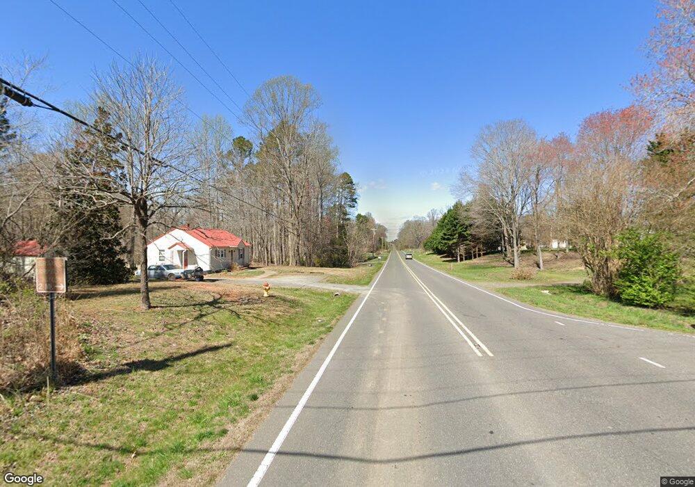
4059 Us Highway 601 N Mocksville, NC 27028
Estimated Value: $217,000 - $352,929
4
Beds
3
Baths
2,176
Sq Ft
$126/Sq Ft
Est. Value
About This Home
This home is located at 4059 Us Highway 601 N, Mocksville, NC 27028 and is currently estimated at $273,982, approximately $125 per square foot. 4059 Us Highway 601 N is a home located in Davie County with nearby schools including William R. Davie Elementary School, North Davie Middle School, and Davie County High School.
Ownership History
Date
Name
Owned For
Owner Type
Purchase Details
Closed on
Sep 11, 2019
Sold by
Harris William D and Harris Jackie
Bought by
Hanna Joshua and Hanna Heather
Current Estimated Value
Purchase Details
Closed on
May 24, 2018
Sold by
Speer-Harris Bonnie
Bought by
Harris Jeffrey S and Harris Garry D
Purchase Details
Closed on
Mar 22, 2010
Sold by
Harris Jeffrey Scott
Bought by
Harris Larry Gene
Purchase Details
Closed on
Nov 8, 2006
Sold by
Harris Garry
Bought by
Harris Jeffrey Scott and Harris Larry Gene
Purchase Details
Closed on
May 1, 2003
Purchase Details
Closed on
May 1, 2000
Create a Home Valuation Report for This Property
The Home Valuation Report is an in-depth analysis detailing your home's value as well as a comparison with similar homes in the area
Home Values in the Area
Average Home Value in this Area
Purchase History
| Date | Buyer | Sale Price | Title Company |
|---|---|---|---|
| Hanna Joshua | -- | -- | |
| Harris Jeffrey S | -- | -- | |
| Harris Larry Gene | $15,000 | -- | |
| Harris Jeffrey Scott | -- | None Available | |
| -- | -- | -- | |
| -- | -- | -- |
Source: Public Records
Tax History Compared to Growth
Tax History
| Year | Tax Paid | Tax Assessment Tax Assessment Total Assessment is a certain percentage of the fair market value that is determined by local assessors to be the total taxable value of land and additions on the property. | Land | Improvement |
|---|---|---|---|---|
| 2025 | $2,147 | $432,810 | $117,700 | $315,110 |
| 2024 | $1,478 | $191,170 | $100,460 | $90,710 |
| 2023 | $1,478 | $191,170 | $100,460 | $90,710 |
| 2022 | $1,068 | $137,280 | $100,460 | $36,820 |
| 2021 | $1,031 | $133,430 | $100,460 | $32,970 |
| 2020 | $1,022 | $131,350 | $100,460 | $30,890 |
| 2019 | $371 | $47,740 | $0 | $0 |
| 2018 | $374 | $48,020 | $0 | $0 |
| 2017 | $369 | $48,020 | $0 | $0 |
| 2016 | $360 | $46,890 | $0 | $0 |
| 2015 | $360 | $46,890 | $0 | $0 |
| 2014 | $309 | $46,890 | $0 | $0 |
| 2013 | -- | $46,890 | $0 | $0 |
Source: Public Records
Map
Nearby Homes
- Knollwood Plan at Providence Place
- Southmont Plan at Providence Place
- Aster Plan at Providence Place
- Ledford Plan at Providence Place
- Abbott Plan at Providence Place
- Cotton Grove Plan at Providence Place
- 155 Cotton Ln
- 5304 U S Highway 601 N
- 228 Meadowlark Ln
- 4799 Us Highway 601 N
- 200 Bramblewood Ln
- 3227 Us Highway 601 N
- 112 Courtney Rd
- 5173 Us Highway 601 N
- 153 Summerlyn Dr
- 118 Arrendal Ct
- 00 Ben Anderson Rd Unit LotWP001
- 00 Angell Rd
- 550 Danner Rd
- 0 Ralph Ratledge Rd
- 4047 Us Highway 601 N
- 142 Landis Ct
- 132 Landis Ct
- 146 Landis Ct
- 147 Landis Ct
- 120 Landis Ct
- 145 Landis Ct
- 137 Landis Ct
- 125 Landis Ct
- 108 Landis Ct
- 108 Landis Ct Unit 36
- 111 Landis Ct Unit 4
- 111 Landis Ct
- 145 Greenfield Rd
- 107 Highland Rd
- 117 Highland Rd
- 131 Highland Rd
- 143 Highland Rd
- 3996 Us Highway 601 N
- 157 Greenfield Rd