406 Beaverpond Rd Carrollton, GA 30117
Estimated Value: $251,303 - $295,000
3
Beds
2
Baths
1,593
Sq Ft
$172/Sq Ft
Est. Value
About This Home
This home is located at 406 Beaverpond Rd, Carrollton, GA 30117 and is currently estimated at $273,326, approximately $171 per square foot. 406 Beaverpond Rd is a home located in Carroll County with nearby schools including Mt. Zion Elementary School, Mt. Zion Middle School, and Mt. Zion High School.
Ownership History
Date
Name
Owned For
Owner Type
Purchase Details
Closed on
May 22, 2003
Sold by
Miles William D and Miles Do
Bought by
Miles William D and Miles Donna
Current Estimated Value
Purchase Details
Closed on
May 5, 2000
Sold by
Oneal Martha J
Bought by
Miles William D and Miles Do
Purchase Details
Closed on
Nov 11, 1999
Sold by
O'Neal O'Neal R and O'Neal Marsha
Bought by
Oneal Martha J
Purchase Details
Closed on
Jul 15, 1978
Bought by
O'Neal O'Neal R and O'Neal Marsha
Create a Home Valuation Report for This Property
The Home Valuation Report is an in-depth analysis detailing your home's value as well as a comparison with similar homes in the area
Home Values in the Area
Average Home Value in this Area
Purchase History
| Date | Buyer | Sale Price | Title Company |
|---|---|---|---|
| Miles William D | -- | -- | |
| Miles William D | $110,000 | -- | |
| Oneal Martha J | -- | -- | |
| O'Neal O'Neal R | -- | -- |
Source: Public Records
Tax History Compared to Growth
Tax History
| Year | Tax Paid | Tax Assessment Tax Assessment Total Assessment is a certain percentage of the fair market value that is determined by local assessors to be the total taxable value of land and additions on the property. | Land | Improvement |
|---|---|---|---|---|
| 2024 | $1,422 | $76,715 | $11,808 | $64,907 |
| 2023 | $1,422 | $68,964 | $9,447 | $59,517 |
| 2022 | $1,162 | $54,072 | $6,298 | $47,774 |
| 2021 | $1,045 | $46,089 | $5,038 | $41,051 |
| 2020 | $974 | $42,068 | $4,580 | $37,488 |
| 2019 | $926 | $39,794 | $4,580 | $35,214 |
| 2018 | $865 | $36,952 | $4,580 | $32,372 |
| 2017 | $868 | $36,952 | $4,580 | $32,372 |
| 2016 | $868 | $36,952 | $4,580 | $32,372 |
| 2015 | $1,053 | $41,657 | $10,418 | $31,239 |
| 2014 | $1,058 | $41,658 | $10,418 | $31,239 |
Source: Public Records
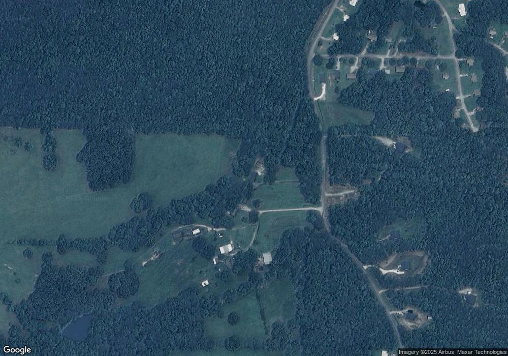
Map
Nearby Homes
- 33 Armstrong Dr
- 46 Gammon Rd
- 10 Joshua Way
- 30 Joshua Way
- 2994 Mount Zion Rd
- 2994 Mount Zion Rd Unit 1
- 2994 Mount Zion Rd Unit 3
- 85 Eureka Church Rd Unit 152
- 1202 Mount Zion Rd
- 778 Harrison Rd
- 206 Randall Dr
- 141 Anita Blvd
- 304 Kodiak Rd
- 153 Anita Blvd
- 266 Lambert Overlook Cir
- The Thomas 2 Plan at Lambert Overlook
- The Thomas Plan at Lambert Overlook
- The Brook Plan at Lambert Overlook
- 313 Lucy Ln
- 113 Natures Pointe Trail
- 344 Beaverpond Rd
- 384 Beaverpond Rd
- 423 Beaverpond Rd
- 499 Beaverpond Rd
- 15 Armstrong Dr
- 0 Armstrong Dr Unit 3084309
- 0 Armstrong Dr Unit 3084301
- 0 Armstrong Dr Unit 3084295
- 0 Armstrong Dr Unit 3084293
- 0 Armstrong Dr Unit 3084289
- 0 Armstrong Dr Unit 3084283
- 33 Armstrong Dr
- 33 Armstrong Dr
- 33 Armstrong Dr
- 33 Armstrong Dr
- 33 Armstrong Dr
- 33 Armstrong Dr
- 33 Armstrong Dr
- 33 Armstrong Dr
- 33 Armstrong Dr