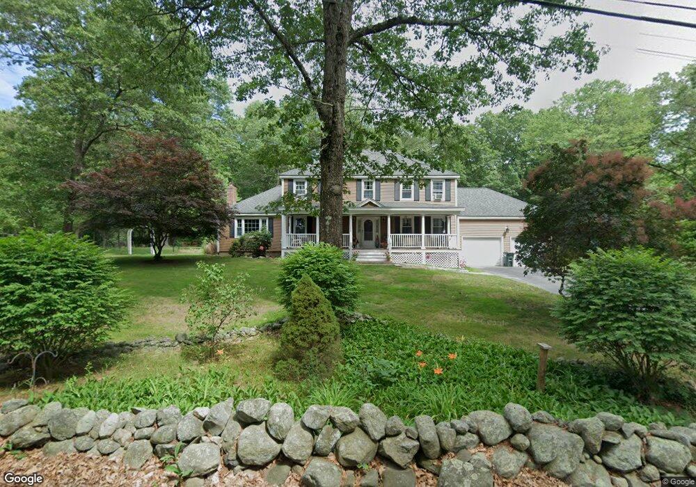
406 Forest St Dunstable, MA 01827
Estimated Value: $760,569 - $1,067,000
4
Beds
3
Baths
2,576
Sq Ft
$339/Sq Ft
Est. Value
About This Home
This home is located at 406 Forest St, Dunstable, MA 01827 and is currently estimated at $873,892, approximately $339 per square foot. 406 Forest St is a home located in Middlesex County with nearby schools including Groton Dunstable Regional High School and Academy of Notre Dame - Upper School.
Ownership History
Date
Name
Owned For
Owner Type
Purchase Details
Closed on
Jul 30, 1987
Sold by
C R Traywick Jr Inc
Bought by
Cail Stephen P
Current Estimated Value
Home Financials for this Owner
Home Financials are based on the most recent Mortgage that was taken out on this home.
Original Mortgage
$130,000
Interest Rate
10.43%
Mortgage Type
Purchase Money Mortgage
Create a Home Valuation Report for This Property
The Home Valuation Report is an in-depth analysis detailing your home's value as well as a comparison with similar homes in the area
Home Values in the Area
Average Home Value in this Area
Purchase History
| Date | Buyer | Sale Price | Title Company |
|---|---|---|---|
| Cail Stephen P | $280,000 | -- |
Source: Public Records
Mortgage History
| Date | Status | Borrower | Loan Amount |
|---|---|---|---|
| Open | Cail Stephen P | $109,750 | |
| Closed | Cail Stephen P | $130,000 |
Source: Public Records
Tax History
| Year | Tax Paid | Tax Assessment Tax Assessment Total Assessment is a certain percentage of the fair market value that is determined by local assessors to be the total taxable value of land and additions on the property. | Land | Improvement |
|---|---|---|---|---|
| 2025 | $9,870 | $717,800 | $221,000 | $496,800 |
| 2024 | $9,419 | $674,700 | $202,700 | $472,000 |
| 2023 | $9,358 | $625,100 | $202,700 | $422,400 |
| 2022 | $8,580 | $562,600 | $202,700 | $359,900 |
| 2021 | $8,582 | $523,000 | $185,400 | $337,600 |
| 2020 | $8,580 | $509,500 | $185,400 | $324,100 |
| 2019 | $8,361 | $490,100 | $185,400 | $304,700 |
| 2018 | $8,254 | $470,600 | $184,400 | $286,200 |
| 2017 | $7,892 | $463,700 | $184,400 | $279,300 |
| 2016 | $7,495 | $452,900 | $176,200 | $276,700 |
| 2015 | $7,309 | $436,900 | $148,500 | $288,400 |
| 2014 | $6,890 | $436,900 | $148,500 | $288,400 |
Source: Public Records
Map
Nearby Homes
- 0 Lowell St
- 16 Cannongate Rd Unit 16
- 160 Westford Rd
- 153 Off Pond St
- 0 Dunstable Rd
- 103 Pondview Place Unit 103
- 319 Pleasant St
- 14 Centercrest Dr Unit 14
- 22 Highland Rd
- 62 Brook St
- 34 Shakespeare St
- 2 Strawberry Bank Rd Unit 17
- 56 Frost Rd
- 4 Heritage Village Dr
- 24 Old Tyng Rd
- 21 Merrimac Way Unit D
- 6 Green Heron Ln Unit U22
- 30 Tamarack Way Unit 30
- 75 Frost Rd
- 28 Juniper Ln Unit 65
Your Personal Tour Guide
Ask me questions while you tour the home.