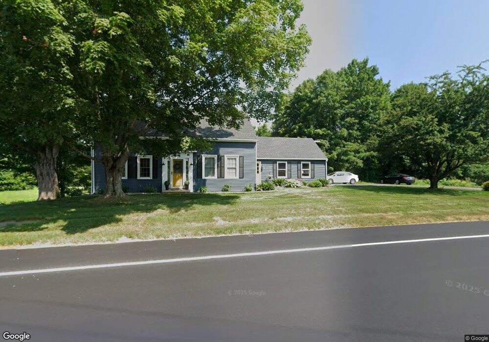
406 Garland Rd Winslow, ME 04901
Estimated Value: $283,536 - $393,000
4
Beds
2
Baths
1,554
Sq Ft
$212/Sq Ft
Est. Value
About This Home
This home is located at 406 Garland Rd, Winslow, ME 04901 and is currently estimated at $330,134, approximately $212 per square foot. 406 Garland Rd is a home located in Kennebec County with nearby schools including Winslow Elementary School, Winslow Junior High School, and Winslow High School.
Ownership History
Date
Name
Owned For
Owner Type
Purchase Details
Closed on
Oct 4, 2005
Sold by
Byrne Debra L and Byrne Micahelw
Bought by
Moody Amy C and Moody James A
Current Estimated Value
Home Financials for this Owner
Home Financials are based on the most recent Mortgage that was taken out on this home.
Original Mortgage
$153,900
Outstanding Balance
$82,789
Interest Rate
5.84%
Mortgage Type
Purchase Money Mortgage
Estimated Equity
$247,345
Create a Home Valuation Report for This Property
The Home Valuation Report is an in-depth analysis detailing your home's value as well as a comparison with similar homes in the area
Home Values in the Area
Average Home Value in this Area
Purchase History
| Date | Buyer | Sale Price | Title Company |
|---|---|---|---|
| Moody Amy C | -- | -- |
Source: Public Records
Mortgage History
| Date | Status | Borrower | Loan Amount |
|---|---|---|---|
| Open | Moody Amy C | $153,900 |
Source: Public Records
Tax History Compared to Growth
Tax History
| Year | Tax Paid | Tax Assessment Tax Assessment Total Assessment is a certain percentage of the fair market value that is determined by local assessors to be the total taxable value of land and additions on the property. | Land | Improvement |
|---|---|---|---|---|
| 2024 | $3,380 | $225,300 | $36,400 | $188,900 |
| 2023 | $3,380 | $225,300 | $36,400 | $188,900 |
| 2022 | $2,671 | $126,000 | $25,300 | $100,700 |
| 2021 | $2,573 | $127,400 | $25,300 | $102,100 |
| 2020 | $2,398 | $127,400 | $25,300 | $102,100 |
| 2019 | $2,375 | $127,400 | $25,300 | $102,100 |
| 2018 | $2,286 | $127,400 | $25,300 | $102,100 |
| 2017 | $2,133 | $127,400 | $25,300 | $102,100 |
| 2016 | $2,005 | $127,400 | $25,300 | $102,100 |
| 2015 | $1,975 | $127,400 | $25,300 | $102,100 |
| 2014 | $1,975 | $127,400 | $25,300 | $102,100 |
Source: Public Records
Map
Nearby Homes
- 5 Mar Val Terrace Unit B1
- 158 Clinton Ave
- 51 N Reynolds Rd
- 85 Halifax St
- 13 Poulin St
- 1 Oakhill Terrace
- 11 Poulin St
- 73 Halifax St
- 1 S Reynolds Rd
- 16 Hallowell St
- 242 China Rd
- 29 Halifax St
- 29 Bellevue St
- 0 Olde Heritage Map 10 Lot 77-3 Place Unit 1628289
- 1 S Ridge Dr
- 2 Blue Heron Ln
- 88 Augusta Rd
- 5 Robert St
- 2 and 3 Blue Heron Ln
- 3 Blue Heron Ln
- 403 Garland Rd
- 2 Berchester Dr
- 392 Garland Rd
- 410 Garland Rd
- 419 Garland Rd
- 4 Berchester Dr
- 3 Berchester Dr
- 424 Garland Rd
- 5 Berchester Dr
- 385 Garland Rd
- 7 Berchester Dr
- 374 Garland Rd
- 429 Garland Rd
- 382 Garland Rd
- 6 Berchester Dr
- 433 Garland Rd
- 440 Garland Rd
- 363 Garland Rd
- 450 Garland Rd
- 439 Garland Rd