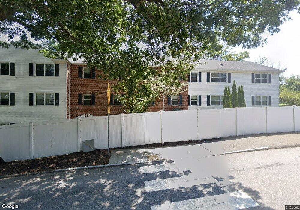
406 Grove St Unit 416 Newton, MA 02462
Auburndale NeighborhoodEstimated Value: $648,000 - $728,000
2
Beds
2
Baths
1,146
Sq Ft
$590/Sq Ft
Est. Value
About This Home
This home is located at 406 Grove St Unit 416, Newton, MA 02462 and is currently estimated at $675,733, approximately $589 per square foot. 406 Grove St Unit 416 is a home located in Middlesex County with nearby schools including Williams Elementary School, Charles E Brown Middle School, and Newton South High School.
Ownership History
Date
Name
Owned For
Owner Type
Purchase Details
Closed on
Jul 3, 2018
Sold by
Sudhalter Judith
Bought by
Judith Sudhalter 2018
Current Estimated Value
Purchase Details
Closed on
May 17, 2007
Sold by
Sudhalter Judith and Hores Robert G
Bought by
Sudhalter Judith
Purchase Details
Closed on
Oct 13, 1989
Sold by
Jay Barbara C
Bought by
Sudhalter Judith
Home Financials for this Owner
Home Financials are based on the most recent Mortgage that was taken out on this home.
Original Mortgage
$160,000
Interest Rate
10.13%
Mortgage Type
Purchase Money Mortgage
Purchase Details
Closed on
Oct 16, 1987
Sold by
Woodland Grove Tr
Bought by
Jay Randall S
Create a Home Valuation Report for This Property
The Home Valuation Report is an in-depth analysis detailing your home's value as well as a comparison with similar homes in the area
Home Values in the Area
Average Home Value in this Area
Purchase History
| Date | Buyer | Sale Price | Title Company |
|---|---|---|---|
| Judith Sudhalter 2018 | -- | -- | |
| Judith Sudhalter 2018 | -- | -- | |
| Sudhalter Judith | $110,000 | -- | |
| Sudhalter Judith | $110,000 | -- | |
| Sudhalter Judith | $185,000 | -- | |
| Sudhalter Judith | $185,000 | -- | |
| Jay Randall S | $106,500 | -- |
Source: Public Records
Mortgage History
| Date | Status | Borrower | Loan Amount |
|---|---|---|---|
| Previous Owner | Jay Randall S | $160,000 | |
| Closed | Jay Randall S | $0 |
Source: Public Records
Tax History Compared to Growth
Tax History
| Year | Tax Paid | Tax Assessment Tax Assessment Total Assessment is a certain percentage of the fair market value that is determined by local assessors to be the total taxable value of land and additions on the property. | Land | Improvement |
|---|---|---|---|---|
| 2025 | $5,619 | $573,400 | $0 | $573,400 |
| 2024 | $5,433 | $556,700 | $0 | $556,700 |
| 2023 | $5,303 | $520,900 | $0 | $520,900 |
| 2022 | $5,219 | $496,100 | $0 | $496,100 |
| 2021 | $5,036 | $468,000 | $0 | $468,000 |
| 2020 | $4,886 | $468,000 | $0 | $468,000 |
| 2019 | $4,748 | $454,400 | $0 | $454,400 |
| 2018 | $4,582 | $423,500 | $0 | $423,500 |
| 2017 | $4,442 | $399,500 | $0 | $399,500 |
| 2016 | $4,249 | $373,400 | $0 | $373,400 |
| 2015 | $4,129 | $355,600 | $0 | $355,600 |
Source: Public Records
Map
Nearby Homes
- 416 Grove St Unit B2
- 416 Grove St Unit B3
- 406 Grove St Unit 416
- 406 Grove St Unit 416
- 406 Grove St Unit 416
- 406 Grove St Unit 416
- 406 Grove St Unit 416
- 406 Grove St Unit 416
- 406 Grove St Unit 416
- 406 Grove St Unit C2
- 416 Grove St Unit A2
- 416 Grove St Unit 1A
- 416 Grove St Unit 3B FLOOR 3
- 416 Grove St Unit A2
- 416 Grove St Unit C3
- 416 Grove St Unit A1
- 36 Deforest Rd
- 36 Deforest Rd Unit 36
- 473 Grove St
- 65 Deforest Rd