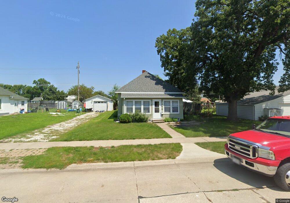
406 Hastings Ave Norfolk, NE 68701
Estimated Value: $130,000 - $157,000
2
Beds
1
Bath
1,053
Sq Ft
$137/Sq Ft
Est. Value
About This Home
This home is located at 406 Hastings Ave, Norfolk, NE 68701 and is currently estimated at $143,937, approximately $136 per square foot. 406 Hastings Ave is a home located in Madison County with nearby schools including Norfolk Senior High School, Christ Lutheran School, and Keystone Christian Academy.
Ownership History
Date
Name
Owned For
Owner Type
Purchase Details
Closed on
Aug 25, 2005
Sold by
Kruger Leonard F and Kruger Henrietta C
Bought by
James Bob
Current Estimated Value
Home Financials for this Owner
Home Financials are based on the most recent Mortgage that was taken out on this home.
Original Mortgage
$7,000
Outstanding Balance
$3,736
Interest Rate
5.81%
Mortgage Type
Purchase Money Mortgage
Estimated Equity
$140,201
Create a Home Valuation Report for This Property
The Home Valuation Report is an in-depth analysis detailing your home's value as well as a comparison with similar homes in the area
Home Values in the Area
Average Home Value in this Area
Purchase History
| Date | Buyer | Sale Price | Title Company |
|---|---|---|---|
| James Bob | $20,000 | -- | |
| James Bob | $20,000 | None Available |
Source: Public Records
Mortgage History
| Date | Status | Borrower | Loan Amount |
|---|---|---|---|
| Open | James Bob | $7,000 |
Source: Public Records
Tax History Compared to Growth
Tax History
| Year | Tax Paid | Tax Assessment Tax Assessment Total Assessment is a certain percentage of the fair market value that is determined by local assessors to be the total taxable value of land and additions on the property. | Land | Improvement |
|---|---|---|---|---|
| 2024 | $983 | $78,519 | $4,751 | $73,768 |
| 2023 | $1,284 | $69,460 | $4,751 | $64,709 |
| 2022 | $1,159 | $62,527 | $4,751 | $57,776 |
| 2021 | $1,042 | $56,337 | $4,751 | $51,586 |
| 2020 | $0 | $50,810 | $4,751 | $46,059 |
| 2019 | $0 | $45,875 | $4,751 | $41,124 |
| 2018 | $0 | $45,875 | $4,751 | $41,124 |
| 2017 | $0 | $42,479 | $4,751 | $37,728 |
| 2016 | $0 | $37,928 | $4,242 | $33,686 |
| 2015 | -- | $37,928 | $4,242 | $33,686 |
| 2014 | $17 | $37,928 | $4,242 | $33,686 |
| 2013 | -- | $35,724 | $4,242 | $31,482 |
Source: Public Records
Map
Nearby Homes
- 1303 S 3rd St
- 1406 S 2nd St
- 1405 S 2nd St
- 1104 S 2nd St
- 918 S 5th St
- 922 S 2nd St
- 906 S 4th St
- 805 S 5th St
- 809 S 1st St
- 1104 Southern Dr
- 700 S 2nd St
- 705 S 10th St
- 3307 W Michigan Ave
- 3206 W Michigan Ave
- 3205 W Michigan Ave
- 3306 W Michigan Ave
- 2208 S 1st St
- 602 S 10th St
- 506 S 1st St
- 804 Volkman Dr
- 410 Hastings Ave
- 1408 S 4th St
- 1404 S 4th St
- 405 Lincoln Ave
- 405 Lincoln Ave
- 412 Hastings Ave
- 407 Hastings Ave
- 405 Hastings Ave
- 1500 S 4th St
- 414 Hastings Ave
- 413 Lincoln Ave
- 413 Hastings Ave
- 1400 S 4th St
- 415 Lincoln Ave
- 416 Hastings Ave
- 1407 S 4th St
- 415 Hastings Ave
- 1501 S 4th St
- 417 Lincoln Ave
- 1407 S 4th St